Browse / United States / New York / Latham
Latham
New YorkCDP

Latham
Total population
13,802
Median home value
$326,900
Bachelor's+
Median income
$104,899
Demographic figures from US Census Bureau · ACS 5-year estimates. Overview below cites Wikipedia and may reference a different year.
City facts
Facts from Wikidata (CC0).
Overview
Latham is a hamlet and census-designated place in Albany County, New York, United States. It is located along U.S. Route 9 in the town of Colonie, a dense suburb north of Albany. In addition, Interstate 87 and NY Route 7 also run through the town itself. As of the 2020 census, the population was 13,680. Latham was a census-designated place in the 1970, 1980, and 1990 US Censuses, but ceased to be in the 2000 Census, then became a CDP again in 2020.
Read more on WikipediaHistory & geography
History
The area was known at different times in its history as Yearsley's (c. 1829), Van Vranken's (c. 1851), Town House Corners (c. 1860) and Latham's Corners, named after hotel owner William G. Latham. The "corner" referred to is now the intersection of Troy-Schenectady Road (NY Route 2) and Old Loudon Road. Before European expansion to North America, Latham was occupied by Mohicans. The Old Loudon Road was built in 1755 during the French and Indian War to bring troops and provisions from Albany to the areas of Lake George and Ticonderoga. The Troy and Schenectady Turnpike was built in 1802 and intersected Old Loudon. An early first resident of this hamlet was Jonas Yearsley, 1785, who later built the first hotel close to this intersection. The hamlet was known first under the name of Yearsley's Corners and years afterward as Van Vrankens Corners in the 1850s. The name changed into Latham when William Latham became owner of the hotel. James, his son, continued to run the hotel until he died on August 14, 1933.
Geography
The hamlet itself is very narrow east–west and relatively long north–south, centered on the intersection of the Troy-Schenectady Road and Old Loudon Road. As a hamlet, its boundaries are not clearly defined, though they are marked by the New York State Department of Transportation on the western and eastern ends on New York Route 2 and on the southern end on U.S. Route 9 (US 9). On the western end, the hamlet begins near the entrance to the former Latham Circle Mall; on the southern end it starts near the Y-intersection of US 9 and Old Loudon Road; and on the eastern end, the border is near the Kiwanis Park. The northern border is the Crescent Bridge crossing the Mohawk River into Halfmoon in Saratoga County. Blue Creek circles the area known as Pirate's Island. The area normally referred to as "Latham" extends well beyond the hamlet itself, as the name is also used for the post office of the 12110 ZIP Code. Many locations often considered in the northern and northeastern parts of Latham are in the Cohoes ZIP Code, while many in the eastern sections use a Watervliet ZIP Code. Latham's terrain is mostly a hilly mix of deciduous and evergreen trees, with some ponds, creeks and swamps, including several protected water courses and New York State Wetlands. Streams east of Old Loudon Road and US 9 generally drain into the Hudson River; west of Old Loudon and US 9, the hamlet's watercourses drain into the Mohawk River.
Excerpted from the corresponding Wikipedia article (CC BY-SA).
Demographics & economy
Race & ethnicity
Source: US Census Bureau — American Community Survey, 5-year estimates.
Geography
Coordinates & boundaries from the US Census TIGER/Line shapefiles.
Climate
Current forecast
Forecast for Latham, NY from NOAA NWS API.
Air quality
Industrial & pollution facilities
Natural hazard risk
Health (adults)
Age-adjusted prevalence estimates from CDC PLACES (latest release).
Walkability
Amenities nearby
Wildlife & biodiversity
Most-observed species
- Northern CardinalCardinalis cardinalis (Linnaeus, 1758) · Aves32,315
- Blue JayCyanocitta cristata (Linnaeus, 1758) · Aves32,075
- Black-capped ChickadeePoecile atricapillus (Linnaeus, 1766) · Aves30,653
- American RobinTurdus migratorius Linnaeus, 1766 · Aves29,983
- Mourning DoveZenaida macroura (Linnaeus, 1758) · Aves26,466
- Tufted TitmouseBaeolophus bicolor (Linnaeus, 1766) · Aves25,673
- Downy WoodpeckerDryobates pubescens (Linnaeus, 1766) · Aves25,253
- American GoldfinchSpinus tristis (Linnaeus, 1758) · Aves24,729
Citizen-science & research observations from the Global Biodiversity Information Facility (GBIF).
Schools
Largest nearby schools
- ALBANY HIGH SCHOOLHigh · ALBANY · 2,676 students · 13.4:1 ratio
- SHAKER HIGH SCHOOLHigh · LATHAM · 2,018 students · 12.5:1 ratio
- COLONIE CENTRAL HIGH SCHOOLHigh · ALBANY · 1,538 students · 13.1:1 ratio
- SHAKER MIDDLE SCHOOLMiddle · LATHAM · 1,423 students · 12.4:1 ratio
- FARNSWORTH MIDDLE SCHOOLMiddle · GUILDERLAND · 1,151 students · 10.9:1 ratio
- BETHLEHEM CENTRAL MIDDLE SCHOOLMiddle · DELMAR · 923 students · 11.5:1 ratio
- KIPP TECH VALLEY CHARTER SCHOOLElementary · ALBANY · 913 students · 32.6:1 ratio
- SAND CREEK MIDDLE SCHOOLMiddle · ALBANY · 868 students · 12.4:1 ratio
Public K–12 schools within ~10 mi from Urban Institute Education Data Portal (NCES Common Core of Data, 2022).
Earthquake history
Most recent
- M 3.1 — 2020-03-110 km SSW of South Glens Falls, New York
- M 2.79 — 2015-09-27New York
- M 2.76 — 2011-08-275 km WSW of Altamont, New York
- M 2.69 — 2011-08-255 km WSW of Altamont, New York
- M 3.15 — 2009-12-1315 km N of Medusa, New York
- M 2.56 — 2009-12-1314 km N of Medusa, New York
Events from the USGS Earthquake Catalog (global) (FDSN Event Web Service).
Photos
Sights & places nearby
Notable people from here


People born within ~10 km, from Wikidata (CC0). Click any name for their Wikipedia article.
Nearby places in New York
- Loudonville2.3 mi away
- Green Island3 mi away · pop. 2,970
- Roessleville3.9 mi away
- Rensselaer6.7 mi away
- Niskayuna8.2 mi away
- Poestenkill10.5 mi away
- Nassau Lake15.8 mi away
- Nassau17.3 mi away
- Ravena18.7 mi away · pop. 3,243
- East Nassau18.8 mi away · pop. 613
- Duanesburg19.5 mi away
- North Ballston Spa19.8 mi away
Geography & sun
Elevation, sunrise/sunset and daylight from Open-Meteo. Solar climatology from NASA POWER.
Nearby airports
Public attention
Pageview totals from the Wikimedia Pageviews API.
Books about Latham



Search results from Open Library.
Recent natural events nearby
Ground air-quality sensors
Recently spotted species
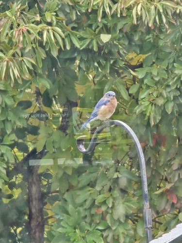
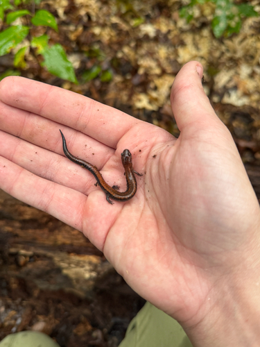
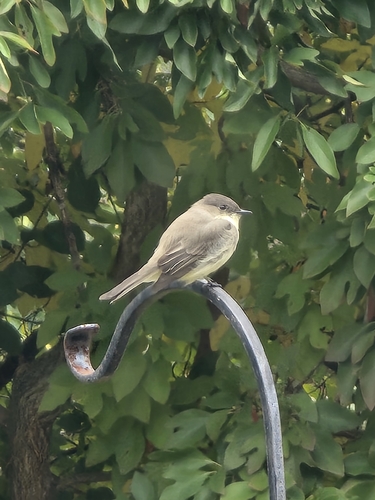
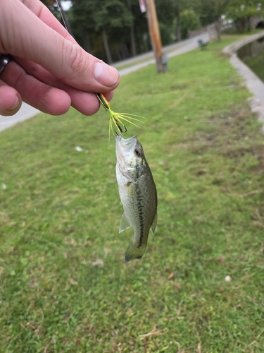
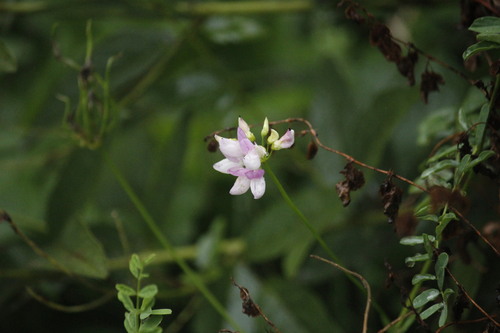
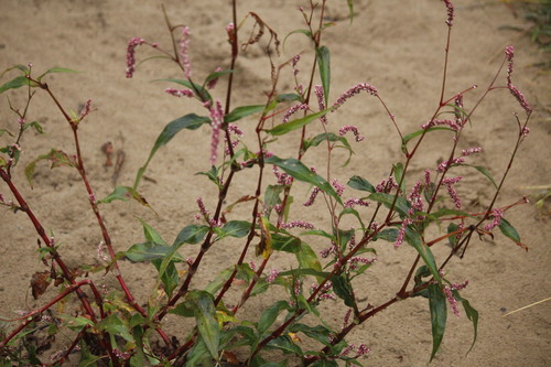
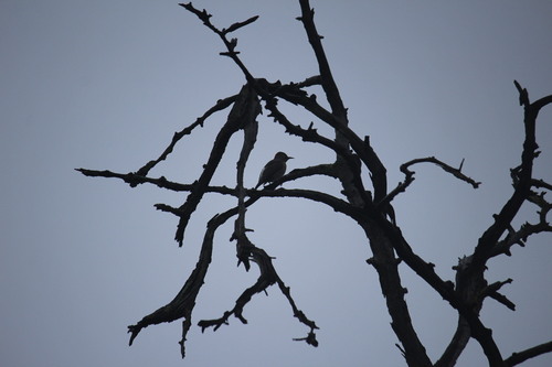
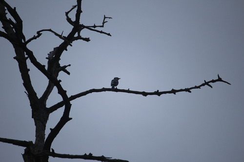
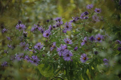
Research-grade observations from iNaturalist (within ~15 mi).
Nearest stream gauge
Events
Gallery
Sources
- • Wikipedia
- • US Census Bureau (ACS 5-year estimates)
- • NOAA National Weather Service
- • Wikidata
- • USGS Earthquake Catalog (global feed)
- • NCES via Urban Institute Education Data Portal
- • GBIF (Global Biodiversity Information Facility)
- • iNaturalist
- • CDC PLACES
- • Open-Meteo / sunrise-sunset.org
- • Wikipedia Pageviews API
- • Open Library