Browse / United States / New York / Old Westbury
Old Westbury
New Yorkvillage

Old Westbury
Total population
4,241
Median home value
$2,000,001
Bachelor's+
Median income
$250,001
Founded
1924
Demographic figures from US Census Bureau · ACS 5-year estimates. Overview below cites Wikipedia and may reference a different year.
City facts
Facts from Wikidata (CC0).
Overview
Old Westbury is a village in the towns of North Hempstead and Oyster Bay in Nassau County, on the North Shore of Long Island, in New York, United States. The population was 4,289 at the time of the 2020 census.
Read more on WikipediaHistory & geography
History
What is now the Village of Old Westbury was originally inhabited by Matinecock Native Americans. It was first settled by European colonists – primarily Dutchmen and Englishmen – in the mid-17th century. and was later joined by Henry Willis – one of the first English settlers in the area. Westbury had been a Quaker community of isolated farms until the railroad came in 1836. The estate of Robert Winthrop, an investment banker and member of the Dudley–Winthrop family, for whom Winthrop-University Hospital was named, has been similarly preserved. Part of Gertrude Vanderbilt Whitney's estate and her sculpture studio has been preserved and maintained by one of her grandchildren, Pamela Tower LeBoutillier. Its first mayor was William W. Cocks. At the time of its incorporation, the village had a population of approximately 500. Originally built as the water tower for the Cornelius Vanderbilt Whitney Residence, it now serves as the club's focal point. On December 27, 1948, in a referendum vote of 81-to-6, a measure passed to allow of territory at the westernmost edge of the village to secede, after four property owners in that area submitted a petition for the village to hold the vote and secede. This territory, accordingly, would become an unincorporated area of – and governed by – the Town of North Hempstead. A portion of the territory that seceded would become the Levitt & Sons-developed Roslyn Country Club development. Once the parkway was completed, many residents found it to not be the eyesore they had been anticipating and regretted making their commutes more inconvenient than necessary. In the 1950s, the state of New York purchased land from Charles E. Wilson – a former president of General Motors, who needed to sell off his Old Westbury estate to pull himself out of…
Geography
According to the United States Census Bureau, the village has a total area of , all land. The village lost territory to the Village of East Hills and the Town of North Hempstead in the late 1940s, between the 1940 census and the 1950 census. Precipitation is uniform throughout the year, with slight spring and fall peaks. | Feb light = 10.7 | Jan light = 9.6 | Mar light = 12.0 | Apr light = 13.3 | May light = 14.5 | Jun light = 15.1 | Jul light = 14.8 | Aug light = 13.8 | Sep light = 12.5 | Oct light = 11.1 | Nov light = 9.9 | Dec light = 9.3 }}
Excerpted from the corresponding Wikipedia article (CC BY-SA).
Demographics & economy
Race & ethnicity
Source: US Census Bureau — American Community Survey, 5-year estimates.
Geography
Coordinates & boundaries from the US Census TIGER/Line shapefiles.
Climate
Current forecast
Forecast for Old Westbury, NY from NOAA NWS API.
Air quality
Industrial & pollution facilities
Natural hazard risk
Health (adults)
Age-adjusted prevalence estimates from CDC PLACES (latest release).
Walkability
Amenities nearby
Wildlife & biodiversity
Schools
Largest nearby schools
- SYOSSET SENIOR HIGH SCHOOLHigh · SYOSSET · 2,266 students · 10.1:1 ratio
- FREEPORT HIGH SCHOOLHigh · FREEPORT · 2,264 students · 13.5:1 ratio
- UNIONDALE HIGH SCHOOLHigh · UNIONDALE · 2,080 students · 11.6:1 ratio
- ACADEMY CHARTER SCHOOLOther · HEMPSTEAD · 1,880 students · 17.1:1 ratio
- HEMPSTEAD HIGH SCHOOLHigh · HEMPSTEAD · 1,866 students · 23.6:1 ratio
- HICKSVILLE HIGH SCHOOLHigh · HICKSVILLE · 1,852 students · 13:1 ratio
- NEW HYDE PARK MEMORIAL HIGH SCHOOLHigh · NEW HYDE PARK · 1,727 students · 13.7:1 ratio
- NASSAU BOCESOther · GARDEN CITY · 1,712 students · 4.4:1 ratio
Public K–12 schools within ~10 mi from Urban Institute Education Data Portal (NCES Common Core of Data, 2022).
Earthquake history
Photos
Sights & places nearby
Notable people from here
Nearby places in New York
- Greenvale2.3 mi away · pop. 1,113
- Roslyn Heights2.3 mi away
- Carle Place2.6 mi away · pop. 5,188
- Albertson2.8 mi away · pop. 4,891
- Roslyn Harbor2.8 mi away
- Roslyn2.9 mi away
- Roslyn Estates3.4 mi away
- Mineola3.5 mi away
- Old Brookville3.5 mi away
- Glen Head4.2 mi away · pop. 4,653
- Muttontown4.2 mi away
- Flower Hill4.3 mi away · pop. 4,803
Geography & sun
Elevation, sunrise/sunset and daylight from Open-Meteo. Solar climatology from NASA POWER.
Nearby airports
Public attention
Pageview totals from the Wikimedia Pageviews API.
Books about Old Westbury
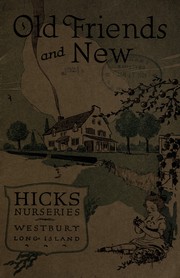
Search results from Open Library.
Recent natural events nearby
Ground air-quality sensors
Recently spotted species
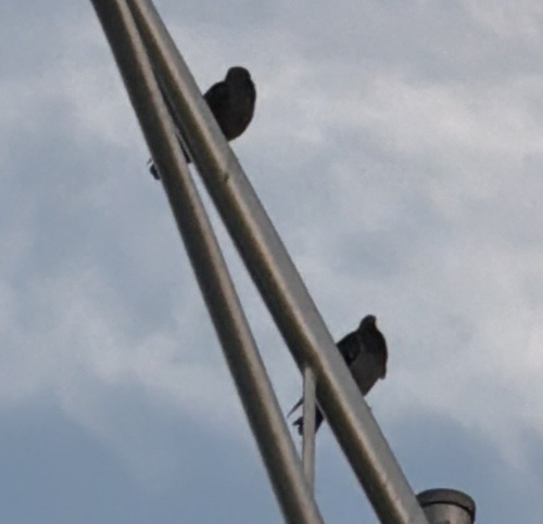
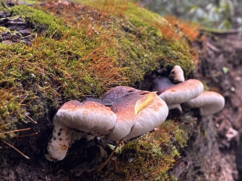
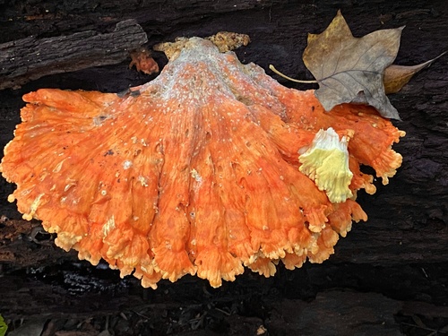
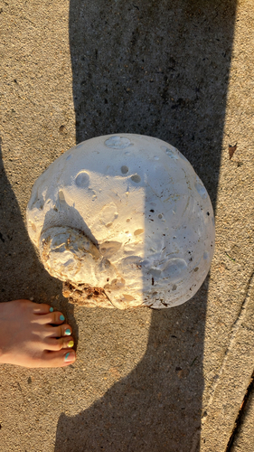
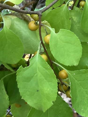
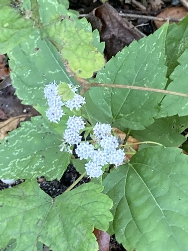
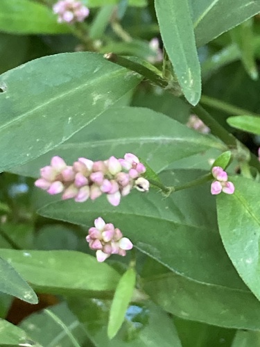
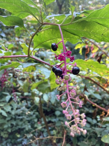
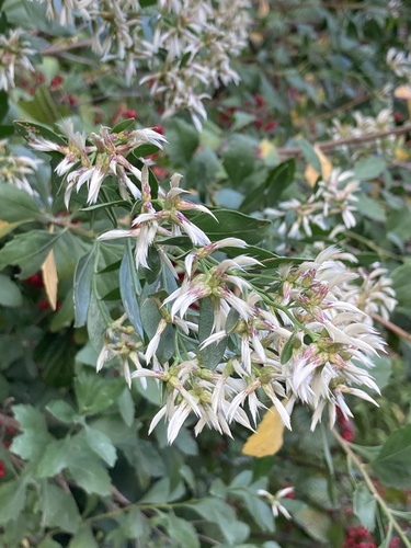
Research-grade observations from iNaturalist (within ~15 mi).
Nearest stream gauge
Events
Gallery
Sources
- • Wikipedia
- • US Census Bureau (ACS 5-year estimates)
- • NOAA National Weather Service
- • Wikidata
- • NCES via Urban Institute Education Data Portal
- • iNaturalist
- • CDC PLACES
- • Open-Meteo / sunrise-sunset.org
- • Wikipedia Pageviews API
- • Open Library