Browse / United States / Ohio / Conesville
Conesville
Ohiovillage

Conesville
Total population
211
Median home value
$98,600
Bachelor's+
Median income
$51,250
Air quality index
Demographic figures from US Census Bureau · ACS 5-year estimates. Overview below cites Wikipedia and may reference a different year.
City facts
Facts from Wikidata (CC0).
Overview
Conesville is a village in Coshocton County, Ohio, United States, along the Muskingum River. The population was 328 at the 2020 census.
Read more on WikipediaHistory & geography
History
Conesville is most likely named after Beebe Stewart Cone, who in 1847, with three other men, erected a sizable distillery near the west side of the Muskingum River. A group of houses for workers was built near the distillery, accompanied by several small businesses. The distillery burned down in 1857. Afterward, Cone gave up that business venture and moved on to Muscatine County, Iowa. The distillery was rebuilt by a man named James Beebe, but it also burned down a few years later. Prior to 1840, a man named Delaney purchased land in the same area and planned for it to be named Delaneysville, but it failed as an incorporated entity. The Conesville Power Plant, located just east of the village, started operations in 1957. It ceased operations in 2020 and was demolished in 2021.
Geography
According to the United States Census Bureau, the village has a total area of , all land.
Excerpted from the corresponding Wikipedia article (CC BY-SA).
Demographics & economy
Race & ethnicity
Source: US Census Bureau — American Community Survey, 5-year estimates.
Geography
Coordinates & boundaries from the US Census TIGER/Line shapefiles.
Climate
Current forecast
Forecast for Conesville, OH from NOAA NWS API.
Air quality
Current readings from Open-Meteo Air Quality API (Copernicus CAMS European reanalysis).
Industrial & pollution facilities
Natural hazard risk
Health (adults)
Age-adjusted prevalence estimates from CDC PLACES (latest release).
Walkability
Amenities nearby
Wildlife & biodiversity
Most-observed species
- American RobinTurdus migratorius Linnaeus, 1766 · Aves1,110
- American CrowCorvus brachyrhynchos C.L.Brehm, 1822 · Aves1,077
- Song SparrowMelospiza melodia (A.Wilson, 1810) · Aves1,050
- Northern CardinalCardinalis cardinalis (Linnaeus, 1758) · Aves1,041
- Turkey VultureCathartes aura (Linnaeus, 1758) · Aves903
- Red-winged BlackbirdAgelaius phoeniceus (Linnaeus, 1766) · Aves900
- Blue JayCyanocitta cristata (Linnaeus, 1758) · Aves830
- Mourning DoveZenaida macroura (Linnaeus, 1758) · Aves718
Citizen-science & research observations from the Global Biodiversity Information Facility (GBIF).
Schools
Earthquake history
Most recent
- M 2.9 — 2025-05-093 km S of Pleasant City, Ohio
- M 2.8 — 2025-04-291 km SE of Pleasant City, Ohio
- M 3.1 — 2025-04-243 km S of Pleasant City, Ohio
- M 3.1 — 2025-04-223 km ESE of Buffalo, Ohio
- M 2.8 — 2025-02-030 km NE of Reno, Ohio
- M 2.6 — 2021-11-192 km NW of Sherrodsville, Ohio
Events from the USGS Earthquake Catalog (global) (FDSN Event Web Service).
Photos
Sights & places nearby
Notable people from here


People born within ~10 km, from Wikidata (CC0). Click any name for their Wikipedia article.
Nearby places in Ohio
Geography & sun
Elevation, sunrise/sunset and daylight from Open-Meteo. Solar climatology from NASA POWER.
Nearby airports
Public attention
Pageview totals from the Wikimedia Pageviews API.
Books about Conesville
Search results from Open Library.
Recent natural events nearby
Ground air-quality sensors
Recently spotted species
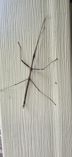
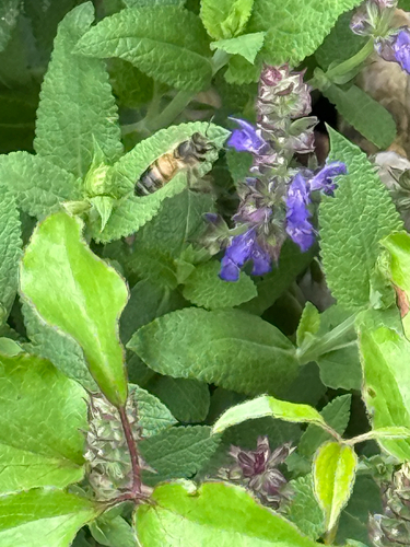
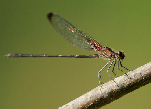
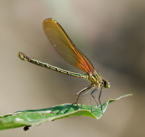
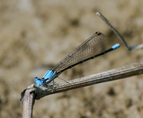
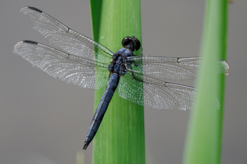
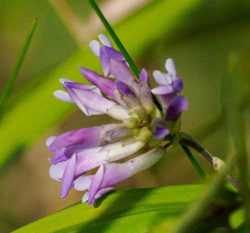
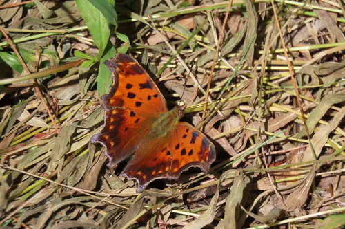
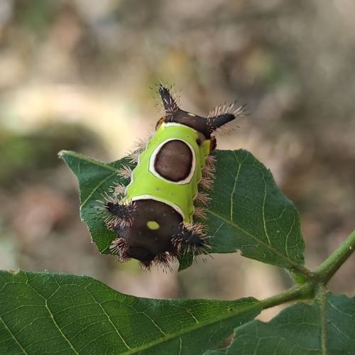
Research-grade observations from iNaturalist (within ~15 mi).
Nearest stream gauge
Events
Gallery
Sources
- • Wikipedia
- • US Census Bureau (ACS 5-year estimates)
- • NOAA National Weather Service
- • Wikidata
- • Open-Meteo Air Quality (CAMS)
- • USGS Earthquake Catalog (global feed)
- • GBIF (Global Biodiversity Information Facility)
- • iNaturalist
- • CDC PLACES
- • Open-Elevation
- • Open-Meteo / sunrise-sunset.org
- • Wikipedia Pageviews API
- • Open Library