Browse / United States / Oklahoma / Atoka
Atoka
Oklahomacity

Atoka
Total population
2,894
Median home value
$147,000
Bachelor's+
Median income
$44,087
Founded
1867
Demographic figures from US Census Bureau · ACS 5-year estimates. Overview below cites Wikipedia and may reference a different year.
City facts
Facts from Wikidata (CC0).
Overview
Atoka is a city in and the county seat of Atoka County, Oklahoma, United States. The population was 3,195 as of the 2020 Census, a 2.4% increase over the 3,107 reported at the 2010 census, which was itself an increase of 4.0 percent from the figure of 2,988 in 2000.
Read more on WikipediaHistory & geography
History
Atoka was founded by the Choctaw Indians in the 1850s, and named for Captain Atoka, a leader of the Choctaw Nation and the signatory of the Treaty of Dancing Rabbit Creek, which began the process of re-locating the Choctaw people from Mississippi to Oklahoma in 1830. The name "Atoka" is derived from the Choctaw word ' (or '), which means "ball ground" in English. He is believed to be buried near the town of Farris. Atoka is the site of the oldest Catholic parish in the Indian Territory, the oldest chapter of the Freemasons in Oklahoma, and the oldest chapter of the Order of the Eastern Star in Oklahoma. A small Civil War confrontation occurred on February 13, 1864, north of Atoka. Early in 1864, Colonel William A. Philips set out with some 1,500 Union troops from Fort Gibson, Oklahoma, to cut a swath through Confederate Indian Territory (Oklahoma). Their purpose was to break Confederate control over the Indian Territory and gain the support and possibly recruits from the Native Americans. "I take you with me to clean out the Indian Nation south of the river and drive away and destroy rebels. Let me say a few words to you that you are not to forget .... Those who are still in arms are rebels, who ought to die. Do not kill a prisoner after he has surrendered. But I do not ask you to take prisoners. I ask you to make your footsteps severe and terrible. Muskogees! (Creeks) the time has now come when you are to remember the authors of all your sufferings; those who started a needless and wicked war .... Stand by me faithfully and we will soon have peace ...." -- Colonel William A. Philips, to his men before beginning the campaign Along the way, Colonel Phillips sent out an advance of about 350 men toward Boggy Depot, a large Confederate supply base located on the Texas…
Geography
Atoka is located at (34.384206, -96.127577). According to the United States Census Bureau, the city has a total area of , of which is land and , or 2.00%, is water. }}
Excerpted from the corresponding Wikipedia article (CC BY-SA).
Demographics & economy
Race & ethnicity
Source: US Census Bureau — American Community Survey, 5-year estimates.
Geography
Coordinates & boundaries from the US Census TIGER/Line shapefiles.
Climate
10-year averages from ERA5 reanalysis (Open-Meteo).
Current forecast
Forecast for Atoka, OK from NOAA NWS API.
Air quality
Industrial & pollution facilities
Natural hazard risk
Health (adults)
Age-adjusted prevalence estimates from CDC PLACES (latest release).
Walkability
Amenities nearby
Wildlife & biodiversity
Schools
Largest nearby schools
- ATOKA ESElementary · Atoka · 587 students · 17.8:1 ratio
- TUSHKA ESElementary · Atoka · 333 students · 15.1:1 ratio
- ATOKA HSHigh · Atoka · 281 students · 14.1:1 ratio
- HARMONY PUBLIC SCHOOLElementary · Atoka · 219 students · 18.3:1 ratio
- STRINGTOWN ESElementary · Stringtown · 157 students · 14.3:1 ratio
- TUSHKA HSHigh · Atoka · 150 students · 15:1 ratio
- STRINGTOWN HSHigh · Stringtown · 91 students · 18.2:1 ratio
Public K–12 schools within ~10 mi from Urban Institute Education Data Portal (NCES Common Core of Data, 2022).
Earthquake history
Photos
Sights & places nearby
Notable people from here


People born within ~10 km, from Wikidata (CC0). Click any name for their Wikipedia article.
Nearby places in Oklahoma
Geography & sun
Elevation, sunrise/sunset and daylight from Open-Meteo. Solar climatology from NASA POWER.
Nearby airports
Public attention
Pageview totals from the Wikimedia Pageviews API.
Books about Atoka
Search results from Open Library.
Recent natural events nearby
- Wildfire Atoka Lake, Atoka, OklahomaWildfires · 2026-09-14 · 2 mi
- Wildfire Buck Creek, Pushmataha, OklahomaWildfires · 2026-08-25 · 26 mi
- Wildfire Tram Trail, Pushmataha, OklahomaWildfires · 2026-09-14 · 44 mi
- Wildfire Alexander Trail Fire, Pushmataha, OklahomaWildfires · 2026-08-30 · 48 mi
- Wildfire Alexander Trail, Pushmataha, OklahomaWildfires · 2026-08-30 · 48 mi
- Wildfire Snake Mountain, Pushmataha, OklahomaWildfires · 2026-08-14 · 55 mi
- Wildfire WRIGHT, Hughes, OklahomaWildfires · 2026-08-29 · 58 mi
- Wildfire PINTO, Stephens, OklahomaWildfires · 2026-09-08 · 83 mi
Wildfires, storms and other events from NASA EONET (last 12 months, within 250 mi).
Ground air-quality sensors
Recently spotted species
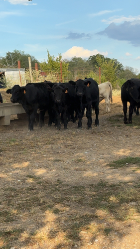
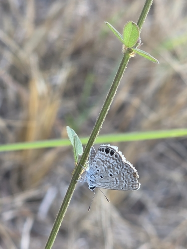
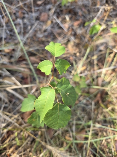
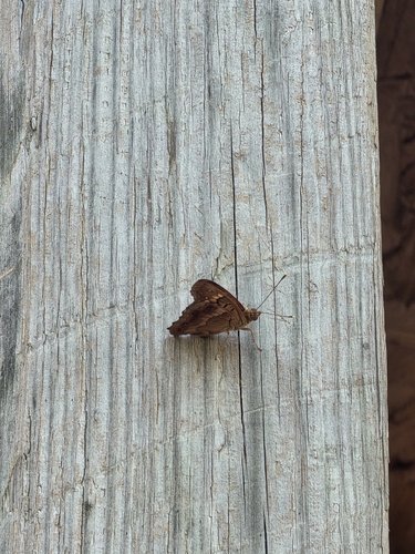
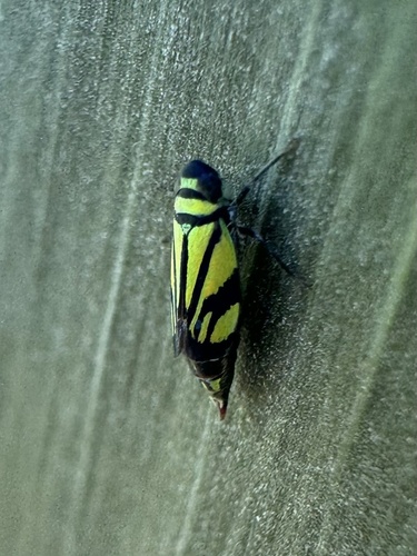
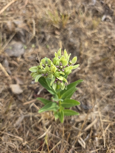
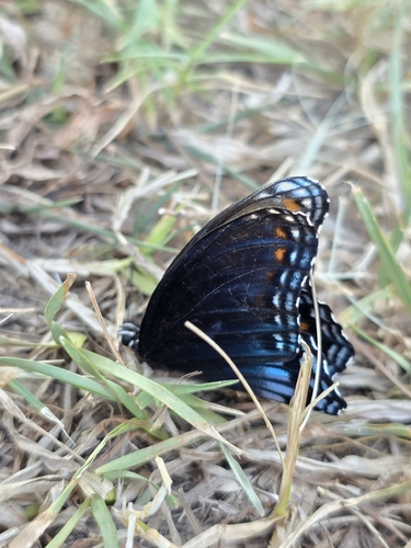
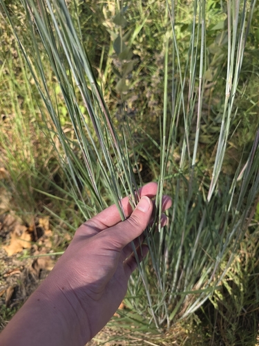
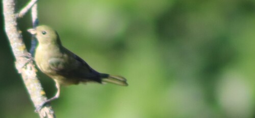
Research-grade observations from iNaturalist (within ~15 mi).
Nearest stream gauge
Events
Gallery
Sources
- • Wikipedia
- • US Census Bureau (ACS 5-year estimates)
- • Open-Meteo (ERA5 reanalysis)
- • NOAA National Weather Service
- • Wikidata
- • NCES via Urban Institute Education Data Portal
- • iNaturalist
- • CDC PLACES
- • Open-Elevation
- • Open-Meteo / sunrise-sunset.org
- • Wikipedia Pageviews API
- • Open Library
- • NASA EONET