Browse / United States / Oklahoma / Bartlesville
Bartlesville
Oklahomacity

Bartlesville
Total population
37,878
Median home value
$167,200
Bachelor's+
Median income
$58,869
Air quality index
Demographic figures from US Census Bureau · ACS 5-year estimates. Overview below cites Wikipedia and may reference a different year.
- Heat Advisory · ModerateHeat Advisory issued June 28 at 11:50PM CDT until June 29 at 8:00PM CDT by NWS Tulsa OK
Source: NOAA National Weather Service.
City facts
Facts from Wikidata (CC0).
Overview
Bartlesville is a city in Washington County, Oklahoma, United States. The population was 37,290 at the 2020 census. Bartlesville is 47 miles (76 km) north of Tulsa and 18 miles (29 km) south of the Kansas border. It is the county seat of Washington County. The Caney River runs through Bartlesville.
Read more on WikipediaHistory & geography
History
Jacob Bartles, son-in-law of Delaware chief Charles Journeycake, moved from Wyandotte County, Kansas, to Indian Territory in 1873. He settled first at Silver Lake, a natural lake south of the present city of Bartlesville. In 1874, he opened a trading post and post office on Turkey Creek, in what is now East Bartlesville. In the following year, he bought a grist mill on the Caney River and modified it to produce flour. Bartles then built a two-story general store and residence, and added a rooming house, a blacksmith shop and a livery stable. Other settlers soon moved into the immediate area, which was then called Bartles Town. In 1880, Bartles moved his Turkey Creek post office to this town. Bartles then provided the community with electricity, a telephone system and a water distribution system. Development of the present city began after William Johnstone and George B. Keeler opened a general store on the south side of the Caney River in 1884. The first newspaper, The Weekly Magnet, began publication in March 1895. The town was incorporated in Indian Territory in January 1897. The town was surveyed and platted in 1898, and eighty acres were offered to the Atchison, Topeka and Santa Fe Railroad for a depot. The railroad, through its Kansas, Oklahoma Central and Southwestern Railway subsidiary, reached the town in 1899. but grew to become a multi-billion dollar oil company. Although Bartlesville is no longer the headquarters, the company still has many employees in the community. In 2002, Phillips Petroleum merged with Conoco Oil Company and became ConocoPhillips. Bartlesville was originally a sundown town where African Americans were not allowed to live. By 1907, the restriction had been lifted, and newspapers noted the town's first natural death of an African…
Geography
According to the United States Census Bureau, the city has a total area of , of which is land and (0.09%) is water. The Caney River flows through Bartlesville, separating the downtown area from the east side. The river flooded in October 1986 as a result of unusually heavy rainfall. The city was split in half for several days, and the flood caused considerable property damage. The river broke its banks again in June 2007, cresting five feet below the 1986 level. The Pathfinder Parkway, a paved trail for walking, running, and cycling, runs alongside the Caney River. Bartlesville is familiar with both very hot conditions in the summer with a record high of and with very cold conditions with a record of low of . However, even with this record of extremes, the climate of Bartlesville is considered humid subtropical (Köppen Cfa) with cool winters and hot summers, with the majority of precipitation falling in spring, between the months of April and June. Bartlesville lies in Tornado Alley, meaning that severe weather, including tornadoes, can occur. Severe weather occurs most often in the spring months, and occurs with much less frequency throughout the rest of the year. The city lies within USDA plant hardiness zone 7a ().
Excerpted from the corresponding Wikipedia article (CC BY-SA).
Demographics & economy
Race & ethnicity
Source: US Census Bureau — American Community Survey, 5-year estimates.
Geography
Coordinates & boundaries from the US Census TIGER/Line shapefiles.
Climate
Current forecast
Forecast for Bartlesville, OK from NOAA NWS API.
Air quality
Current readings from Open-Meteo Air Quality API (Copernicus CAMS European reanalysis).
Industrial & pollution facilities
Natural hazard risk
Health (adults)
Age-adjusted prevalence estimates from CDC PLACES (latest release).
Walkability
Amenities nearby
Wildlife & biodiversity
Most-observed species
- Northern CardinalCardinalis cardinalis (Linnaeus, 1758) · Aves564
- Carolina ChickadeePoecile carolinensis (Audubon, 1834) · Aves483
- Tufted TitmouseBaeolophus bicolor (Linnaeus, 1766) · Aves469
- Mourning DoveZenaida macroura (Linnaeus, 1758) · Aves449
- Blue JayCyanocitta cristata (Linnaeus, 1758) · Aves389
- American CrowCorvus brachyrhynchos C.L.Brehm, 1822 · Aves388
- Red-bellied WoodpeckerMelanerpes carolinus (Linnaeus, 1758) · Aves368
- Downy WoodpeckerDryobates pubescens (Linnaeus, 1766) · Aves367
Citizen-science & research observations from the Global Biodiversity Information Facility (GBIF).
Schools
Largest nearby schools
- BARTLESVILLE HSHigh · Bartlesville · 1,642 students · 19.1:1 ratio
- MADISON MSMiddle · Bartlesville · 732 students · 18.8:1 ratio
- WAYSIDE ESElementary · Bartlesville · 694 students · 17.8:1 ratio
- CENTRAL MSMiddle · Bartlesville · 671 students · 15.6:1 ratio
- RANCH HEIGHTS ESElementary · Bartlesville · 616 students · 15.8:1 ratio
- DEWEY ESElementary · Dewey · 569 students · 17.2:1 ratio
- WOODROW WILSON ESElementary · Bartlesville · 560 students · 15.6:1 ratio
- RICHARD KANE ESElementary · Bartlesville · 514 students · 14.7:1 ratio
Public K–12 schools within ~10 mi from Urban Institute Education Data Portal (NCES Common Core of Data, 2022).
Earthquake history
Photos
Sights & places nearby
Notable people from here


People born within ~10 km, from Wikidata (CC0). Click any name for their Wikipedia article.
Nearby places in Oklahoma
Geography & sun
Elevation, sunrise/sunset and daylight from Open-Meteo. Solar climatology from NASA POWER.
Nearby airports
Public attention
Pageview totals from the Wikimedia Pageviews API.
Books about Bartlesville
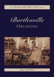
Search results from Open Library.
Recent natural events nearby
- Quivira RX Prescribed Fire, Stafford, KansasWildfires · 2026-04-26 · 170 mi
- Hog Farm Wildfire, Woodward, OklahomaWildfires · 2026-05-05 · 175 mi
- LO GAP Wildfire, Van Buren, ArkansasWildfires · 2026-04-17 · 202 mi
- RX Blanchard 1 Prescribed Fire, Stone, ArkansasWildfires · 2026-04-24 · 216 mi
- Proffitt Lake Wildfire, Meade, KansasWildfires · 2026-05-17 · 232 mi
Wildfires, storms and other events from NASA EONET (last 12 months, within 250 mi).
Ground air-quality sensors
Recently spotted species
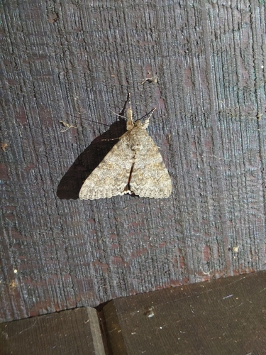
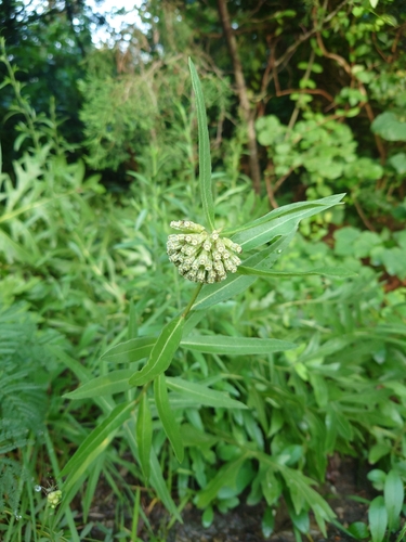
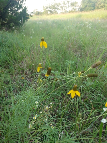
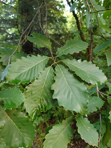


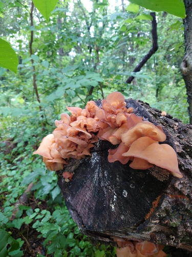

Research-grade observations from iNaturalist (within ~15 mi).
Nearest stream gauge
Live readings from USGS NWIS · measured 2026-06-27 16:45 UTC.
Events
Gallery
Geotagged photos within ~6 miles of Bartlesville, from Wikimedia Commons contributors.
 1.2 mi
 1.4 mi
 1.4 mi
 1.5 mi
 1.5 mi
 1.6 mi
 1.6 mi
 1.6 mi
 1.6 mi
 1.6 mi
 1.6 mi
 1.6 mi
 1.6 mi
 1.6 mi
 1.6 mi
 1.6 mi
 1.6 mi
 1.6 mi
 1.6 mi
 1.6 mi
 1.6 mi
 1.6 mi
 1.6 mi
 1.6 mi
Photos via Wikimedia Commons — see each image page for license & attribution.
Sources
- • Wikipedia
- • US Census Bureau (ACS 5-year estimates)
- • NOAA National Weather Service
- • Wikimedia Commons
- • Wikidata
- • Open-Meteo Air Quality (CAMS)
- • USGS NWIS (water data)
- • NCES via Urban Institute Education Data Portal
- • GBIF (Global Biodiversity Information Facility)
- • iNaturalist
- • CDC PLACES
- • Open-Meteo / sunrise-sunset.org
- • Wikipedia Pageviews API
- • Open Library
- • NASA EONET