Browse / United States / Oklahoma / Central High
Central High
Oklahomatown

Central High
Total population
1,489
Median home value
$211,200
Bachelor's+
Median income
$75,435
Founded
1921
Demographic figures from US Census Bureau · ACS 5-year estimates. Overview below cites Wikipedia and may reference a different year.
City facts
Facts from Wikidata (CC0).
Overview
Central High is a town in Stephens County, Oklahoma, United States. The population was 1,181 at the time of the 2020 Census.
Read more on WikipediaHistory & geography
History
The town was named in 1921, because it was near the center of a consolidated high school district (District 34), created from four smaller districts in Stephens County: Wolf Creek, Nellie, Prairie Center, and Pleasant Hill. Until then, students living in the area only had access to eighth grade education in each of the old districts. When Central High was formed, it built a four-room junior high and a senior high school named Central High School. Lower-grade students attended elementary schools in their former districts. This arrangement lasted until the late 1930s. A fire in 1952 destroyed the original Central High School. The town incorporated in 1995. Supporters of incorporation wanted this so Central High could prevent annexation by surrounding towns, notably Duncan, Lawton or Marlow. Incorporation would also permit Central High to apply for municipal grants.
Geography
Central High is located west of Marlow and north of SH 7. According to the United States Census Bureau, the town has a total area of , of which is land and (0.24%) is water.
Excerpted from the corresponding Wikipedia article (CC BY-SA).
Demographics & economy
Race & ethnicity
Source: US Census Bureau — American Community Survey, 5-year estimates.
Geography
Coordinates & boundaries from the US Census TIGER/Line shapefiles.
Climate
Current forecast
Forecast for Central High, OK from NOAA NWS API.
Air quality
Industrial & pollution facilities
Natural hazard risk
Health (adults)
Age-adjusted prevalence estimates from CDC PLACES (latest release).
Walkability
Amenities nearby
Wildlife & biodiversity
Schools
Largest nearby schools
- DUNCAN HSHigh · Duncan · 946 students · 18.2:1 ratio
- MARLOW ESElementary · Marlow · 759 students · 17.3:1 ratio
- DUNCAN MSMiddle · Duncan · 753 students · 15.7:1 ratio
- MARLOW HSHigh · Marlow · 377 students · 15.1:1 ratio
- HORACE MANN ESElementary · Duncan · 342 students · 16.3:1 ratio
- MARLOW MSMiddle · Marlow · 317 students · 16.7:1 ratio
- PLATO ESElementary · Duncan · 290 students · 19.3:1 ratio
- WILL ROGERS PRE-K CTROther · Duncan · 211 students · 23.4:1 ratio
Public K–12 schools within ~10 mi from Urban Institute Education Data Portal (NCES Common Core of Data, 2022).
Earthquake history
Photos
Sights & places nearby
Notable people from here
Nearby places in Oklahoma
Geography & sun
Elevation, sunrise/sunset and daylight from Open-Meteo. Solar climatology from NASA POWER.
Nearby airports
Public attention
Pageview totals from the Wikimedia Pageviews API.
Books about Central High

Search results from Open Library.
Recent natural events nearby
- Wildfire PINTO, Stephens, OklahomaWildfires · 2026-09-08 · 31 mi
- Wildfire SOUTH RAILROAD, Comanche, OklahomaWildfires · 2026-08-30 · 36 mi
- Wildfire RAILROAD SOUTH, Comanche, OklahomaWildfires · 2026-08-29 · 36 mi
- Wildfire MEERS, Comanche, OklahomaWildfires · 2026-09-08 · 37 mi
- Wildfire 2690, Caddo, OklahomaWildfires · 2026-08-21 · 38 mi
- Wildfire GRACEMONT, Caddo, OklahomaWildfires · 2026-09-13 · 50 mi
- Wildfire Calvary Creek, Washita, OklahomaWildfires · 2026-09-15 · 63 mi
- Wildfire Atoka Lake, Atoka, OklahomaWildfires · 2026-09-14 · 114 mi
Wildfires, storms and other events from NASA EONET (last 12 months, within 250 mi).
Ground air-quality sensors
Recently spotted species
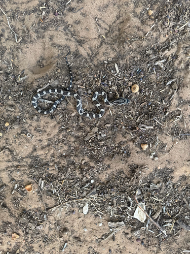
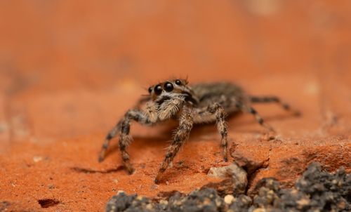
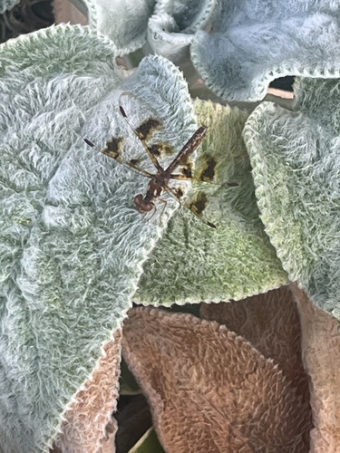
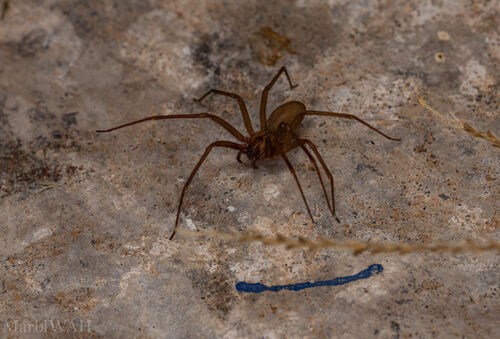
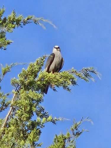

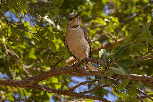
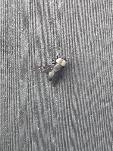
Research-grade observations from iNaturalist (within ~15 mi).
Nearest stream gauge
Events
Gallery
Sources
- • Wikipedia
- • US Census Bureau (ACS 5-year estimates)
- • NOAA National Weather Service
- • Wikidata
- • NCES via Urban Institute Education Data Portal
- • iNaturalist
- • CDC PLACES
- • Open-Meteo / sunrise-sunset.org
- • Wikipedia Pageviews API
- • Open Library
- • NASA EONET