Browse / United States / Oklahoma / Felt
Felt
OklahomaCDP

Felt
Total population
117
Demographic figures from US Census Bureau · ACS 5-year estimates. Overview below cites Wikipedia and may reference a different year.
City facts
Facts from Wikidata (CC0).
Overview
Felt is a small unincorporated community and census-designated place (CDP) in Cimarron County, Oklahoma, United States. As of the 2020 census, the town’s population was 77. It was named for C.F.W. Felt of the Santa Fe Railroad. Nearby is the Cedar Breaks Archeological District, included on the National Register of Historic Places listings in Cimarron County, Oklahoma. The community is served by a post office and a school. During the Great Depression in 1936 a farm in Felt was the site of the iconic Dust Bowl photograph titled Farmer and Sons Walking in the Face of a Dust Storm.
Read more on WikipediaHistory & geography
Geography
Felt is located in southwestern Cimarron County, near the western end of the Oklahoma Panhandle. Felt is less than five miles north of the Texas border, and just over 12 miles east of the New Mexico border. It is the nearest Oklahoma community to the Texhomex marker, being about 14 miles east-northeast of the tripoint of Texas, Oklahoma and New Mexico. U.S. Routes 56, 64, and 412 pass concurrently through the community, leading northeast to Boise City, the Cimarron County seat, and southwest to the larger Clayton, New Mexico. The town is essentially surrounded by the Rita Blanca National Grassland, and the federally-maintained Felt Picnic Site is just south of town.
Excerpted from the corresponding Wikipedia article (CC BY-SA).
Demographics & economy
Geography
Coordinates & boundaries from the US Census TIGER/Line shapefiles.
Climate
Current forecast
Forecast for Felt, OK from NOAA NWS API.
Air quality
Industrial & pollution facilities
Natural hazard risk
Health (adults)
Walkability
Amenities nearby
Wildlife & biodiversity
Schools
Earthquake history
Photos
Sights & places nearby
Notable people from here
Nearby places in Oklahoma
Geography & sun
Elevation, sunrise/sunset and daylight from Open-Meteo. Solar climatology from NASA POWER.
Nearby airports
Public attention
Pageview totals from the Wikimedia Pageviews API.
Books about Felt


Search results from Open Library.
Recent natural events nearby
- Wildfire Rabbit Ear East, Union, New MexicoWildfires · 2026-08-24 · 20 mi
- Wildfire Sheep Pen, Las Animas, ColoradoWildfires · 2026-08-12 · 45 mi
- Wildfire Brown, Oldham, TexasWildfires · 2026-08-09 · 83 mi
- Wildfire Fowl, Harding, New MexicoWildfires · 2026-09-02 · 88 mi
- Wildfire LAUGHLIN, Colfax, New MexicoWildfires · 2026-08-25 · 92 mi
- Wildfire Post, Las Animas, ColoradoWildfires · 2026-08-11 · 97 mi
- Wildfire 4V, San Miguel, New MexicoWildfires · 2026-08-29 · 110 mi
- Wildfire Rayado Mesa, Colfax, New MexicoWildfires · 2026-07-27 · 115 mi
Wildfires, storms and other events from NASA EONET (last 12 months, within 250 mi).
Ground air-quality sensors
Recently spotted species
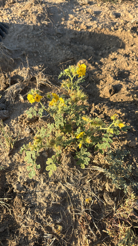
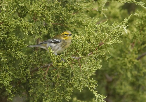
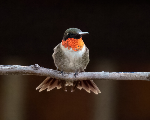
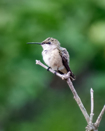
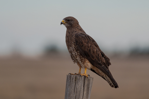
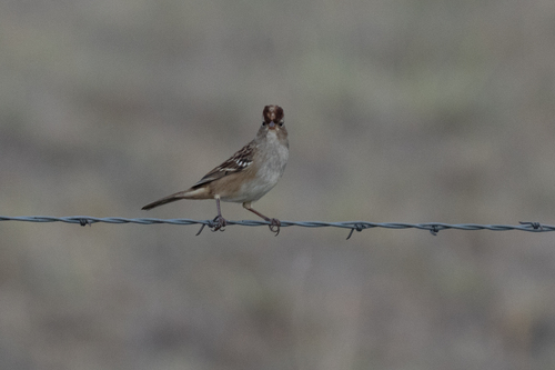
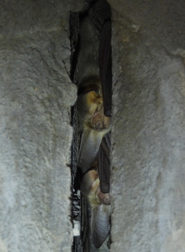
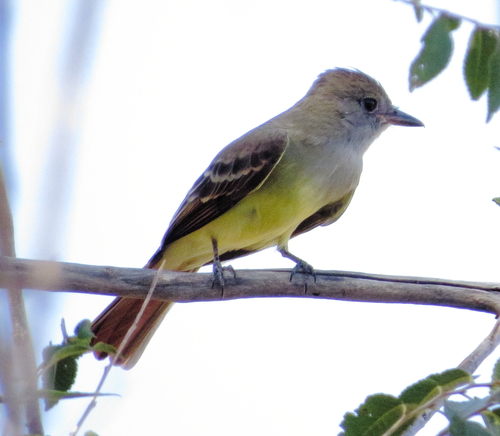
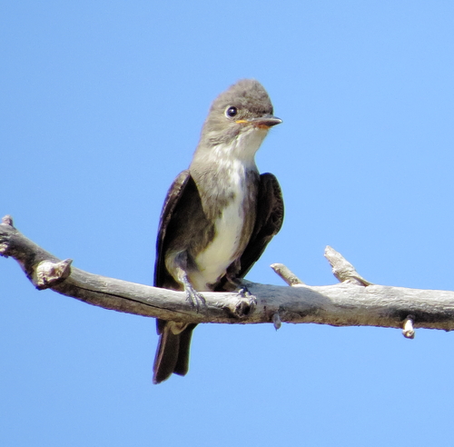
Research-grade observations from iNaturalist (within ~15 mi).
Nearest stream gauge
Events
Gallery
Sources
- • Wikipedia
- • NOAA National Weather Service
- • Wikidata
- • iNaturalist
- • Open-Meteo / sunrise-sunset.org
- • Wikipedia Pageviews API
- • Open Library
- • NASA EONET