Browse / United States / Oklahoma / Kenton
Kenton
OklahomaCDP

Kenton
Total population
0
Median home value
$0
Median income
$0
Demographic figures from US Census Bureau · ACS 5-year estimates. Overview below cites Wikipedia and may reference a different year.
- Flood Watch · SevereFlood Watch issued September 23 at 11:15PM CDT until September 25 at 7:00AM CDT by NWS Amarillo TX
Source: NOAA National Weather Service.
City facts
Facts from Wikidata (CC0).
Overview
Kenton is a census-designated place (CDP) in Cimarron County, Oklahoma, United States. As of the 2020 census, the community had 31 residents.
Read more on WikipediaHistory & geography
History
The post office for a place named Carrizo was opened September 9, 1886, with the name changed to Florence on April 9, 1890, the location being just over the line in New Mexico. It was, along with a place called Mineral, one of only two significant settlements in the area of the pre-statehood Oklahoma Panhandle. in 1893. At the time Oklahoma became a state (on November 16, 1907), it served as the temporary county seat for Cimarron County. The building now known as "The Merc" served as the temporary courthouse and held the county records. The citizens of the county voted to move the seat on June 11, 1908, to Boise City. Kenton is the only Oklahoma community that observes (albeit informally) Mountain Time, reportedly because most of the people who interact with the town are from New Mexico or Colorado.
Geography
Kenton lies in the northwest corner of Cimarron County, approximately east of the New Mexico state line and south of the Colorado state line. It is located on the south side of the Cimarron River in the Cimarron River valley. State Highway 325 serves the community. Kenton experiences a semi-arid climate (Köppen BSk) with cool, dry winters and very hot, wetter summers.
Excerpted from the corresponding Wikipedia article (CC BY-SA).
Demographics & economy
Source: US Census Bureau — American Community Survey, 5-year estimates.
Geography
Coordinates & boundaries from the US Census TIGER/Line shapefiles.
Climate
Current forecast
Forecast for Kenton, OK from NOAA NWS API.
Air quality
Industrial & pollution facilities
Natural hazard risk
Health (adults)
Walkability
Amenities nearby
Wildlife & biodiversity
Schools
Earthquake history
Photos
Sights & places nearby
Notable people from here
Nearby places in Oklahoma
Geography & sun
Elevation, sunrise/sunset and daylight from Open-Meteo. Solar climatology from NASA POWER.
Nearby airports
Public attention
Pageview totals from the Wikimedia Pageviews API.
Books about Kenton
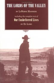
Search results from Open Library.
Recent natural events nearby
- Wildfire Sheep Pen, Las Animas, ColoradoWildfires · 2026-08-12 · 21 mi
- Wildfire Rabbit Ear East, Union, New MexicoWildfires · 2026-08-24 · 29 mi
- Wildfire Post, Las Animas, ColoradoWildfires · 2026-08-11 · 81 mi
- Wildfire LAUGHLIN, Colfax, New MexicoWildfires · 2026-08-25 · 87 mi
- Wildfire Fowl, Harding, New MexicoWildfires · 2026-09-02 · 103 mi
- Wildfire Brown, Oldham, TexasWildfires · 2026-08-09 · 106 mi
- Wildfire Rayado Mesa, Colfax, New MexicoWildfires · 2026-07-27 · 112 mi
- Wildfire 4V, San Miguel, New MexicoWildfires · 2026-08-29 · 120 mi
Wildfires, storms and other events from NASA EONET (last 12 months, within 250 mi).
Ground air-quality sensors
Recently spotted species
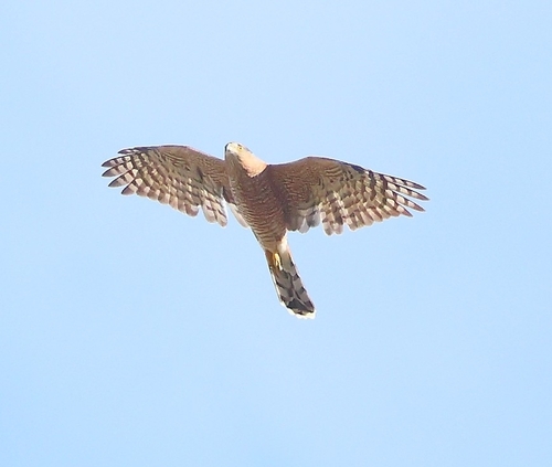
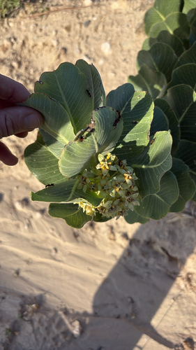
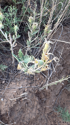


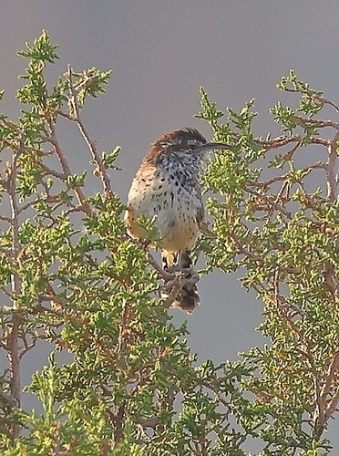
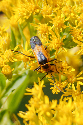


Research-grade observations from iNaturalist (within ~15 mi).
Nearest stream gauge
Events
Gallery
Sources
- • Wikipedia
- • US Census Bureau (ACS 5-year estimates)
- • NOAA National Weather Service
- • Wikidata
- • iNaturalist
- • Open-Elevation
- • Open-Meteo / sunrise-sunset.org
- • Wikipedia Pageviews API
- • Open Library
- • NASA EONET