Browse / United States / Oklahoma / Purcell
Purcell
Oklahomacity

Purcell
Total population
6,803
Median home value
$171,600
Bachelor's+
Median income
$63,457
Founded
1887
Air quality index
Demographic figures from US Census Bureau · ACS 5-year estimates. Overview below cites Wikipedia and may reference a different year.
City facts
Facts from Wikidata (CC0).
Overview
Purcell is a city in and the county seat of McClain County, Oklahoma, United States. As of the 2020 census, the city population was 6,651, a 13% increase from 2010.
Read more on WikipediaHistory & geography
History
Purcell was at the north end of the Gulf, Colorado and Santa Fe Railway, owned by the AT&SF. Today, Amtrak serves the town with the Heartland Flyer at the station near the old AT&SF depot. Purcell was the only town on the border of the Unassigned Lands, and began attracting hopeful settlers even before the Land Rush of 1889. Town lots went on sale April 5, 1887, and a post office was established 16 days later. The Purcell Register, the town's oldest newspaper, was established in 1887, and continued operating into the 21st Century. Residents elected the town's first mayor, James Taylor Bradley, on August 13, 1895. The town was incorporated on October 3, 1898. Located on the Canadian River, it was called the "Queen City of the Chickasaw Nation." In 1895, one of the five district courts of the Chickasaw Nation was located in Purcell, with the first session opening November 18, 1895. The court house escaped destruction the next day, when a fire destroyed most of the buildings in the business district. Construction of the Oklahoma Central Railroad ("OCR"), which would connect the Lehigh coal mines with Chickasha, reached Purcell in March 1907. The OCR located its main yards, barns and most of its equipment in Purcell. Although the OCR went bankrupt in the following year, its assets were acquired by the AT&SF.
Geography
Purcell is within the Great Plains region, located at (35.017465, -97.369537). It is east of the center of McClain County and is bordered to the east by the Canadian River, which forms the border with Cleveland County. According to the U.S. Census Bureau, the city has a total area of , of which are land and , or 3.40%, are water. Purcell is located along the I-35 Corridor in the central part of the state, on a bluff overlooking the Canadian River valley within the Interior Plains region. It is south of Norman and south of Oklahoma City. The view from atop Purcell's Red Hill offers a scenic glimpse at both the South Canadian River and the University of Oklahoma campus in neighboring Norman. The central core of Purcell is located at the intersection of US-77 and OK-74/OK-39. Access to I-35 is at the north and south ends of the town. Prior to the construction of I-35, this route of US-77 was the heavily traveled road from Oklahoma City to Dallas.
Excerpted from the corresponding Wikipedia article (CC BY-SA).
Demographics & economy
Race & ethnicity
Source: US Census Bureau — American Community Survey, 5-year estimates.
Geography
Coordinates & boundaries from the US Census TIGER/Line shapefiles.
Climate
Air quality
Current readings from Open-Meteo Air Quality API (Copernicus CAMS European reanalysis).
Industrial & pollution facilities
Natural hazard risk
Health (adults)
Walkability
Amenities nearby
Wildlife & biodiversity
Most-observed species
- American CrowCorvus brachyrhynchos C.L.Brehm, 1822 · Aves1,149
- Northern CardinalCardinalis cardinalis (Linnaeus, 1758) · Aves942
- Carolina ChickadeePoecile carolinensis (Audubon, 1834) · Aves678
- Blue JayCyanocitta cristata (Linnaeus, 1758) · Aves628
- Red-bellied WoodpeckerMelanerpes carolinus (Linnaeus, 1758) · Aves537
- European StarlingSturnus vulgaris Linnaeus, 1758 · Aves537
- Carolina WrenThryothorus ludovicianus (Latham, 1790) · Aves533
- Turkey VultureCathartes aura (Linnaeus, 1758) · Aves521
Citizen-science & research observations from the Global Biodiversity Information Facility (GBIF).
Schools
Earthquake history
Most recent
- M 2.57 — 2026-09-146 km E of Calumet, Oklahoma
- M 3.29 — 2026-09-042 km SSW of Dibble, Oklahoma
- M 2.56 — 2026-06-136 km ENE of Edmond, Oklahoma
- M 3.5 — 2026-05-192 km ESE of Johnson, Oklahoma
- M 2.72 — 2026-05-154 km SE of Ratliff City, Oklahoma
- M 2.61 — 2026-03-238 km ENE of Calumet, Oklahoma
Events from the USGS Earthquake Catalog (global) (FDSN Event Web Service).
Photos
Sights & places nearby
Notable people from here


People born within ~10 km, from Wikidata (CC0). Click any name for their Wikipedia article.
Nearby places in Oklahoma
Geography & sun
Elevation, sunrise/sunset and daylight from Open-Meteo. Solar climatology from NASA POWER.
Nearby airports
Public attention
Pageview totals from the Wikimedia Pageviews API.
Books about Purcell

Search results from Open Library.
Recent natural events nearby
- Wildfire PINTO, Stephens, OklahomaWildfires · 2026-09-08 · 44 mi
- Wildfire 2690, Caddo, OklahomaWildfires · 2026-08-21 · 47 mi
- Wildfire GRACEMONT, Caddo, OklahomaWildfires · 2026-09-13 · 53 mi
- Wildfire WRIGHT, Hughes, OklahomaWildfires · 2026-08-29 · 72 mi
- Wildfire MEERS, Comanche, OklahomaWildfires · 2026-09-08 · 75 mi
- Wildfire SOUTH RAILROAD, Comanche, OklahomaWildfires · 2026-08-30 · 82 mi
- Wildfire RAILROAD SOUTH, Comanche, OklahomaWildfires · 2026-08-29 · 82 mi
- Wildfire Atoka Lake, Atoka, OklahomaWildfires · 2026-09-14 · 83 mi
Wildfires, storms and other events from NASA EONET (last 12 months, within 250 mi).
Ground air-quality sensors
Recently spotted species
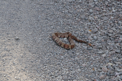
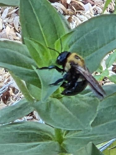
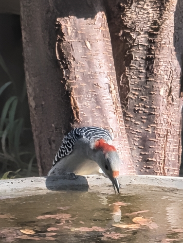
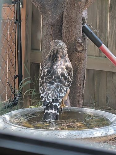
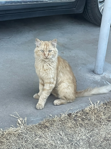
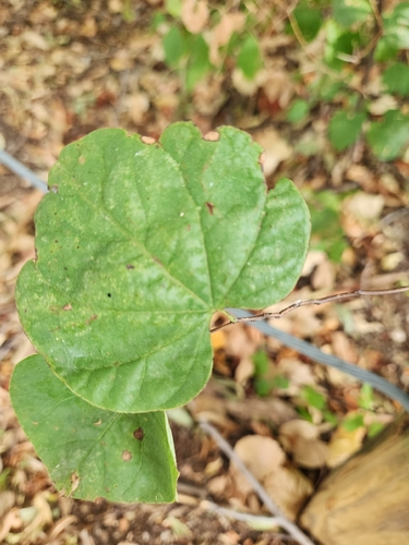
Research-grade observations from iNaturalist (within ~15 mi).
Nearest stream gauge
Live readings from USGS NWIS · measured 2026-09-24 18:30 UTC.
Events
Gallery
Sources
- • Wikipedia
- • US Census Bureau (ACS 5-year estimates)
- • Wikidata
- • Open-Meteo Air Quality (CAMS)
- • USGS Earthquake Catalog (global feed)
- • USGS NWIS (water data)
- • GBIF (Global Biodiversity Information Facility)
- • iNaturalist
- • Open-Meteo / sunrise-sunset.org
- • Wikipedia Pageviews API
- • Open Library
- • NASA EONET