Browse / United States / Oklahoma / Etowah
Etowah
Oklahomatown

Etowah
Total population
138
Median home value
$120,000
Bachelor's+
Median income
$55,313
Demographic figures from US Census Bureau · ACS 5-year estimates. Overview below cites Wikipedia and may reference a different year.
City facts
Facts from Wikidata (CC0).
Overview
Etowah is a town in Cleveland County, Oklahoma, United States. The population was 159 at the 2020 census, a 72.8% increase from 2010.
Read more on WikipediaHistory & geography
History
Etowah developed as a rural community east of Noble, Oklahoma along Etowah Road, emerging on the route that connected Purcell, Oklahoma and Tecumseh, Oklahoma after the Land Run of 1889 opened the surrounding Unassigned Lands to non-Native settlement. The name was reported by historian George H. Shirk to have been adopted from a Cherokee settlement in Georgia, and is commonly traced to a Muscogee word meaning “town.” An Etowah post office was established in 1894 and discontinued in 1907 when rural free delivery from Noble reached the area. By 1911, the settlement had about seventy-five residents and supported two general stores, a blacksmith, and a cotton oil mill. A community homecoming began in the 1930s and continued for decades. Residents petitioned Cleveland County, Oklahoma commissioners in 1967 to incorporate Etowah; the election was never held, but the town operated with a municipal government for years. In 1983, after trustees enacted zoning ordinances, a court ruled Etowah to be an incorporated municipality based on its long, continuous operation. Etowah remained a dispersed rural community through the twentieth century, with many residents commuting to nearby cities. The population was 122 in 2000, declined to 92 in 2010, and grew to 159 by 2020.
Geography
Etowah is located in eastern Cleveland County, Oklahoma, approximately southeast of Norman and east of Noble. The town lies near the intersection of Etowah Road and 192nd Avenue SE in a predominantly rural area characterized by open farmland and scattered woodlands. According to the United States Census Bureau, Etowah has a total area of , all land. The elevation is approximately above sea level. Etowah is part of the Oklahoma City metropolitan area and is situated within the Cross Timbers ecoregion, which features a mix of prairie and oak woodlands.
Excerpted from the corresponding Wikipedia article (CC BY-SA).
Demographics & economy
Race & ethnicity
Source: US Census Bureau — American Community Survey, 5-year estimates.
Geography
Coordinates & boundaries from the US Census TIGER/Line shapefiles.
Climate
Current forecast
Forecast for Etowah, OK from NOAA NWS API.
Air quality
Industrial & pollution facilities
Natural hazard risk
Health (adults)
Age-adjusted prevalence estimates from CDC PLACES (latest release).
Walkability
Amenities nearby
Wildlife & biodiversity
Schools
Largest nearby schools
- LITTLE AXE ESElementary · Norman · 587 students · 15.9:1 ratio
- LITTLE AXE HSHigh · Norman · 331 students · 15:1 ratio
- LITTLE AXE MSMiddle · Norman · 256 students · 13.5:1 ratio
Public K–12 schools within ~10 mi from Urban Institute Education Data Portal (NCES Common Core of Data, 2022).
Earthquake history
Photos
Sights & places nearby
Notable people from here
Nearby places in Oklahoma
Geography & sun
Elevation, sunrise/sunset and daylight from Open-Meteo. Solar climatology from NASA POWER.
Nearby airports
Public attention
Pageview totals from the Wikimedia Pageviews API.
Books about this place
Recent natural events nearby
- Wildfire PINTO, Stephens, OklahomaWildfires · 2026-09-08 · 55 mi
- Wildfire 2690, Caddo, OklahomaWildfires · 2026-08-21 · 57 mi
- Wildfire WRIGHT, Hughes, OklahomaWildfires · 2026-08-29 · 60 mi
- Wildfire GRACEMONT, Caddo, OklahomaWildfires · 2026-09-13 · 62 mi
- Wildfire Atoka Lake, Atoka, OklahomaWildfires · 2026-09-14 · 78 mi
- Wildfire MEERS, Comanche, OklahomaWildfires · 2026-09-08 · 88 mi
- Wildfire Buck Creek, Pushmataha, OklahomaWildfires · 2026-08-25 · 94 mi
- Wildfire SOUTH RAILROAD, Comanche, OklahomaWildfires · 2026-08-30 · 95 mi
Wildfires, storms and other events from NASA EONET (last 12 months, within 250 mi).
Ground air-quality sensors
Recently spotted species
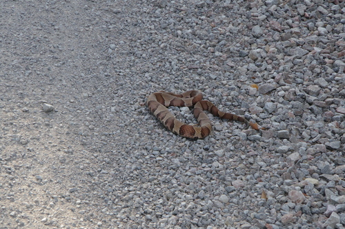
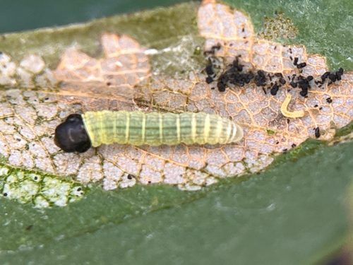
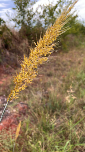
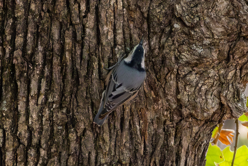
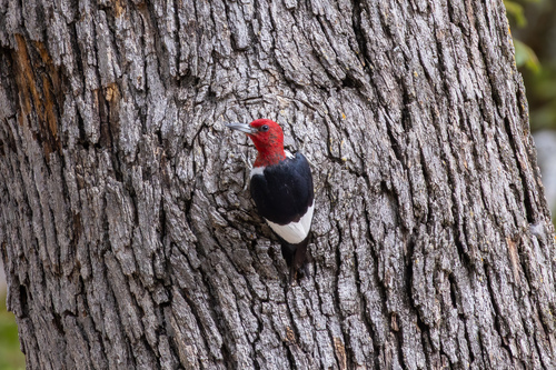
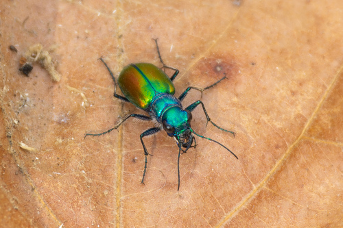
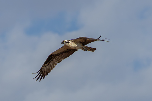
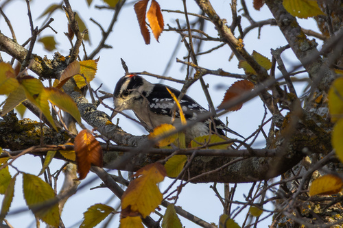
Research-grade observations from iNaturalist (within ~15 mi).
Nearest stream gauge
Events
Gallery
Sources
- • Wikipedia
- • US Census Bureau (ACS 5-year estimates)
- • NOAA National Weather Service
- • Wikidata
- • NCES via Urban Institute Education Data Portal
- • iNaturalist
- • CDC PLACES
- • Open-Meteo / sunrise-sunset.org
- • Wikipedia Pageviews API
- • NASA EONET