Browse / United States / Oklahoma / Watts
Watts
Oklahomatown

Watts
Total population
234
Median home value
$93,600
Bachelor's+
Median income
$34,063
Demographic figures from US Census Bureau · ACS 5-year estimates. Overview below cites Wikipedia and may reference a different year.
City facts
Facts from Wikidata (CC0).
Overview
Watts is a town in northern Adair County, Oklahoma, United States. It was named for John Watts, also known as Young Tassel, a Chickamauga Cherokee chief, who died in 1802. As of the 2020 census, Watts had a population of 227.
Read more on WikipediaHistory & geography
History
Watts is near the site of Old Fort Wayne, which was founded in 1838. The Kansas City Southern Railway (KCS) built a line through the area in 1895-96, and in 1912, relocated its division point from Stillwell to Watts Switch, one mile north of a community called Ballard. Frank C. Adair and Frank Howard organized the Guarantee Bank. After statehood, Adair also became the first sheriff of Adair County. Several other businesses sprang up in Watts. Hotels and rooming houses catered to the construction workers and railroad travelers. A lumberyard moved from Ballard, a hardware store and two livery stables were not far behind. At some point in these early days, three doctors opened practices in town. No doubt their patients supported the two drug stores in town. Prosperity had apparently come to Watts, because A. W. Willey opened a bakery and a man called "Cigar" Smith moved from Stilwell to manufacture cigars. The local newspaper, the Watts Watchman, began publication sometime in the 1910s. A post office was established inside a store March 30, 1912. The town began to decline even before the Great Depression took hold. KCS, like many American railroads, fell on hard times between World War I and World War II. During this period, KCS began dismantling its operations in Watts. It removed the roundhouse, coal chute, water pump station, icehouse, and water tower, as they were no longer needed. The depot, razed in the 1980s, was the last thing to go. Idled workers had to find work elsewhere. No census data were reported at either the time of statehood or the 1910 U.S. Census. An unofficial estimate of 300 residents was made in 1913. The first official count was 396 at the 1920 census. This declined to 353 in 1930, then reached its bottom of 267 in 1950, before rising to 326 in…
Geography
According to the United States Census Bureau, the town has a total area of , all land. Watts is located on U.S. Highway 59 north of Westville. Nearby Ballard Creek is a tributary of the Illinois River.
Excerpted from the corresponding Wikipedia article (CC BY-SA).
Demographics & economy
Race & ethnicity
Source: US Census Bureau — American Community Survey, 5-year estimates.
Geography
Coordinates & boundaries from the US Census TIGER/Line shapefiles.
Climate
Current forecast
Forecast for Watts, OK from NOAA NWS API.
Air quality
Industrial & pollution facilities
Natural hazard risk
Health (adults)
Walkability
Amenities nearby
Wildlife & biodiversity
Schools
Earthquake history
Photos
Sights & places nearby
Notable people from here


People born within ~10 km, from Wikidata (CC0). Click any name for their Wikipedia article.
Nearby places in Oklahoma
Geography & sun
Elevation, sunrise/sunset and daylight from Open-Meteo. Solar climatology from NASA POWER.
Nearby airports
Public attention
Pageview totals from the Wikimedia Pageviews API.
Books about Watts

Search results from Open Library.
Recent natural events nearby
- Wildfire WRIGHT, Hughes, OklahomaWildfires · 2026-08-29 · 106 mi
- Wildfire BISON, Osage, OklahomaWildfires · 2026-08-21 · 112 mi
- Wildfire Snake Mountain, Pushmataha, OklahomaWildfires · 2026-08-14 · 117 mi
- Wildfire B.B, Osage, OklahomaWildfires · 2026-08-06 · 119 mi
- Wildfire Alexander Trail Fire, Pushmataha, OklahomaWildfires · 2026-08-30 · 120 mi
- Wildfire Alexander Trail, Pushmataha, OklahomaWildfires · 2026-08-30 · 120 mi
- Wildfire Buck Creek, Pushmataha, OklahomaWildfires · 2026-08-25 · 128 mi
- Wildfire Tram Trail, Pushmataha, OklahomaWildfires · 2026-09-14 · 134 mi
Wildfires, storms and other events from NASA EONET (last 12 months, within 250 mi).
Ground air-quality sensors
Recently spotted species
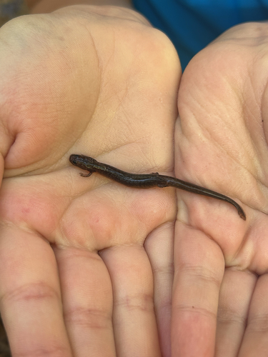
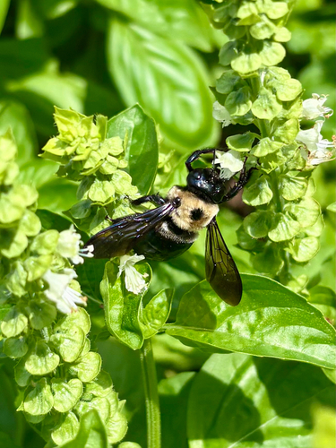
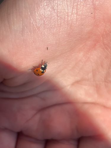
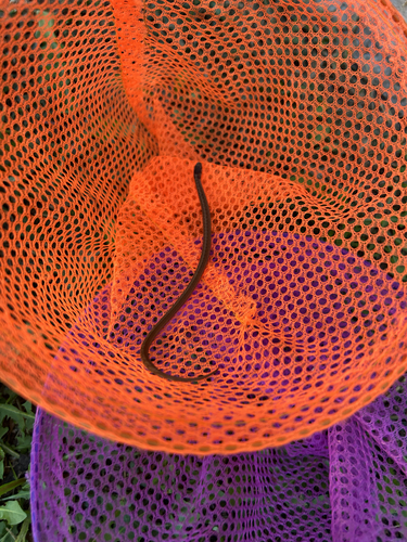
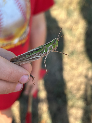
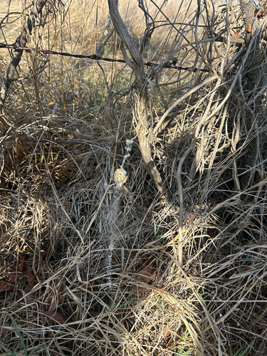
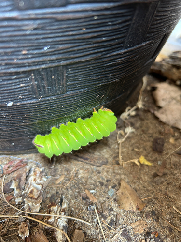
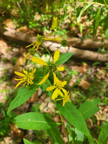
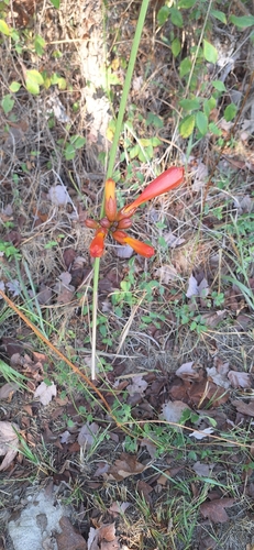
Research-grade observations from iNaturalist (within ~15 mi).
Nearest stream gauge
Events
Gallery
Sources
- • Wikipedia
- • US Census Bureau (ACS 5-year estimates)
- • NOAA National Weather Service
- • Wikidata
- • iNaturalist
- • Open-Meteo / sunrise-sunset.org
- • Wikipedia Pageviews API
- • Open Library
- • NASA EONET