Browse / United States / Oregon / Sandy
Sandy
Oregoncity

Sandy
Total population
12,854
Median home value
$470,300
Bachelor's+
Median income
$108,984
Founded
1913
Demographic figures from US Census Bureau · ACS 5-year estimates. Overview below cites Wikipedia and may reference a different year.
City facts
Facts from Wikidata (CC0).
Overview
Sandy is a city located in Clackamas County, Oregon, United States, settled c. 1853 and named after the nearby Sandy River. Located in the foothills of the Cascade Mountain Range, the city serves as the western gateway to the Mount Hood Corridor, and is located approximately 27 miles (43 km) east of Portland.
Read more on WikipediaHistory & geography
History
Sandy was founded after pioneer Sam Barlow passed through the area in 1845 and formed Barlow Road, the most widely-used final portion of the Oregon Trail. The first white people to settle the area were Francis and Lydia Revenue, 1853. The river had priorly been named the Barings River after Sir Francis Baring, 1st Baronet, an English merchant banker, by Lieutenant W.R. Broughton of the Fort Vancouver expedition on October 30, 1792. As of the 21st century, Sandy's population has increased significantly with the growth of the Portland metropolitan area. Per a 2018 study completed by Portland State University and Clackamas County, it is the second-fastest-growing city in the state, and is estimated to reach a population of 18,980 by the year 2034.
Geography
According to the United States Census Bureau, the city has a total area of , consisting almost entirely of land. Its elevation is . This region experiences warm (but not hot) and dry summers, with no average monthly temperatures above . According to the Köppen Climate Classification system, Sandy has a warm-summer Mediterranean climate, abbreviated "Csb" on climate maps.
Excerpted from the corresponding Wikipedia article (CC BY-SA).
Demographics & economy
Race & ethnicity
Source: US Census Bureau — American Community Survey, 5-year estimates.
Geography
Coordinates & boundaries from the US Census TIGER/Line shapefiles.
Climate
Current forecast
Forecast for Sandy, OR from NOAA NWS API.
Air quality
Industrial & pollution facilities
Natural hazard risk
Health (adults)
Age-adjusted prevalence estimates from CDC PLACES (latest release).
Walkability
Amenities nearby
Wildlife & biodiversity
Most-observed species
- American RobinTurdus migratorius Linnaeus, 1766 · Aves12,192
- Song SparrowMelospiza melodia (A.Wilson, 1810) · Aves11,852
- Dark-eyed JuncoJunco hyemalis (Linnaeus, 1758) · Aves10,357
- Spotted TowheePipilo maculatus Swainson, 1827 · Aves9,682
- American CrowCorvus brachyrhynchos C.L.Brehm, 1822 · Aves9,673
- Northern FlickerColaptes auratus (Linnaeus, 1758) · Aves9,501
- Black-capped ChickadeePoecile atricapillus (Linnaeus, 1766) · Aves8,902
- Anna's HummingbirdCalypte anna (R.Lesson, 1829) · Aves8,129
Citizen-science & research observations from the Global Biodiversity Information Facility (GBIF).
Schools
Largest nearby schools
- Sandy High SchoolHigh · Sandy · 1,440 students · 27.2:1 ratio
- Summit Learning CharterOther · Eagle Creek · 1,181 students · 51.3:1 ratio
- Estacada High SchoolHigh · Estacada · 539 students · 21.6:1 ratio
- River Mill Elementary SchoolElementary · Estacada · 492 students · 22.4:1 ratio
- Firwood Elementary SchoolElementary · Sandy · 479 students · 21.8:1 ratio
- Deep Creek - Damascus K-8 SchoolElementary · Damascus · 450 students · 18:1 ratio
- Clackamas River Elementary SchoolElementary · Estacada · 449 students · 22.4:1 ratio
- Cedar Ridge Middle SchoolMiddle · Sandy · 442 students · 22.1:1 ratio
Public K–12 schools within ~10 mi from Urban Institute Education Data Portal (NCES Common Core of Data, 2022).
Earthquake history
Most recent
- M 3.75 — 2026-09-0520 km E of Castle Rock, Washington
- M 2.61 — 2026-07-3118 km NE of Amboy, Washington
- M 3.18 — 2025-11-235 km SE of Amity, Oregon
- M 2.66 — 2024-08-3014 km ESE of Molalla, Oregon
- M 2.99 — 2024-01-0533 km NNE of Amboy, Washington
- M 3.09 — 2023-11-244 km WSW of Deer Island, Oregon
Events from the USGS Earthquake Catalog (global) (FDSN Event Web Service).
Photos
Sights & places nearby
Notable people from here


People born within ~10 km, from Wikidata (CC0). Click any name for their Wikipedia article.
Nearby places in Oregon
- Orient6.5 mi away
- Estacada7.6 mi away
- Damascus8.7 mi away · pop. 11,437
- Gresham11 mi away · pop. 111,500
- Fairview13.2 mi away · pop. 10,735
- Beavercreek14.2 mi away
- Johnson City15 mi away · pop. 499
- Gladstone15.7 mi away · pop. 11,977
- Oregon City16.2 mi away · pop. 37,755
- Milwaukie17.4 mi away · pop. 21,392
- Maywood Park17.8 mi away · pop. 987
- West Linn18.1 mi away · pop. 27,373
Geography & sun
Elevation, sunrise/sunset and daylight from Open-Meteo. Solar climatology from NASA POWER.
Nearby airports
Public attention
Pageview totals from the Wikimedia Pageviews API.
Books about Sandy


Search results from Open Library.
Recent natural events nearby
- Wildfire Austin Non-Stat, Clackamas, OregonWildfires · 2026-08-12 · 30 mi
- Wildfire AUSTIN, Clackamas, OregonWildfires · 2026-08-09 · 30 mi
- Wildfire 0658 ROUND BUTTE, Jefferson, OregonWildfires · 2026-08-01 · 75 mi
- Wildfire Colwash, Yakima, WashingtonWildfires · 2026-08-22 · 113 mi
- Wildfire Ruggs, Morrow, OregonWildfires · 2026-08-31 · 126 mi
- Wildfire SECOND STREET, Benton, WashingtonWildfires · 2026-09-25 · 147 mi
- Wildfire KING, Kittitas, WashingtonWildfires · 2026-08-19 · 151 mi
- Wildfire COTTONWOOD, Grant, OregonWildfires · 2026-08-06 · 151 mi
Wildfires, storms and other events from NASA EONET (last 12 months, within 250 mi).
Ground air-quality sensors
Recently spotted species
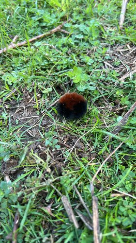
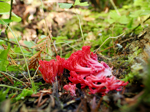
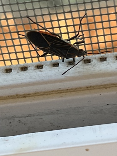
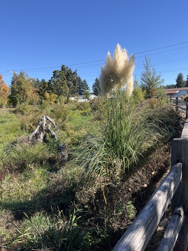
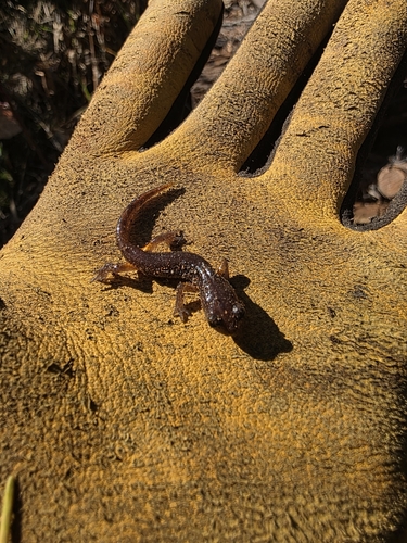
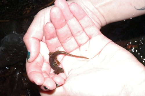
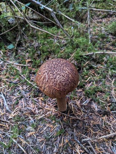
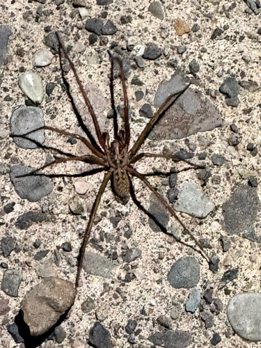
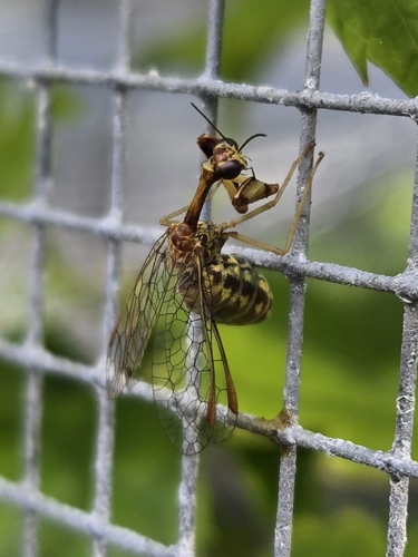
Research-grade observations from iNaturalist (within ~15 mi).
Nearest stream gauge
Events
Gallery
Sources
- • Wikipedia
- • US Census Bureau (ACS 5-year estimates)
- • NOAA National Weather Service
- • Wikidata
- • USGS Earthquake Catalog (global feed)
- • NCES via Urban Institute Education Data Portal
- • GBIF (Global Biodiversity Information Facility)
- • iNaturalist
- • CDC PLACES
- • Open-Meteo / sunrise-sunset.org
- • Wikipedia Pageviews API
- • Open Library
- • NASA EONET