Browse / United States / Oregon / Oregon City
Oregon City
Oregoncity

Oregon City
Total population
37,755
Median home value
$555,800
Bachelor's+
Median income
$97,829
Founded
1829
Demographic figures from US Census Bureau · ACS 5-year estimates. Overview below cites Wikipedia and may reference a different year.
City facts
Facts from Wikidata (CC0).
Overview
Oregon City is a city in and the county seat of Clackamas County, Oregon, United States, located on the Willamette River near the southern limits of the Portland metropolitan area. As of the 2020 census, the city population was 37,572. Established in 1829 by the Hudson's Bay Company, in 1844, it became the first U.S. city west of the Rocky Mountains to be incorporated.
Read more on WikipediaHistory & geography
History
The land was originally home to Clowwewalla, Cashhooks and the Molalla Native Americans. Known in recent decades as the site of several large paper mills on the Willamette River, the city played a significant role in the early history of the Oregon Country. It was established by Hudson's Bay Company's Dr. John McLoughlin in 1829 near the confluence of the Clackamas River with the Willamette to take advantage of the power of Willamette Falls to run a lumber mill. During the 1840s and 1850s it was the destination for those wanting to file land claims after traveling the Oregon Trail as the last stop on the trail. It was the capital of the Oregon Territory from its establishment in 1848 until 1851, and rivaled Portland for early supremacy in the area. In 1846, the city's newspaper, the Oregon Spectator, was the first American newspaper to be published west of the Rocky Mountains. Oregon City College was established in 1849 as a Baptist school, but was defunct by the 1870s. Oregon City was the site of the Beaver Coins Mint, producing the short-lived independent Oregon Territory currency in 1849. The center of the city retains part of its historic character through the preservation of houses and other buildings from the era of the city's founding. The town became the see city of the first Roman Catholic archdiocese in the western United States, when the diocese of Oregon City, established in 1846, was raised to metropolitan rank, with Archbishop François Norbert Blanchet as its ordinary. Its territory included all of the western United States. The population in the area of Oregon City declined due to the California Gold Rush. The population of nearby Portland grew, and the headquarters of the archdiocese was moved there in 1926. In 1928 the name Archdiocese of Portland…
Geography
The town is divided into upper and lower areas. The lower area is on a bench next to the Willamette River. The upper area is atop a bluff composed of Canemah basalt, which flowed about 2.5 million years ago from a vent to the southeast in the Boring Lava Field. For many years, Indian trails connected the two levels, but stairs were built in the 19th century. In 1915, the town built the water-powered Oregon City Municipal Elevator to connect the two parts, which was converted to electricity in the 1920s. In 1952, a new electric elevator was constructed with the specification that it was to be "as plain as possible and without ornament." According to the United States Census Bureau, the city has a total area of , of which is land and is water. The major waterways of Oregon City include the Willamette River, which flows along the northwest side of the city, and the Clackamas River, which merges with the larger Willamette to the north of the city. The Willamette forms the boundary between Oregon City and West Linn; the Clackamas serves as the boundary between Oregon City and Gladstone. The Willamette Falls Locks in West Linn were the first multi-lift navigational locks in the United States and are now a National Historical Site, no longer in use. The first long-distance electrical service in the United States originated in Oregon City in 1889, transmitting electricity to Portland. Oregon City has a Mediterranean climate (Köppen Csb). The Mediterranean climate regime resembles the climate of the lands in the Mediterranean Basin, parts of western North America, parts of Western and South Australia, southwestern South Africa, and parts of central Chile. The climate is characterized by hot, dry summers and cool, wet winters. The average temperature throughout the year…
Excerpted from the corresponding Wikipedia article (CC BY-SA).
Demographics & economy
Race & ethnicity
Source: US Census Bureau — American Community Survey, 5-year estimates.
Geography
Coordinates & boundaries from the US Census TIGER/Line shapefiles.
Climate
Current forecast
Forecast for Oregon City, OR from NOAA NWS API.
Air quality
Industrial & pollution facilities
Natural hazard risk
Health (adults)
Age-adjusted prevalence estimates from CDC PLACES (latest release).
Walkability
Amenities nearby
Wildlife & biodiversity
Most-observed species
- Song SparrowMelospiza melodia (A.Wilson, 1810) · Aves53,796
- American CrowCorvus brachyrhynchos C.L.Brehm, 1822 · Aves50,981
- Dark-eyed JuncoJunco hyemalis (Linnaeus, 1758) · Aves45,105
- Black-capped ChickadeePoecile atricapillus (Linnaeus, 1766) · Aves44,262
- American RobinTurdus migratorius Linnaeus, 1766 · Aves40,654
- Spotted TowheePipilo maculatus Swainson, 1827 · Aves39,359
- Anna's HummingbirdCalypte anna (R.Lesson, 1829) · Aves37,918
- Northern FlickerColaptes auratus (Linnaeus, 1758) · Aves37,423
Citizen-science & research observations from the Global Biodiversity Information Facility (GBIF).
Schools
Largest nearby schools
- Oregon City Senior High SchoolHigh · Oregon City · 1,931 students · 25.1:1 ratio
- West Linn High SchoolHigh · West Linn · 1,905 students · 23.2:1 ratio
- Canby High SchoolHigh · Canby · 1,393 students · 21.4:1 ratio
- Adrienne C. Nelson High SchoolHigh · Happy Valley · 1,382 students · 27.1:1 ratio
- Wilsonville High SchoolHigh · Wilsonville · 1,269 students · 19.8:1 ratio
- Lake Oswego Senior High SchoolHigh · Lake Oswego · 1,245 students · 19.5:1 ratio
- Lakeridge High SchoolHigh · Lake Oswego · 1,234 students · 20.2:1 ratio
- Clackamas High SchoolHigh · Clackamas · 1,224 students · 25:1 ratio
Public K–12 schools within ~10 mi from Urban Institute Education Data Portal (NCES Common Core of Data, 2022).
Earthquake history
Most recent
- M 2.61 — 2026-07-3118 km NE of Amboy, Washington
- M 3.18 — 2025-11-235 km SE of Amity, Oregon
- M 2.66 — 2024-08-3014 km ESE of Molalla, Oregon
- M 2.99 — 2024-01-0533 km NNE of Amboy, Washington
- M 3.09 — 2023-11-244 km WSW of Deer Island, Oregon
- M 2.68 — 2023-07-0211 km W of Deer Island, Oregon
Events from the USGS Earthquake Catalog (global) (FDSN Event Web Service).
Photos
Sights & places nearby
Notable people from here


People born within ~10 km, from Wikidata (CC0). Click any name for their Wikipedia article.
Nearby places in Oregon
- Gladstone3.1 mi away · pop. 11,977
- Johnson City4.4 mi away · pop. 499
- Stafford5 mi away · pop. 1,600
- Lake Oswego7.2 mi away · pop. 40,381
- Milwaukie7.3 mi away · pop. 21,392
- Dunthorpe7.6 mi away · pop. 1,875
- Barlow8.8 mi away · pop. 105
- Durham8.8 mi away · pop. 1,983
- Wilsonville8.9 mi away · pop. 26,974
- Tualatin9.2 mi away · pop. 27,763
- Damascus9.3 mi away · pop. 11,437
- Tigard10.9 mi away · pop. 56,011
Geography & sun
Elevation, sunrise/sunset and daylight from Open-Meteo. Solar climatology from NASA POWER.
Nearby airports
Public attention
Pageview totals from the Wikimedia Pageviews API.
Books about Oregon City

Search results from Open Library.
Recent natural events nearby
- Wildfire Austin Non-Stat, Clackamas, OregonWildfires · 2026-08-12 · 38 mi
- Wildfire AUSTIN, Clackamas, OregonWildfires · 2026-08-09 · 38 mi
- Wildfire 0658 ROUND BUTTE, Jefferson, OregonWildfires · 2026-08-01 · 84 mi
- Wildfire Colwash, Yakima, WashingtonWildfires · 2026-08-22 · 129 mi
- Wildfire Ruggs, Morrow, OregonWildfires · 2026-08-31 · 141 mi
- Wildfire KING, Kittitas, WashingtonWildfires · 2026-08-19 · 160 mi
- Wildfire SECOND STREET, Benton, WashingtonWildfires · 2026-09-25 · 163 mi
- Wildfire GOAT, Kittitas, WashingtonWildfires · 2026-08-22 · 164 mi
Wildfires, storms and other events from NASA EONET (last 12 months, within 250 mi).
Ground air-quality sensors
Recently spotted species
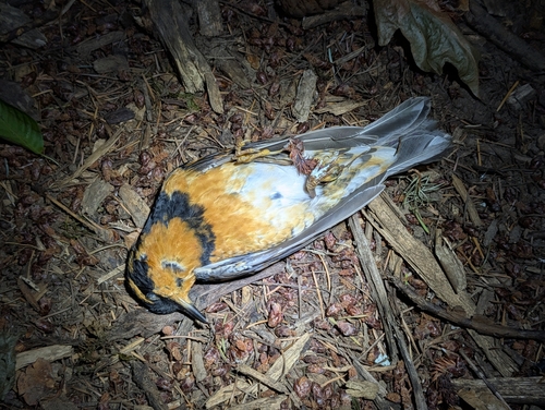
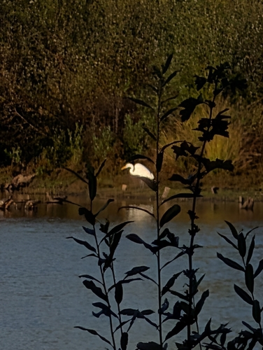
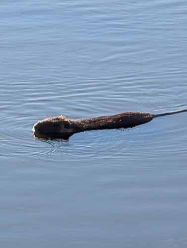
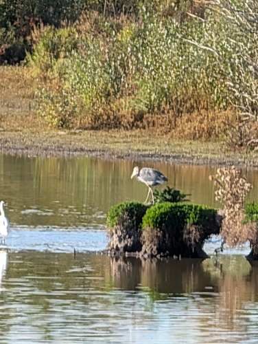

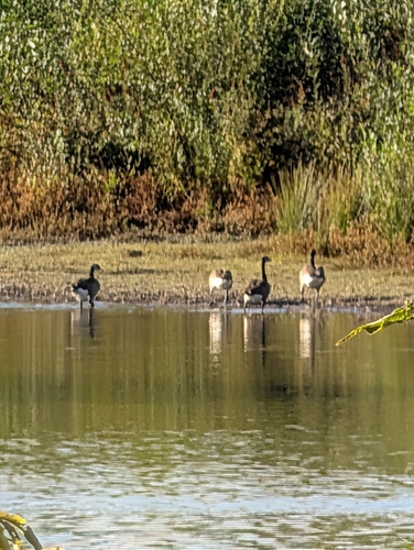
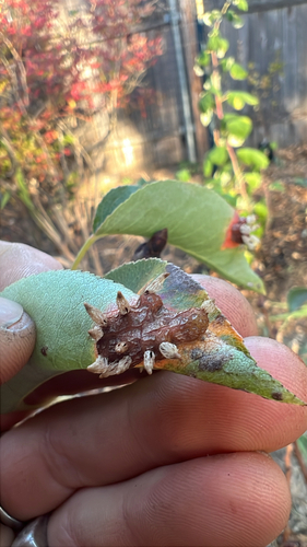
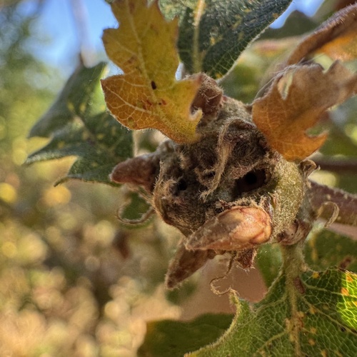
Research-grade observations from iNaturalist (within ~15 mi).
Nearest stream gauge
Events
Gallery
Sources
- • Wikipedia
- • US Census Bureau (ACS 5-year estimates)
- • NOAA National Weather Service
- • Wikidata
- • USGS Earthquake Catalog (global feed)
- • NCES via Urban Institute Education Data Portal
- • GBIF (Global Biodiversity Information Facility)
- • iNaturalist
- • CDC PLACES
- • Open-Meteo / sunrise-sunset.org
- • Wikipedia Pageviews API
- • Open Library
- • NASA EONET