Browse / United States / Oregon / Stafford
Stafford
OregonCDP

Stafford
Total population
1,600
Median home value
$1,020,100
Bachelor's+
Median income
$163,155
Demographic figures from US Census Bureau · ACS 5-year estimates. Overview below cites Wikipedia and may reference a different year.
City facts
Facts from Wikidata (CC0).
Overview
Stafford is an unincorporated community, classified by the county as a hamlet, in Clackamas County, Oregon, United States. It is a census-designated place (CDP). As of the 2020 census, Stafford had a population of 1,895. The community covers approximately 15.7 km2 located in a rough triangle south of Lake Oswego, east of Tualatin, and west of West Linn. Students in the area attend the schools of the West Linn-Wilsonville School District.
Read more on WikipediaHistory & geography
History
Stafford was named by George A. Steel, a prominent Portland pioneer, after his hometown of Stafford, Ohio, in the 1860s. The Stafford School opened in the community in 1892, and the following year the Eastside Electric Railway owned by Steel reached the area. Stafford post office operated from 1878 to 1905. Parts of the Stafford area were proposed to be added to the Portland area's urban growth boundary in 1995. Eventually were added, but later removed after a court fight that ended in 2001 at the Oregon Court of Appeals. In November 2006, the residents of Stafford voted 344–30 to form a hamlet, the second Oregon community to do so (after Beavercreek). In 1895, the Wanker family moved to the area, bought land, and built a store and tavern at the intersection of Stafford and Borland roads. The intersection came to be known as Wankers Corner. Wanker is a German surname (pronounced Wonker), but because the word "wanker" is also a slang term for "masturbator" in British English, Wankers Corner has frequently been noted on lists of unusual place names.
Excerpted from the corresponding Wikipedia article (CC BY-SA).
Demographics & economy
Race & ethnicity
Source: US Census Bureau — American Community Survey, 5-year estimates.
Geography
Coordinates & boundaries from the US Census TIGER/Line shapefiles.
Climate
Current forecast
Forecast for Stafford, OR from NOAA NWS API.
Air quality
Industrial & pollution facilities
Natural hazard risk
Health (adults)
Age-adjusted prevalence estimates from CDC PLACES (latest release).
Walkability
Amenities nearby
Wildlife & biodiversity
Most-observed species
- Song SparrowMelospiza melodia (A.Wilson, 1810) · Aves83,289
- American CrowCorvus brachyrhynchos C.L.Brehm, 1822 · Aves81,196
- Dark-eyed JuncoJunco hyemalis (Linnaeus, 1758) · Aves73,406
- Black-capped ChickadeePoecile atricapillus (Linnaeus, 1766) · Aves65,546
- American RobinTurdus migratorius Linnaeus, 1766 · Aves61,824
- Anna's HummingbirdCalypte anna (R.Lesson, 1829) · Aves59,818
- Spotted TowheePipilo maculatus Swainson, 1827 · Aves55,703
- Northern FlickerColaptes auratus (Linnaeus, 1758) · Aves55,446
Citizen-science & research observations from the Global Biodiversity Information Facility (GBIF).
Schools
Largest nearby schools
- Oregon City Senior High SchoolHigh · Oregon City · 1,931 students · 25.1:1 ratio
- West Linn High SchoolHigh · West Linn · 1,905 students · 23.2:1 ratio
- Canby High SchoolHigh · Canby · 1,393 students · 21.4:1 ratio
- Adrienne C. Nelson High SchoolHigh · Happy Valley · 1,382 students · 27.1:1 ratio
- Wilsonville High SchoolHigh · Wilsonville · 1,269 students · 19.8:1 ratio
- Lake Oswego Senior High SchoolHigh · Lake Oswego · 1,245 students · 19.5:1 ratio
- Lakeridge High SchoolHigh · Lake Oswego · 1,234 students · 20.2:1 ratio
- Clackamas High SchoolHigh · Clackamas · 1,224 students · 25:1 ratio
Public K–12 schools within ~10 mi from Urban Institute Education Data Portal (NCES Common Core of Data, 2022).
Earthquake history
Most recent
- M 3.75 — 2026-09-0520 km E of Castle Rock, Washington
- M 2.61 — 2026-07-3118 km NE of Amboy, Washington
- M 3.18 — 2025-11-235 km SE of Amity, Oregon
- M 2.66 — 2024-08-3014 km ESE of Molalla, Oregon
- M 2.99 — 2024-01-0533 km NNE of Amboy, Washington
- M 3.09 — 2023-11-244 km WSW of Deer Island, Oregon
Events from the USGS Earthquake Catalog (global) (FDSN Event Web Service).
Photos
Sights & places nearby
Notable people from here


People born within ~10 km, from Wikidata (CC0). Click any name for their Wikipedia article.
Nearby places in Oregon
- West Linn2.1 mi away · pop. 27,373
- Oak Grove2.9 mi away · pop. 16,796
- Jennings Lodge3.1 mi away
- Dunthorpe4.1 mi away
- Gladstone4.1 mi away · pop. 11,977
- Oatfield4.5 mi away
- Tualatin4.8 mi away · pop. 27,942
- Oregon City5 mi away · pop. 37,755
- Johnson City5 mi away · pop. 499
- Milwaukie5.1 mi away · pop. 21,392
- Metzger6.2 mi away
- King City6.5 mi away · pop. 5,073
Geography & sun
Elevation, sunrise/sunset and daylight from Open-Meteo. Solar climatology from NASA POWER.
Nearby airports
Public attention
Pageview totals from the Wikimedia Pageviews API.
Books about Stafford




Search results from Open Library.
Recent natural events nearby
- Wildfire Austin Non-Stat, Clackamas, OregonWildfires · 2026-08-12 · 43 mi
- Wildfire AUSTIN, Clackamas, OregonWildfires · 2026-08-09 · 43 mi
- Wildfire 0658 ROUND BUTTE, Jefferson, OregonWildfires · 2026-08-01 · 89 mi
- Wildfire Colwash, Yakima, WashingtonWildfires · 2026-08-22 · 131 mi
- Wildfire Ruggs, Morrow, OregonWildfires · 2026-08-31 · 145 mi
- Wildfire KING, Kittitas, WashingtonWildfires · 2026-08-19 · 159 mi
- Wildfire GOAT, Kittitas, WashingtonWildfires · 2026-08-22 · 163 mi
- Wildfire SECOND STREET, Benton, WashingtonWildfires · 2026-09-25 · 166 mi
Wildfires, storms and other events from NASA EONET (last 12 months, within 250 mi).
Ground air-quality sensors
Recently spotted species
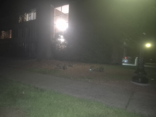
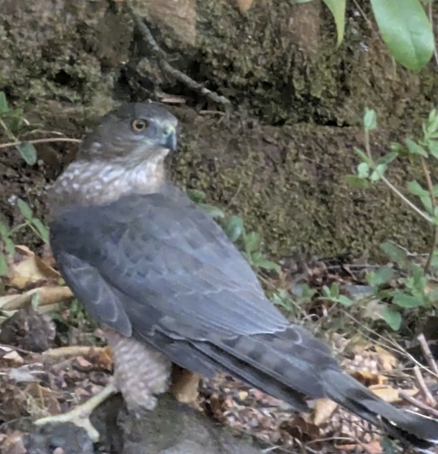
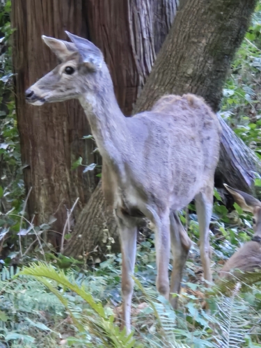
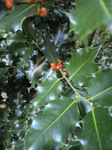
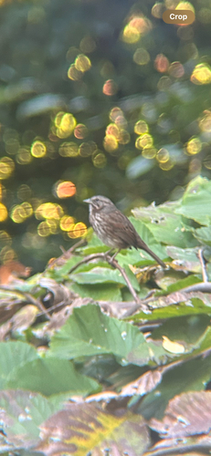
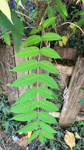
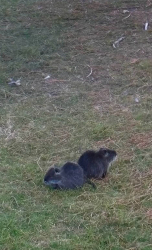
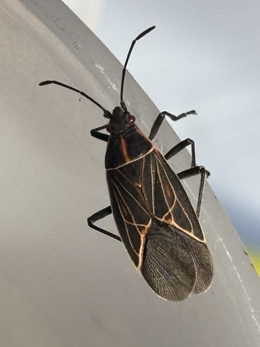
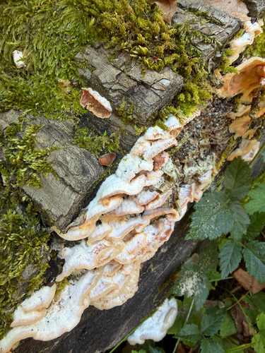
Research-grade observations from iNaturalist (within ~15 mi).
Nearest stream gauge
Events
Gallery
Sources
- • Wikipedia
- • US Census Bureau (ACS 5-year estimates)
- • NOAA National Weather Service
- • Wikidata
- • USGS Earthquake Catalog (global feed)
- • NCES via Urban Institute Education Data Portal
- • GBIF (Global Biodiversity Information Facility)
- • iNaturalist
- • CDC PLACES
- • Open-Meteo / sunrise-sunset.org
- • Wikipedia Pageviews API
- • Open Library
- • NASA EONET