Browse / Pakistan / Sindh / Orangi
Orangi
Sindhtown

Orangi
Total population
2,400,000
Air quality index
Demographic figures from Pakistan Bureau of Statistics. Overview below cites Wikipedia and may reference a different year.
City facts
Facts from Wikidata (CC0).
Overview
Orangi is a town in the western part of Karachi, Pakistan, with a population of 596,919 as of the 2023 census. Orangi was developed as a planned settlement in 1972 by the Karachi Development Authority (KDA) to provide affordable housing for lower-income households. The town consists of 13 union councils.
Read more on WikipediaHistory & geography
History
Following the Partition of India and creation of the Islamic Republic of Pakistan, a separate country for Muslims of India in 1947, a large influx of Muslim refugees from India began moving into Karachi. The Pakistani government began granting permission for refugees to settle on vacant land by 1950. Orangi Township was originally planned over by the Karachi Development Authority, and many of Karachi's squatter settlements were relocated here. The township was planned and developed with informal assistance from the city's municipal administration. Orangi did not qualify for government aid or community assistance, and the area's sanitation was extremely poor. in which the local community financed, designed and built their own low-cost sewerage system. As a result of the sense of ownership, the community maintained the sewerage system and streets itself. though the Karachi Water and Sewerage Board eventually began providing water supply to the settlement. In December 1986, Pashtun gunmen attacked the Aligarh Colony, which was home to a vulnerable population of Biharis who had recently been repatriated from Bangladesh. The municipality was described in a 1999 National Geographic article on Mumbai's Dharavi slum as the "largest shanty town in Asia." Orangi is in fact a lower-class settlement with basic amenities of life available to most of the people. Only some parts of Orangi Town can be characterised as a slum. At in size, it is "significantly less dense than most urban slums and also more structured". Ninety per cent of Orangi's streets are connected to sewage services. Ninety-six per cent of homes in Orangi have their own private latrine or toilet. Most homes in Orangi feature two or three rooms. By 2004, over 90% of households in Orangi were connected to the…
Geography
Orangi is bordered by New Karachi to the north across the Shahrah-e-Zahid Hussain, Gulberg Town to the east across the Gujjar Nala stream, Liaquatabad Town to the south, and Sindh Industrial and Trading Estate to the west. There are 13 official neighbourhoods, each with its own council, which has allowed the township to build its own sewer system. Orangi stretches out from the Khasba Hills, North Nazimabad and Paposh Nagar towards the northern parts of Karachi and covers approximately of land. The Khasba Hills forms a natural boundary between Orangi Town and North Nazimabad. The defunct City District Government constructed a road through the Khasba Hills connecting Orangi with North Nazimabad.
Excerpted from the corresponding Wikipedia article (CC BY-SA).
Geography
Coordinates & boundaries from the US Census TIGER/Line shapefiles.
Climate
10-year averages from ERA5 reanalysis (Open-Meteo).
Air quality
Current readings from Open-Meteo Air Quality API (Copernicus CAMS European reanalysis).
Walkability
Amenities nearby
Wildlife & biodiversity
Most-observed species
- Black KiteMilvus migrans (Boddaert, 1783) · Aves448
- House CrowCorvus splendens Vieillot, 1817 · Aves418
- Rock PigeonColumba livia J.F.Gmelin, 1789 · Aves323
- Common MynaAcridotheres tristis (Linnaeus, 1766) · Aves307
- House SparrowPasser domesticus (Linnaeus, 1758) · Aves306
- Common TailorbirdOrthotomus sutorius (Pennant, 1769) · Aves186
- Green Bee-eaterMerops orientalis Latham, 1801 · Aves177
- Western Reef-HeronEgretta gularis (Bosc, 1792) · Aves177
Citizen-science & research observations from the Global Biodiversity Information Facility (GBIF).
Earthquake history
Most recent
- M 4.8 — 2025-12-1538 km NW of Gadani, Pakistan
- M 4.2 — 2025-10-0153 km SW of Gadani, Pakistan
- M 4.6 — 2025-03-3155 km ESE of Uthal, Pakistan
- M 4.5 — 2024-06-0387 km SW of Karachi, Pakistan
- M 3.9 — 2021-12-0827 km N of Gharo, Pakistan
- M 4.5 — 2020-11-0216 km WSW of Gadani, Pakistan
Events from the USGS Earthquake Catalog (global) (FDSN Event Web Service).
Photos
Sights & places nearby
Notable people from here


People born within ~10 km, from Wikidata (CC0). Click any name for their Wikipedia article.
Nearby places in Sindh
Geography & sun
Elevation, sunrise/sunset and daylight from Open-Meteo. Solar climatology from NASA POWER.
Nearby airports
Public attention
Pageview totals from the Wikimedia Pageviews API.
Books about this place
Recent natural events nearby
Ground air-quality sensors
Recently spotted species
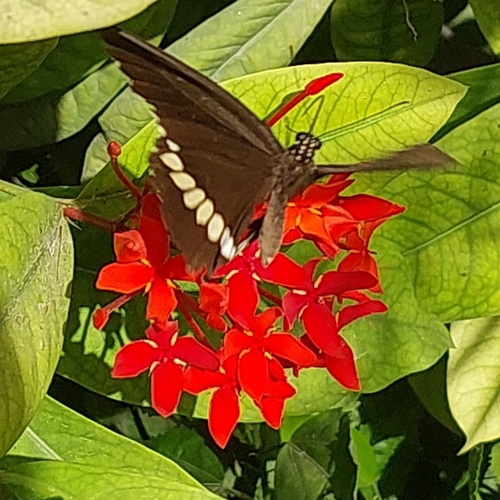
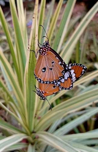
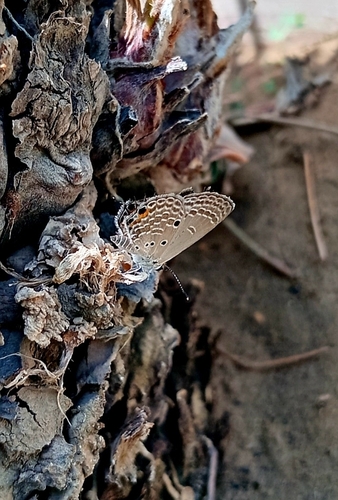
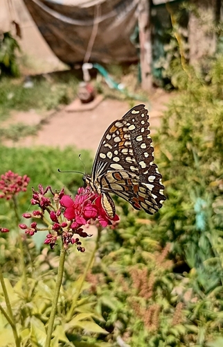
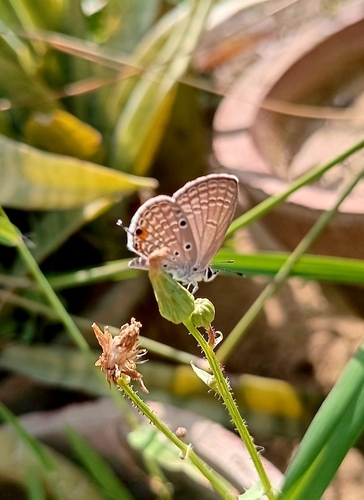
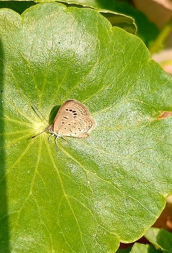
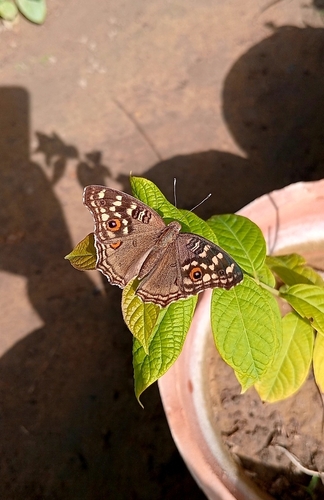
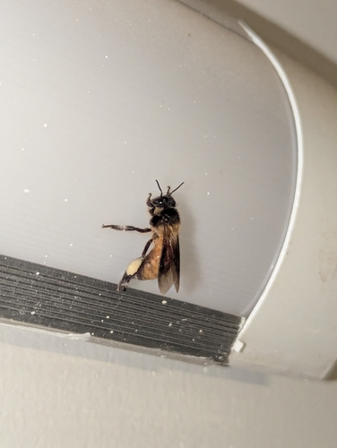
Research-grade observations from iNaturalist (within ~15 mi).
Events
Gallery
Geotagged photos within ~6 miles of Orangi, from Wikimedia Commons contributors.
.jpg) 0.4 mi
0.4 mi 0.5 mi
 0.5 mi
.jpg) 0.5 mi
0.5 mi 0.5 mi
.jpg) 0.5 mi
0.5 mi.jpg) 0.5 mi
0.5 mi 0.6 mi
 0.9 mi
.jpg) 0.9 mi
0.9 mi 1 mi
1 mi 1 mi
1 mi 1.3 mi
.jpg) 1.4 mi
1.4 mi.jpg) 1.6 mi
1.6 mi.jpg) 1.6 mi
1.6 mi.jpg) 1.6 mi
1.6 mi_(nabamb)_2019-09-21_02H59M20S945.jpg) 1.8 mi
1.8 mi_(nabamb)_2019-09-21_02H59M21S843.jpg) 1.8 mi
1.8 mi_(nabamb)_2019-09-21_02H59M22S983.jpg) 1.8 mi
1.8 mi_(nabamb)_2019-09-21_02H59M24S982.jpg) 1.8 mi
1.8 mi_(nabamb)_2019-09-21_02H59M26S889.jpg) 1.8 mi
1.8 mi_(nabamb)_2019-09-21_02H59M28S940.jpg) 1.8 mi
1.8 mi_(nabamb)_2019-09-21_02H59M17S849.jpg) 1.9 mi
1.9 miPhotos via Wikimedia Commons — see each image page for license & attribution.
Sources
- • Wikipedia
- • Open-Meteo (ERA5 reanalysis)
- • Wikimedia Commons
- • Wikidata
- • Open-Meteo Air Quality (CAMS)
- • USGS Earthquake Catalog (global feed)
- • GBIF (Global Biodiversity Information Facility)
- • iNaturalist
- • Open-Elevation
- • Open-Meteo / sunrise-sunset.org
- • Wikipedia Pageviews API
- • Wikidata SPARQL (CC0) — population, area, elevation, inception, head of government, Commons image