Browse / Poland / Subcarpathia / Ropczyce
Ropczyce
Subcarpathiatown

Ropczyce
Total population
15,815
Demographic figures from Statistics Poland (GUS). Overview below cites Wikipedia and may reference a different year.
City facts
Overview
Ropczyce is a town in the Subcarpathian Voivodeship in south-eastern Poland, situated in the valley of the Wielopolka River. The town has a population of 15,098. and is the seat of Ropczyce-Sędziszów County.
Read more on WikipediaHistory & geography
History
The first reference to Ropczyce comes from a document of 1252, which confirmed the donation of the land by the brothers Klemens and Marek Gryf to a Cistercian Abbey in Szczyrzyc near Limanowa. Around this time Ropczyce was damaged by a Tatar raid. Ropczyce was severely damaged during a Tatar raid in 1504. To help the town and citizens recover from this tragedy, king Alexander Jagiellon gave all the citizens a 10-year tax exemption from 1504 to 1514 In the 15th and 16th centuries Ropczyce became a major centre in the manufacture of canvas goods. Ropczyce's "Golden Age" was but a distant memory in the 17th and 18th centuries – these were times of wars and invasions. The town went into decline and life got a lot harder for the townspeople. In 1605 over half of the town was destroyed in a great fire. Fifty years later, Ropczyce was hit by The Plague. Ropczyce was plundered by Swedish troops in 1655 and then devastated in 1657 by the army of George II Rákóczi, the Prince of Transylvania. In 1669 the Parish Church was destroyed by fire. On 14 July 1772, following the First Partition of Poland, Ropczyce found itself in the Austrian province of Galicia, part of the Habsburg monarchy in the Austro-Hungarian Kingdom of Galicia and Lodomeria. Ropczyce was first located in the administrative area (or cyrkuł) of Pilzno and in the Sandomierz district. In 1775 the administrative areas in Galicia were reorganised and Ropczyce was reallocated to the Tarnów cyrkuł. Fortunately for Ropczyce, as a 'Royal town', it was given virtually autonomous administration. The position of 'town advocate' was replaced by the new position of mayor. However, during these times the whole region was systematically Germanised, from the system of administration, local by-laws, education to everyday life.…
Geography
Situated in the Subcarpathian Voivodeship, it is the capital of Ropczyce-Sędziszów County. Ropczyce is located east of Kraków and west of Rzeszów. The coordinates for Ropczyce: Latitude 50°0500' and Longitude 21°6167. In DMS or Degree, Minutes, & Seconds; Latitude 50°2'60N and Longitude is 21°37'0E. Its elevation is above sea level. The time zone for Poland is UTC+1.
Excerpted from the corresponding Wikipedia article (CC BY-SA).
Geography
Coordinates & boundaries from the US Census TIGER/Line shapefiles.
Climate
Air quality
Walkability
Amenities nearby
Wildlife & biodiversity
Most-observed species
- Common BuzzardButeo buteo (Linnaeus, 1758) · Aves374
- MallardAnas platyrhynchos Linnaeus, 1758 · Aves372
- Common Wood-PigeonColumba palumbus Linnaeus, 1758 · Aves324
- Great TitParus major Linnaeus, 1758 · Aves313
- Gray/Purple HeronArdea cinerea Linnaeus, 1758 · Aves300
- YellowhammerEmberiza citrinella Linnaeus, 1758 · Aves297
- Barn SwallowHirundo rustica Linnaeus, 1758 · Aves284
- European StarlingSturnus vulgaris Linnaeus, 1758 · Aves277
Citizen-science & research observations from the Global Biodiversity Information Facility (GBIF).
Earthquake history
Events from the USGS Earthquake Catalog (global) (FDSN Event Web Service).
Photos
Sights & places nearby
Notable people from here
Nearby places in Subcarpathia
- Brzezówka3.1 mi away · pop. 1,138
- Góra Ropczycka3.2 mi away · pop. 1,800
- Skrzyszów3.6 mi away · pop. 1,050
- Sielec5.6 mi away
- Boreczek5.6 mi away
- Stobierna5.7 mi away · pop. 1,500
- Niedźwiada5.9 mi away
- Ocieka6.1 mi away · pop. 1,200
- Wiercany6.8 mi away
- Kozłów7.2 mi away · pop. 550
- Wiśniowa7.4 mi away · pop. 870
- Nawsie7.6 mi away
Geography & sun
Elevation, sunrise/sunset and daylight from Open-Meteo. Solar climatology from NASA POWER.
Nearby airports
Public attention
Pageview totals from the Wikimedia Pageviews API.
Books about this place
Recent natural events nearby
Ground air-quality sensors
Recently spotted species
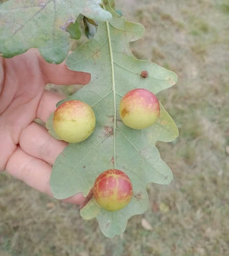
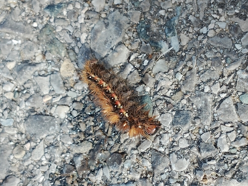
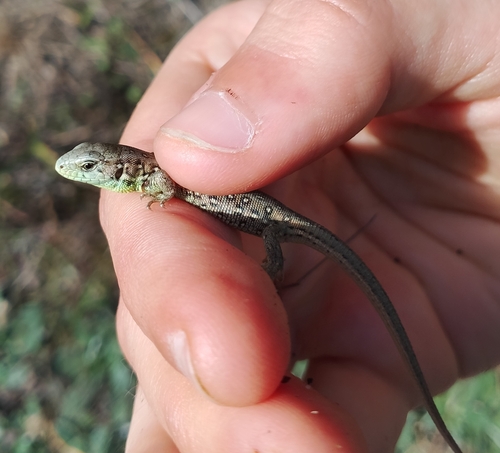
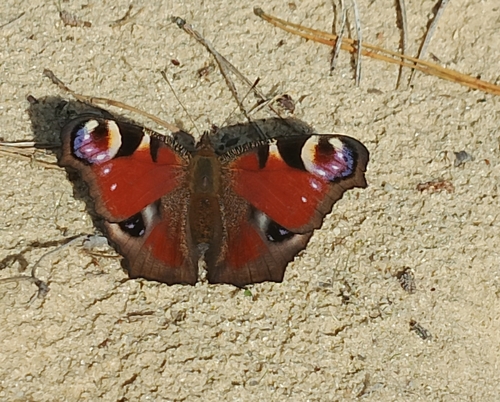
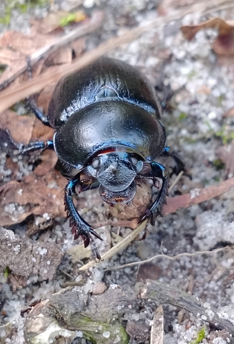
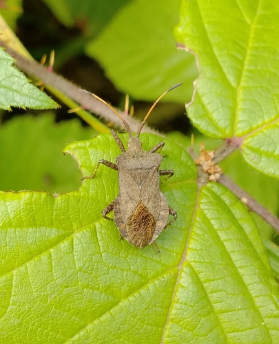
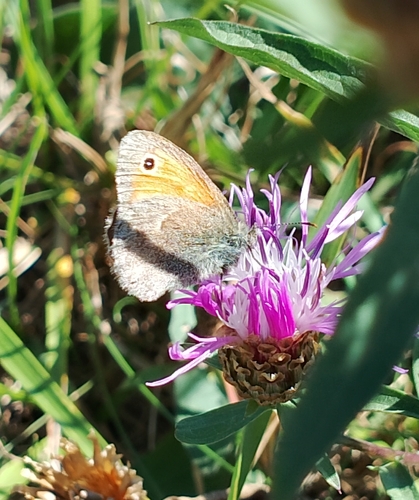
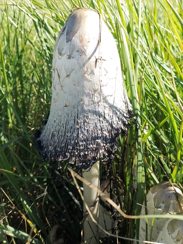
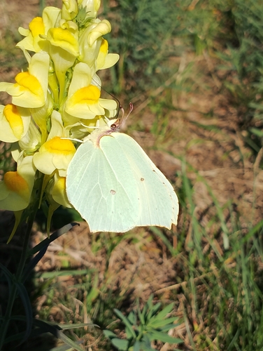
Research-grade observations from iNaturalist (within ~15 mi).
Events
Gallery
Official Identifiers
GUS — Statistics Poland
- SIMC code
- 0974825
- Population (Wikidata)
- 15,815
- Wikidata
- Q336375
SIMC place ID via Wikidata P4046
Sources
- • Wikipedia
- • USGS Earthquake Catalog (global feed)
- • GBIF (Global Biodiversity Information Facility)
- • iNaturalist
- • Open-Meteo / sunrise-sunset.org
- • Wikipedia Pageviews API
- • GUS — Statistics Poland — SIMC place ID via Wikidata P4046