Browse / United States / Puerto Rico / Cayey
Cayey
Puerto Ricozona urbana

Cayey
Total population
14,655
Median home value
$135,800
Bachelor's+
Median income
$21,897
Founded
1773
Demographic figures from US Census Bureau · ACS 5-year estimates. Overview below cites Wikipedia and may reference a different year.
City facts
Sister cities
Facts from Wikidata (CC0).
Overview
Cayey, officially Cayey de Muesas, is a mountain town and municipality in central Puerto Rico located on the Sierra de Cayey within the Central Mountain range, north east of Salinas and north of Guayama; south of Cidra and Caguas; east of Aibonito and west of San Lorenzo. Cayey is spread over 21 barrios plus Cayey Pueblo. It is part of the San Juan-Caguas-Guaynabo Metropolitan Statistical Area.
Read more on WikipediaHistory & geography
History
Cayey was founded on August 17, 1773, by Juan Mata Vázquez, who became its first mayor. It is popularly said that Cayey derives its name from the Taíno word for "a place of waters". It was named in honor of Miguel de Muesas, the then governor of Puerto Rico. The town is located in a valley nestled between Puerto Rico's Cordillera Central mountain range and the Sierra de Cayey at roughly the midpoint of routes PR-1 and PR-52. The routes lead to a popular drive that provides panoramic views of the island from its highest points. Puerto Rico was ceded by Spain in the aftermath of the Spanish–American War under the terms of the Treaty of Paris of 1898 and became a territory of the United States. In 1899, the United States Department of War conducted a census of Puerto Rico finding that the population of Cayey was 14,442. An education base began in the early to mid-1950s when the Interamerican University opened a branch in Cayey providing teacher training through a night class scheme. In 1967 the University of Puerto Rico opened a campus in the former Henry Barracks Military Reservation, and in the early 1980s El Turabo University, subsidiary of the Ana G. Mendez conglomerate opened a campus in the old tobacco factory at the entrance of town. The Interamerican University will be opening a Graduate campus in front of the main town square (downtown), and there are conversations with a foreign educational concern to open a technology campus using the buildings left over by the Gordonshire Knitting Mills. There are three major private schools: Radians School, the long established Colegio de Nuestra Senora de la Merced and La Milagrosa School. Cayey's health care base expanded in the mid-1960s with the Mennonite Medical Center and a Municipal Hospital along with laboratories,…
Geography
Cayey is located in a valley surrounded by the Sierra de Cayey, a branching mountain range of the Cordillera Central where the Carite Forest Reserve is located, and the main ranges of the Cordillera Central to the west. Because of its location, Cayey is known for its mountains, its cool weather and its misty mornings, especially in winter. During Spanish colonial rule, Spanish soldiers assigned to Puerto Rico were sent to Cayey. Its cool weather resembled the weather of Spain and soldiers could become acclimated to the tropical weather. In winter, it is not unusual for the temperature to drop into the . The Carite Forest Reserve *Rivers are: Río Grande de Loíza, Río Guavate, Río Jájome, Río de la Plata and Río Maton. Cayey's climate is humid, rainy and mild compared to lower-elevation areas of the island, the area of the town is nearly high, so the climate is subtropical high. In summer average high Temperatures are around to and to in winter, and low around to in summer and to in winter. The record maximum temperature is and minimum . The average annual rainfall is 100 inches (2,540 mm) and maximum rainfall record in 24 hours is 20.87 inches (530 mm) of rain. The golden coquí (Eleutherodactylus jasperi; Spanish: coquí dorado) is a rare and possibly extinct leptodactylid frog species [https://www.britannica.com/science/endemic-species endemic] to Puerto Rico. Native to the municipality of Cayey, golden coquís have only been found in areas of dense bromeliad growth in the Sierra de Cayey between 2,123 and 2,575 feet (647 and 785 meters) above sea level. They get their name from the song the male coquis sing at night. The golden coqui is the smallest of the coqui frogs in Puerto Rico. Mature adult coquis are roughly the size of a dime.…
Excerpted from the corresponding Wikipedia article (CC BY-SA).
Demographics & economy
Race & ethnicity
Source: US Census Bureau — American Community Survey, 5-year estimates.
Geography
Coordinates & boundaries from the US Census TIGER/Line shapefiles.
Climate
Air quality
Industrial & pollution facilities
Natural hazard risk
Health (adults)
Walkability
Amenities nearby
Wildlife & biodiversity
Schools
Earthquake history
Photos
Sights & places nearby
Notable people from here


People born within ~10 km, from Wikidata (CC0). Click any name for their Wikipedia article.
Nearby places in Puerto Rico
Geography & sun
Elevation, sunrise/sunset and daylight from Open-Meteo. Solar climatology from NASA POWER.
Nearby airports
Public attention
Pageview totals from the Wikimedia Pageviews API.
Books about Cayey


Search results from Open Library.
Recent natural events nearby
Ground air-quality sensors
Recently spotted species
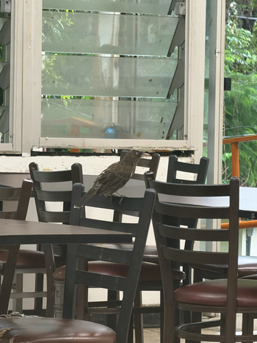
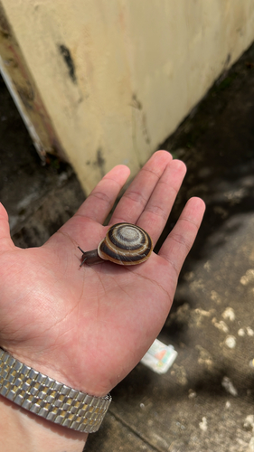
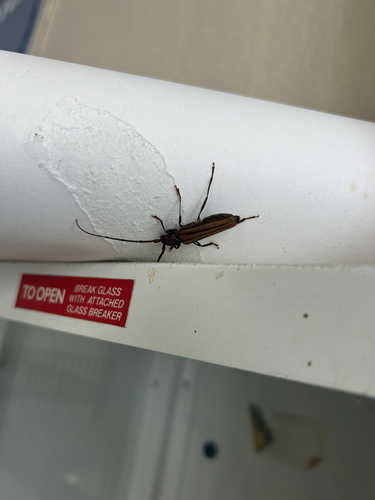
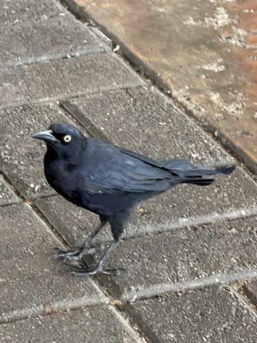
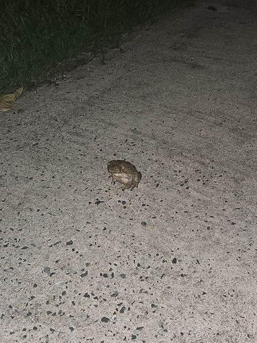
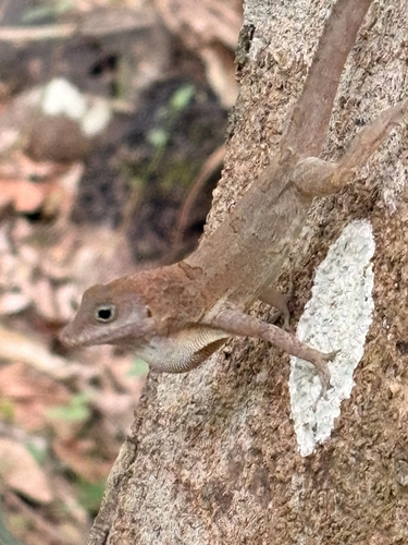
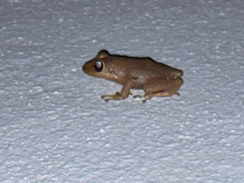
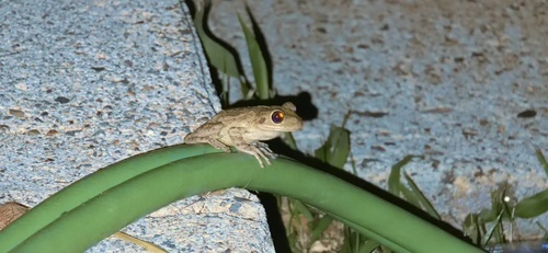
Research-grade observations from iNaturalist (within ~15 mi).
Nearest stream gauge
Live readings from USGS NWIS · measured 2026-09-18 11:30 UTC.
Events
Gallery
Sources
- • Wikipedia
- • US Census Bureau (ACS 5-year estimates)
- • Wikidata
- • USGS NWIS (water data)
- • iNaturalist
- • Open-Meteo / sunrise-sunset.org
- • Wikipedia Pageviews API
- • Open Library