Browse / United States / Puerto Rico / Ponce
Ponce
Puerto Ricozona urbana

Ponce
Total population
101,024
Median home value
$125,300
Bachelor's+
Median income
$22,061
Founded
1692
Demographic figures from US Census Bureau · ACS 5-year estimates. Overview below cites Wikipedia and may reference a different year.
City facts
Sister cities
Facts from Wikidata (CC0).
Overview
Ponce is a city and a municipality on the southern coast of Puerto Rico. The most populated city outside the San Juan metropolitan area, Ponce was founded on August 12, 1692 and is named after Juan Ponce de León y Loayza, the great-grandson of Spanish conquistador Juan Ponce de León. Ponce is often referred to as La Perla del Sur, La Ciudad Señorial, and La Ciudad de las Quenepas.
Read more on WikipediaHistory & geography
History
The region of what is now Ponce belonged to the Taíno Guaynia region, which stretched along the southern coast of Puerto Rico. Agüeybaná, a cacique who led the region, was among those who greeted Spanish conquistador Juan Ponce de León when he came to the island in 1508. Archaeological findings have identified four sites within the municipality of Ponce with archaeological significance: Canas, Tibes, Caracoles, and El Bronce. During the first years of the colonization, Spanish families started settling around the Jacaguas River, in the south of the island. For security reasons, these families moved to the banks of the Rio Portugués, then called Baramaya. Starting around 1646 the whole area from the Rio Portugués to the Bay of Guayanilla was called Ponce. In 1670, a small chapel was raised in the middle of the small settlement and dedicated in honor of Our Lady of Guadalupe. Among its earliest settlers were Juan Ponce de León y Loayza, and the Portuguese Don Pedro Rodríguez de Guzmán, from nearby San Germán. On September 17, 1692, the King of Spain Carlos II issued a Cédula Real (Royal Permit) converting the chapel into a parish, and in so doing officially recognizing the small settlement as a hamlet. It is believed that Juan Ponce de León y Loayza, Juan Ponce de León's great-grandson, was instrumental in obtaining the royal permit to formalize the founding of the hamlet. Captains Enrique Salazar and Miguel del Toro were also instrumental. The city is named after Juan Ponce de León y Loayza, the great-grandson of Spanish conquistador Juan Ponce de León. In the early 18th century Don Antonio Abad Rodriguez Berrios built a small chapel under the name of San Antonio Abad. The area would later receive the name of San Antón, a historically important part of modern Ponce.…
Geography
The Municipality of Ponce sits on the Southern Coastal Plain region of the Puerto Rico, on the shores of the Caribbean Sea. It is bordered by the municipalities of Adjuntas, Utuado, Jayuya, Peñuelas, and Juana Díaz. Ponce is a large municipality, with only Arecibo larger in land area in Puerto Rico. In terms of physical features, the municipality occupies a roughly rectangular area in south-central portion of the Island of approximately wide (east-to-west) by long (north-to-south). It has a surface area of . The main physiographic features of the municipality of Ponce are: (1) the mountainous interior containing the headwaters of the main river systems, (2) an upper plain, (3) a range of predominantly east-west trending limestone hills, (4) a coastal plain, and (5) a coastal flat. The northern two-thirds of the municipality consists of the mountainous interior, with the southern third divided between hills, coastal plains, and the coastal flat. Ponce's municipal territory reaches the central mountain range to the north and the Caribbean Sea to the south. Geographically speaking, the southern area of the territory is part of the Ponce-Patillas alluvial plain subsector and the southern coastal plain, which were created by the consolidation of the valleys of the southern side of the central mountain range and the Cayey mountain range. The central area of the municipality is part of the semi-arid southern hills. These two regions are classified as being the driest on the island. The northern part of the municipality is considered to be within the rainy western mountains. Barrio Anón is home to Cerro Maravilla, a peak that at is Puerto Rico's fourth highest peak. Nineteen barrios comprise the rural areas of the municipality, and the topology of their lands varies from…
Excerpted from the corresponding Wikipedia article (CC BY-SA).
Demographics & economy
Race & ethnicity
Source: US Census Bureau — American Community Survey, 5-year estimates.
Geography
Coordinates & boundaries from the US Census TIGER/Line shapefiles.
Climate
Current forecast
Forecast for Ponce, PR from NOAA NWS API.
Air quality
Industrial & pollution facilities
Natural hazard risk
Health (adults)
Walkability
Amenities nearby
Wildlife & biodiversity
Most-observed species
- Greater Antillean GrackleQuiscalus niger (Boddaert, 1783) · Aves1,562
- Gray KingbirdTyrannus dominicensis (Gmelin, 1788) · Aves1,493
- Turkey VultureCathartes aura (Linnaeus, 1758) · Aves1,316
- White-winged DoveZenaida asiatica (Linnaeus, 1758) · Aves1,312
- BananaquitCoereba flaveola (Linnaeus, 1758) · Aves1,271
- Brown PelicanPelecanus occidentalis Linnaeus, 1766 · Aves961
- Northern MockingbirdMimus polyglottos (Linnaeus, 1758) · Aves887
- Great EgretArdea alba Linnaeus, 1758 · Aves810
Citizen-science & research observations from the Global Biodiversity Information Facility (GBIF).
Schools
Largest nearby schools
- BERNARDINO CORDERO BERNARDHigh · PONCE · 1,172 students · 12.7:1 ratio
- PONCE HIGH SCHOOLHigh · PONCE · 557 students · 13:1 ratio
- SUPERIOR JARDINES DE PONCEHigh · PONCE · 519 students · 14.8:1 ratio
- HERMINIA GARCIAElementary · PONCE · 472 students · 14.3:1 ratio
- FERNANDO LUIS MALAVE OLIVERAElementary · PONCE · 424 students · 9.6:1 ratio
- ANGELA CORDERO BERNARDElementary · PONCE · 407 students · 12.7:1 ratio
- JUAN CUEVAS ABOYElementary · PONCE · 406 students · 16.2:1 ratio
- SUPERIOR JUAN SERRALLESHigh · PONCE · 404 students · 16.2:1 ratio
Public K–12 schools within ~10 mi from Urban Institute Education Data Portal (NCES Common Core of Data, 2022).
Earthquake history
Most recent
- M 2.66 — 2026-10-151 km SSE of Maria Antonia, Puerto Rico
- M 2.98 — 2026-10-1526 km SE of Emajagua, Puerto Rico
- M 3.1 — 2026-10-1422 km NNE of Brenas, Puerto Rico
- M 2.84 — 2026-10-1411 km W of Mayagüez, Puerto Rico
- M 2.83 — 2026-10-137 km NNE of Isabela, Puerto Rico
- M 2.72 — 2026-10-136 km NE of Isabela, Puerto Rico
Events from the USGS Earthquake Catalog (global) (FDSN Event Web Service).
Photos
Sights & places nearby
Notable people from here


People born within ~10 km, from Wikidata (CC0). Click any name for their Wikipedia article.
Nearby places in Puerto Rico
- Calzada3.9 mi away
- La Yuca5.2 mi away · pop. 257
- Tallaboa5.5 mi away
- Cerrillos Hoyos5.8 mi away · pop. 495
- Capitanejo5.9 mi away · pop. 3,215
- Aguilita6.2 mi away
- Tallaboa Alta6.2 mi away
- Monte Verde6.8 mi away
- Luis Lloréns Torres7.5 mi away
- Peñuelas7.6 mi away · pop. 5,208
- Juana Díaz8.7 mi away · pop. 8,071
- Piedra Aguza8.8 mi away
Geography & sun
Elevation, sunrise/sunset and daylight from Open-Meteo. Solar climatology from NASA POWER.
Nearby airports
Public attention
Pageview totals from the Wikimedia Pageviews API.
Books about Ponce

Search results from Open Library.
Recent natural events nearby
Ground air-quality sensors
Recently spotted species
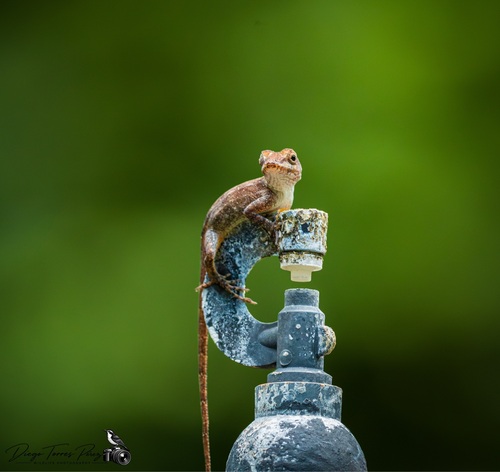
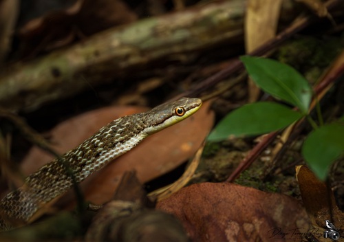
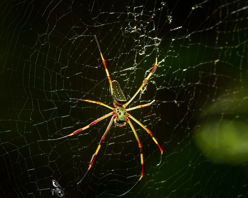
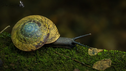
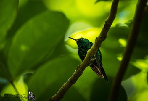
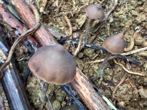
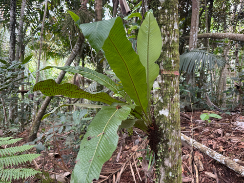
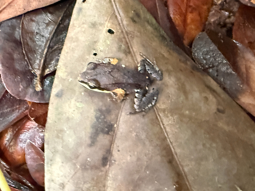
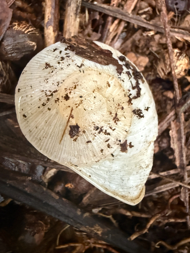
Research-grade observations from iNaturalist (within ~15 mi).
Nearest stream gauge
Live readings from USGS NWIS · measured 2026-10-16 12:45 UTC.
Events
Gallery
Sources
- • Wikipedia
- • US Census Bureau (ACS 5-year estimates)
- • NOAA National Weather Service
- • Wikidata
- • USGS Earthquake Catalog (global feed)
- • USGS NWIS (water data)
- • NCES via Urban Institute Education Data Portal
- • GBIF (Global Biodiversity Information Facility)
- • iNaturalist
- • Open-Meteo / sunrise-sunset.org
- • Wikipedia Pageviews API
- • Open Library