Browse / Portugal / Coimbra / Coimbra
Coimbra
Coimbracity

Coimbra
Total population
105,842
Demographic figures from INE Portugal. Overview below cites Wikipedia and may reference a different year.
City facts
Sister cities
Facts from Wikidata (CC0).
Overview
Coimbra, officially the City of Coimbra, is a city and a municipality in Portugal. The population of the municipality at the 2021 census was 140,796, in an area of around 319.40 square kilometres (123.3 sq mi). It is the fourth-largest metropolitan area in Portugal after Lisbon, Porto, and Braga, and it is the largest city of the district of Coimbra and the Central Region, and about 460,000 people live in its intermunicipal community.
Read more on WikipediaHistory & geography
History
The city, located on a hill by the Mondego River, was called Aeminium in Roman times. The Romans founded the civitas of Aeminium in this place at the time of Augustus (63 BC – AD 14), which came under the protection of nearby Conímbriga (in Condeixa-a-Nova), some to the south. The Roman city was encircled by a wall, and followed an orthogonal plan, with the cardo maximus and decumanus maximus crossing at the Forum. An aqueduct existed, the remains of which were incorporated into a latter medieval renovation. Aeminium fell under the influence, administratively, of the larger city of Conímbriga, until the latter was sacked by the Sueves and Visigoths between 465-8 and abandoned. It became the seat of a diocesis, replacing Conímbriga. Although Conímbriga had been administratively important, Aeminium affirmed its position by being situated at the confluence of the north-south traffic that connected the Roman Bracara Augusta (Roman name of Braga) and Olisipo (Roman name of Lisbon) with its waterway, which enabled connections with the interior and coast. The limestone table on which the settlement grew has a dominant position overlooking the Mondego, circled by fertile lands irrigated by its waters. Vestiges of this early history include the cryptoporticus of the former Rom Ataces, in order to show his gratitude had the picture of his new wife placed in a vase, with a serpent on one side and a lion walking towards her on the other. Those were the insignias of Ataces (lion) and Hermeric (serpent). Cindazunda had her eyes lifted up the sky and her hands raised as if thanking the Eternal for having been the medium between the father and the husband and having united with bonds of peace and friendship the serpent and the lion, up until that moment, enemies. As the walls and…
Geography
One of the nation's most important crossroads, Coimbra was historically at a junction between Braga and Lisbon, and its river access (the Mondego flows through the municipality) provided a route between the interior communities and the coastal towns (including the seaside city of Figueira da Foz, west of Coimbra). The historic city of Coimbra is located centrally within the municipality, connected to Lisbon () and Porto () by the IC2, IP3 and A1 motorways. The municipality is circled by several of its neighbouring municipalities in the Região de Coimbra, which include Penacova (in the northeast), Vila Nova de Poiares (to the east), Miranda do Corvo (to the southeast), Condeixa-a-Nova (to the south and southwest), Montemor-o-Velho (to the west), Cantanhede (to the northwest) and Mealhada (in the north and northeast). Just outside the municipality, there are also several picturesque mountain towns such as Lousã and Penacova, while spa towns and villages, such as Luso, Buçaco and Curia are commonplace. Although it ceased serving as the capital of Portugal in the 13th century, Coimbra retains considerable importance as the centre of the former Beira province, now designated the Centro region. It is considered alongside Braga one of the two most important regional centres in Portugal outside the Lisbon and Portos metropoles, the centre for the whole middle region of the country. With a dense urban grid, the municipality is known primarily for the city of Coimbra, itself famous for its monuments, churches, libraries, museums, parks, nightlife, healthcare and shopping facilities. Above all, its cultural life, oriented around the University of Coimbra, has historically attracted the nation's notable writers, artists, academics and aristocracy, securing its reputation as the…
Excerpted from the corresponding Wikipedia article (CC BY-SA).
Geography
Coordinates & boundaries from the US Census TIGER/Line shapefiles.
Climate
Air quality
Walkability
Amenities nearby
Wildlife & biodiversity
Most-observed species
- Eurasian BlackbirdTurdus merula Linnaeus, 1758 · Aves1,965
- European RobinErithacus rubecula (Linnaeus, 1758) · Aves1,735
- House SparrowPasser domesticus (Linnaeus, 1758) · Aves1,716
- Silver wattle, Blue wattle, MimosaAcacia dealbata Link · Magnoliopsida1,486
- Eurasian BlackcapSylvia atricapilla (Linnaeus, 1758) · Aves1,426
- Carrion CrowCorvus corone Linnaeus, 1758 · Aves1,392
- European GreenfinchChloris chloris (Linnaeus, 1758) · Aves1,314
- European SerinSerinus serinus (Linnaeus, 1766) · Aves1,311
Citizen-science & research observations from the Global Biodiversity Information Facility (GBIF).
Earthquake history
Most recent
- M 2.6 — 2020-04-1911 km ENE of Pombal, Portugal
- M 3.6 — 2017-02-014 km WSW of Porto de Mós, Portugal
- M 3.9 — 2005-12-011 km ESE of Soure, Portugal
- M 2.6 — 2005-07-0210 km N of Atalaia, Portugal
- M 2.6 — 2004-05-121 km E of Sandim, Portugal
- M 2.7 — 2002-04-1513 km E of Macieira de Cambra, Portugal
Events from the USGS Earthquake Catalog (global) (FDSN Event Web Service).
Photos
Sights & places nearby
Notable people from here


People born within ~10 km, from Wikidata (CC0). Click any name for their Wikipedia article.
Nearby places in Coimbra
Geography & sun
Elevation, sunrise/sunset and daylight from Open-Meteo. Solar climatology from NASA POWER.
Nearby airports
Public attention
Pageview totals from the Wikimedia Pageviews API.
Books about Coimbra


Search results from Open Library.
Recent natural events nearby
Ground air-quality sensors
Recently spotted species
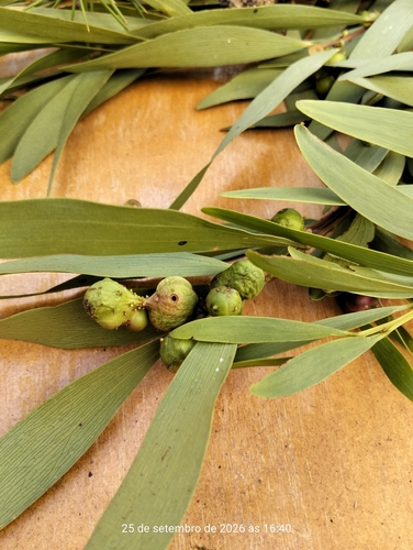
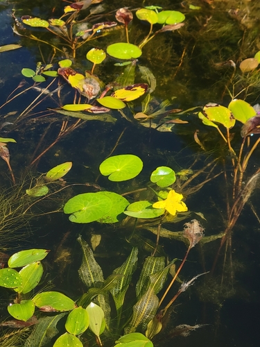
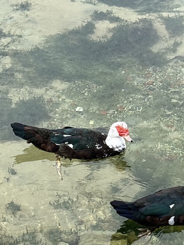
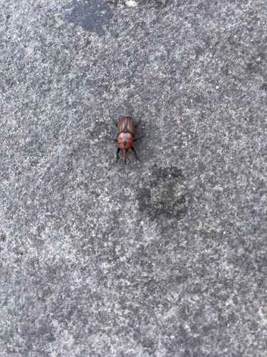
Research-grade observations from iNaturalist (within ~15 mi).
Events
Gallery
Geotagged photos within ~6 miles of Coimbra, from Wikimedia Commons contributors.

.jpg)

.jpg)
.jpg)
.jpg)
.jpg)
.jpg)
.jpg)
.jpg)
.jpg)
.jpg)
.jpg)
.jpg)
.jpg)
.jpg)
.jpg)
.jpg)
.jpg)
.jpg)
.jpg)


Photos via Wikimedia Commons — see each image page for license & attribution.
Sources
- • Wikipedia
- • Wikimedia Commons
- • Wikidata
- • USGS Earthquake Catalog (global feed)
- • GBIF (Global Biodiversity Information Facility)
- • iNaturalist
- • Open-Meteo / sunrise-sunset.org
- • Wikipedia Pageviews API
- • Open Library
- • Wikidata SPARQL (CC0) — population, area, elevation, inception, head of government, Commons image