Browse / Portugal / Madeira / Quinta Grande
Quinta Grande
Madeiravillage

Quinta Grande
Total population
2,250
Demographic figures from INE Portugal. Overview below cites Wikipedia and may reference a different year.
City facts
Facts from Wikidata (CC0).
Overview
Quinta Grande, created on 24 July 1848, is one of the five civil parishes that constitute the municipality of Câmara de Lobos in the archipelago of Madeira, Portugal. The population as of 2011 was 2,099, in an area of 4.14 square kilometres (1.60 sq mi). The community is primarily oriented around agriculture, although it has become an important tourist stop in Madeira, due to the Cabo Girão, which is considered the highest promontory in Europe at 580 metres (1,900 ft).
Read more on WikipediaHistory & geography
Geography
Quinta Grande is situated within a river-valley and buttressed between the parishes of Campanário and Câmara de Lobos in the southwest coast of the island. The southeast part of the parish (along the coast) comprises Cabo Girão, a high escarpment and sheer cliff face. The residential and commercial buildings of this parish are located primarily along the river course, and, with forest, natural vegetation and terraced fields occupying the interior of the parish. The western part of the parish, although occupied by homes is a forested ridge and the eastern ridge is occupied by communication towers, radio and television facilities. Some vineyards and farmlands surround the parish to the north and east, and mostly concentrate on the cultivation of grapes for the production of Madeira Wine.
Excerpted from the corresponding Wikipedia article (CC BY-SA).
Geography
Coordinates & boundaries from the US Census TIGER/Line shapefiles.
Climate
Air quality
Walkability
Amenities nearby
Wildlife & biodiversity
Most-observed species
- Madeira ChaffinchFringilla maderensis Sharpe, 1888 · Aves5,010
- Eurasian BlackbirdTurdus merula Linnaeus, 1758 · Aves3,890
- Madeira Wall LizardTeira dugesii (Milne-Edwards, 1829) · Squamata3,344
- Eurasian KestrelFalco tinnunculus Linnaeus, 1758 · Aves3,257
- Eurasian BlackcapSylvia atricapilla (Linnaeus, 1758) · Aves3,019
- Island CanarySerinus canaria (Linnaeus, 1758) · Aves2,814
- Yellow-legged GullLarus michahellis J.F.Naumann, 1840 · Aves2,708
- Madeira FirecrestRegulus madeirensis Harcourt, 1851 · Aves2,626
Citizen-science & research observations from the Global Biodiversity Information Facility (GBIF).
Earthquake history
Most recent
- M 4 — 2025-09-2438 km E of Caniçal, Portugal
- M 4.4 — 2022-04-0915 km SSE of Caniço, Portugal
- M 4.9 — 2022-02-16Madeira Islands, Portugal region
- M 3.8 — 2020-03-1546 km S of Caniço, Portugal
- M 5.3 — 2020-03-0727 km S of Caniço, Portugal
- M 4.1 — 2008-07-2157 km SE of Caniçal, Portugal
Events from the USGS Earthquake Catalog (global) (FDSN Event Web Service).
Photos
Sights & places nearby
Notable people from here
Nearby places in Madeira
- Fontainhas1 mi away
- Garachico1.3 mi away
- Campanário1.3 mi away · pop. 4,582
- Estreito de Câmara de Lobos1.9 mi away · pop. 10,269
- Jardim da Serra2 mi away · pop. 3,311
- Lugar da Serra2.3 mi away
- Câmara de Lobos2.3 mi away · pop. 15,227
- Boa Morte2.3 mi away
- São Paulo2.5 mi away
- Eira do Mourão2.7 mi away
- Ribeira Brava3.2 mi away
- Espigão3.2 mi away
Geography & sun
Elevation, sunrise/sunset and daylight from Open-Meteo. Solar climatology from NASA POWER.
Nearby airports
Public attention
Pageview totals from the Wikimedia Pageviews API.
Books about this place
Recent natural events nearby
Ground air-quality sensors
Recently spotted species
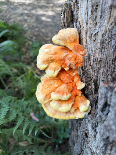
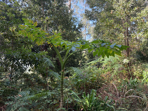
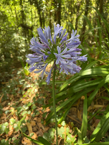
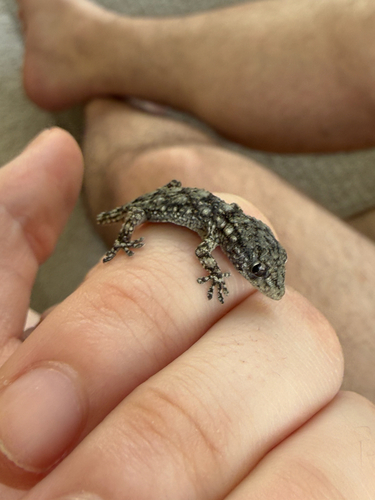
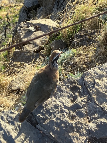
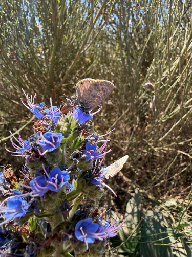
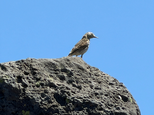
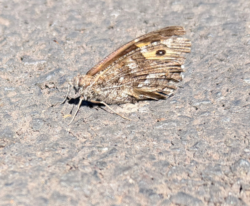
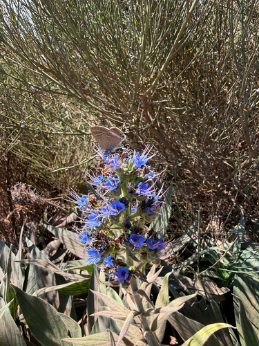
Research-grade observations from iNaturalist (within ~15 mi).
Events
Gallery
Official Identifiers
INE Portugal
- INE ID
- 310204
- Population (Wikidata)
- 1,939
- Wikidata
- Q2652528
INE ID via Wikidata P6324
Sources
- • Wikipedia
- • Wikidata
- • USGS Earthquake Catalog (global feed)
- • GBIF (Global Biodiversity Information Facility)
- • iNaturalist
- • Open-Meteo / sunrise-sunset.org
- • Wikipedia Pageviews API
- • Wikidata SPARQL (CC0) — population, area, elevation, inception, head of government, Commons image
- • INE Portugal — INE ID via Wikidata P6324