Browse / Portugal / Madeira / Ribeira Brava
Ribeira Brava
Madeiratown

Ribeira Brava
Demographic figures from INE Portugal. Overview below cites Wikipedia and may reference a different year.
City facts
Overview
Ribeira Brava is a municipality on the island of Madeira, in the Portuguese Autonomous Region of Madeira. It is located along the southern coast, and is west of Câmara de Lobos and the regional capital Funchal, south of São Vicente, and east of Ponta do Sol. The population in 2011 was 13,375, in an area of 65.41 km2.
Read more on WikipediaHistory & geography
Geography
The municipality's namesake, the Ribeira Brava ravine and river valley extends from the slopes of the west-central mountains of Madeira. Its waters provide the primary sources of drinking-water (a small reservoir collects surface run-off) to the area and electricity to the island of Madeira. Approximately ten tributaries feed this river, whose course ends in the Serra de Água and which much later empties into the Atlantic along the village's coast. The primary urban agglomerations are the five civil parishes, constituted with their own local government. They include: * Campanário * Ribeira Brava * Serra de Água * Tabua
Excerpted from the corresponding Wikipedia article (CC BY-SA).
Geography
Coordinates & boundaries from the US Census TIGER/Line shapefiles.
Climate
Air quality
Walkability
Amenities nearby
Wildlife & biodiversity
Earthquake history
Photos
Sights & places nearby
Notable people from here


People born within ~10 km, from Wikidata (CC0). Click any name for their Wikipedia article.
Nearby places in Madeira
Geography & sun
Elevation, sunrise/sunset and daylight from Open-Meteo. Solar climatology from NASA POWER.
Nearby airports
Public attention
Pageview totals from the Wikimedia Pageviews API.
Books about this place
Recent natural events nearby
Ground air-quality sensors
Recently spotted species
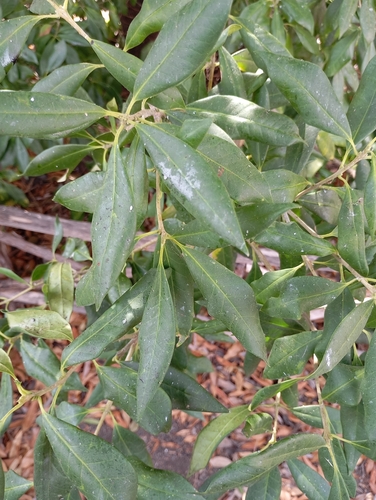
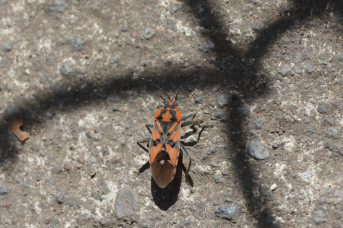
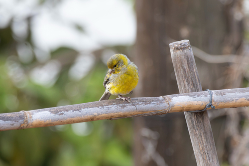
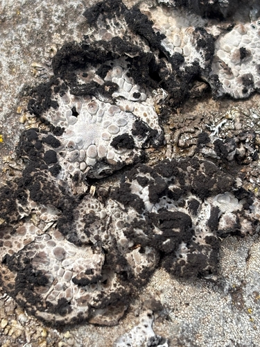
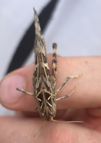
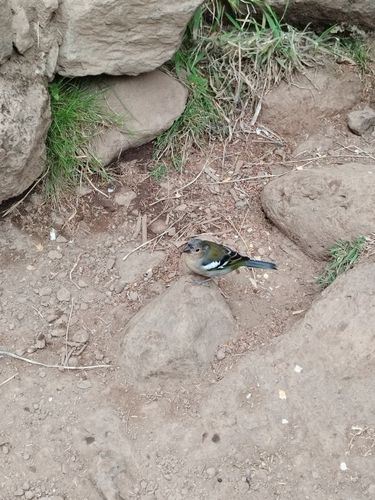
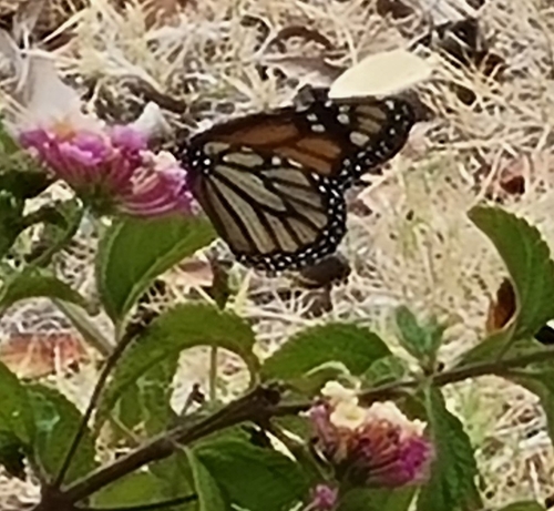
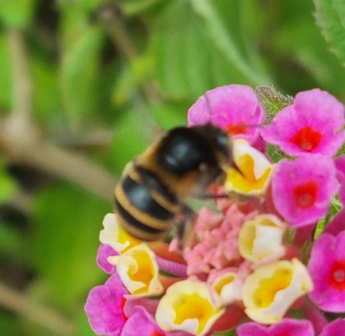
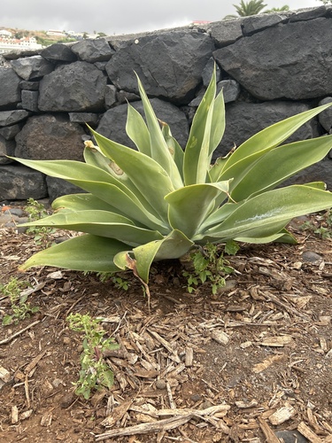
Research-grade observations from iNaturalist (within ~15 mi).
Events
Gallery
Sources
- • Wikipedia
- • Wikidata
- • iNaturalist
- • Open-Meteo / sunrise-sunset.org
- • Wikipedia Pageviews API