Browse / United States / Rhode Island / Woonsocket
Woonsocket
Rhode Islandcity

Woonsocket
Total population
43,521
Median home value
$311,000
Bachelor's+
Median income
$61,059
Founded
1867
Demographic figures from US Census Bureau · ACS 5-year estimates. Overview below cites Wikipedia and may reference a different year.
City facts
Facts from Wikidata (CC0).
Overview
Woonsocket, is a city in Providence County, Rhode Island, United States. The population was 43,240 at the 2020 census, making it the sixth largest city in the state. Being Rhode Island's northernmost city, Woonsocket lies directly south of the Massachusetts state line and constitutes part of both the Providence metropolitan area and the larger Greater Boston Combined Statistical Area.
Read more on WikipediaHistory & geography
History
Before the arrival of European settlers in northern Rhode Island during the 17th century, today's Woonsocket region was inhabited by three Native American tribes: the Nipmuc (Cowesett), Wampanoag, and Narragansett. In 1661, the English theologian Roger Williams purchased the area from the "Coweset and Nipmucks", and in a letter referred to modern day Woonsocket as Niswosakit. Other possible derivations of the name include several Nipmuc geographic names from nearby Massachusetts. These include Woonksechocksett, from Worcester County meaning "fox country", and Wannashowatuckqut, also from Worcester County, meaning "at the fork of the river". Another theory proposes that the city was named after Woonsocket Hill in neighboring North Smithfield. Woonsocket Falls Village was founded in the 1820s. Its fortunes expanded as the Industrial Revolution developed in nearby Pawtucket. With the Blackstone River providing ample water power, the region became a prime location for textile mills. In 1831 Edward Harris built his first textile mill in Woonsocket. The town of Woonsocket was not established until 1867, when three villages in the town of Cumberland, namely Woonsocket Falls, Social and Jenckesville, officially became the town of Woonsocket. In 1871, three additional industrial villages from Smithfield—Hamlet, Bernon, and Globe—were added to the town, establishing its present boundaries. Woonsocket was incorporated as city in 1888. The growth of industries and associated jobs attracted numerous immigrants, predominantly Québecois and French-Canadians from other provinces. When the Société Saint-Jean-Baptiste d'Holyoke organized a national cultural and benefit society in 1899, the Union Saint-Jean-Baptiste d'Amérique, Woonsocket, with its proximity to several industrial…
Geography
According to the United States Census Bureau, the city has a total area of , of which is land and (3.14%) is water. Woonsocket is drained by the Blackstone River. Adjacent communities include Blackstone and Bellingham, Massachusetts, along with Cumberland and North Smithfield, Rhode Island. Woonsocket has a strong humid continental climate (Köppen Dfa) with four distinct seasons. Being influenced by both the sea and the interior during winter, diurnal temperature variation is relatively high, with days most often being above freezing before severe frosts hit at night.
Excerpted from the corresponding Wikipedia article (CC BY-SA).
Demographics & economy
Race & ethnicity
Source: US Census Bureau — American Community Survey, 5-year estimates.
Geography
Coordinates & boundaries from the US Census TIGER/Line shapefiles.
Climate
Air quality
Industrial & pollution facilities
Natural hazard risk
Health (adults)
Walkability
Amenities nearby
Wildlife & biodiversity
Most-observed species
- Black-capped ChickadeePoecile atricapillus (Linnaeus, 1766) · Aves18,594
- Blue JayCyanocitta cristata (Linnaeus, 1758) · Aves17,843
- Tufted TitmouseBaeolophus bicolor (Linnaeus, 1766) · Aves16,960
- Northern CardinalCardinalis cardinalis (Linnaeus, 1758) · Aves16,826
- American RobinTurdus migratorius Linnaeus, 1766 · Aves16,554
- Downy WoodpeckerDryobates pubescens (Linnaeus, 1766) · Aves13,929
- Song SparrowMelospiza melodia (A.Wilson, 1810) · Aves13,571
- Mourning DoveZenaida macroura (Linnaeus, 1758) · Aves13,546
Citizen-science & research observations from the Global Biodiversity Information Facility (GBIF).
Schools
Earthquake history
Most recent
- M 3.6 — 2020-11-0810 km S of Bliss Corner, Massachusetts
- M 2.6 — 2015-01-132 km E of Wauregan, Connecticut
- M 3.3 — 2015-01-120 km NE of Wauregan, Connecticut
- M 2.5 — 2007-10-192 km WSW of Littleton Common, Massachusetts
- M 2.5 — 2005-11-174 km S of Plymouth, Massachusetts
- M 2.8 — 2002-09-282 km N of Wilton, New Hampshire
Events from the USGS Earthquake Catalog (global) (FDSN Event Web Service).
Photos
Sights & places nearby
Notable people from here


People born within ~10 km, from Wikidata (CC0). Click any name for their Wikipedia article.
Nearby places in Rhode Island
- Cumberland Hill2.8 mi away · pop. 8,648
- Valley Falls7.8 mi away · pop. 12,657
- Greenville8.8 mi away
- Harmony9 mi away · pop. 1,006
- Harrisville9.4 mi away · pop. 1,767
- Central Falls9.5 mi away · pop. 22,701
- Chepachet10.4 mi away
- Pawtucket10.9 mi away · pop. 75,604
- Pascoag11 mi away
- Providence13 mi away · pop. 194,710
- East Providence15.7 mi away · pop. 47,281
- Cranston16 mi away · pop. 84,445
Geography & sun
Nearby airports
Public attention
Books about this place
Recent natural events nearby
Ground air-quality sensors
Recently spotted species
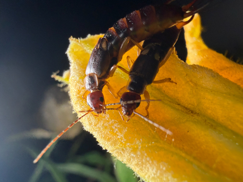
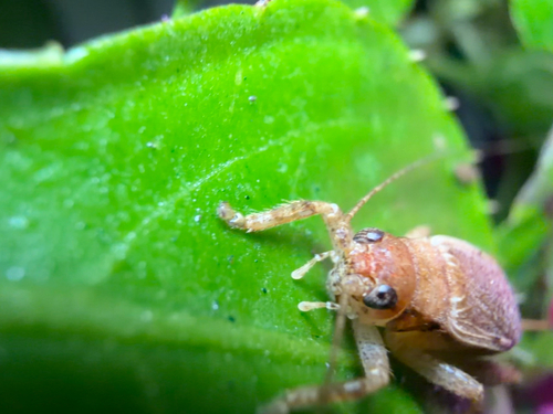
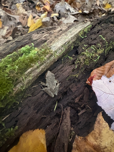
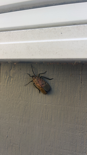
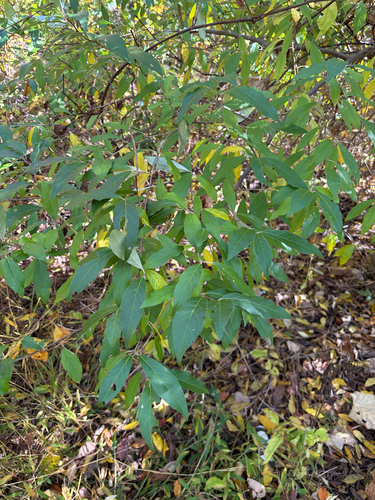
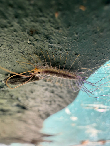
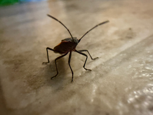
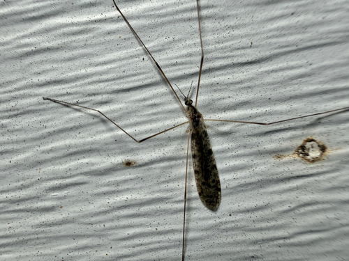
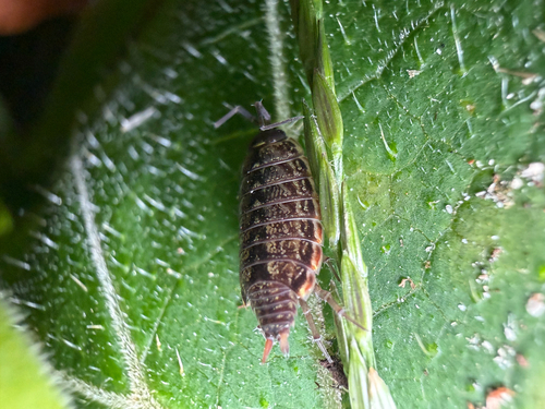
Research-grade observations from iNaturalist (within ~15 mi).
Nearest stream gauge
Events
Gallery
Sources
- • Wikipedia
- • US Census Bureau (ACS 5-year estimates)
- • Wikidata
- • USGS Earthquake Catalog (global feed)
- • GBIF (Global Biodiversity Information Facility)
- • iNaturalist