Browse / Rwanda / Southern / Nyamagabe
Nyamagabe
Southerntown
Air quality index
Demographic figures from NISR Rwanda. Overview below cites Wikipedia and may reference a different year.
City facts
Overview
Set in Southern, Rwanda, Nyamagabe is recorded in open geodata as a town. Up-to-date population figures for this locality are not available in the open datasets we monitor. Coordinates of -2.472°, 29.583° situate Nyamagabe in the equatorial zone of the southern hemisphere. The location receives about 1,842 kWh/m² of solar irradiance per year and sunshine for roughly 72% of daylight hours. Climatically, locations at this latitude tend to experience hot and humid year-round with little seasonal temperature variation. Open-data panels below dive into population trends, climate normals, environmental indicators and nearby places.
Summary composed automatically from structured open data on this page. See our Terms for details.
History & geography
Geography
Coordinates & boundaries from the US Census TIGER/Line shapefiles.
Climate
Air quality
Current readings from Open-Meteo Air Quality API (Copernicus CAMS European reanalysis).
Walkability
Amenities nearby
Wildlife & biodiversity
Most-observed species
- Chubb's CisticolaCisticola chubbi Sharpe, 1892 · Aves521
- Common BulbulPycnonotus barbatus (Desfontaines, 1789) · Aves516
- Streaky SeedeaterCrithagra striolata (Rüppell, 1840) · Aves511
- Pied CrowCorvus albus Statius Muller, 1776 · Aves485
- Augur BuzzardButeo augur (Ruppell, 1836) · Aves453
- Black KiteMilvus migrans (Boddaert, 1783) · Aves432
- African StonechatSaxicola torquatus (Linnaeus, 1766) · Aves423
- Regal SunbirdCinnyris regius Reichenow, 1893 · Aves404
Citizen-science & research observations from the Global Biodiversity Information Facility (GBIF).
Earthquake history
Most recent
- M 4.4 — 2025-11-0110 km ESE of Cyangugu, Rwanda
- M 4.3 — 2025-04-0527 km W of Kibuye, Rwanda
- M 4.5 — 2025-01-0419 km W of Bubanza, Burundi
- M 4.5 — 2023-09-2416 km NNW of Nzega, Rwanda
- M 4.4 — 2023-07-0734 km N of Cyangugu, Rwanda
- M 4.5 — 2021-09-0737 km N of Cyangugu, Rwanda
Events from the USGS Earthquake Catalog (global) (FDSN Event Web Service).
Photos
Sights & places nearby
Notable people from here


People born within ~10 km, from Wikidata (CC0). Click any name for their Wikipedia article.
Nearby places in Southern
Geography & sun
Elevation, sunrise/sunset and daylight from Open-Meteo. Solar climatology from NASA POWER.
Nearby airports
Public attention
Books about this place
Recent natural events nearby
Ground air-quality sensors
Recently spotted species
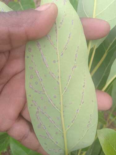
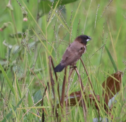
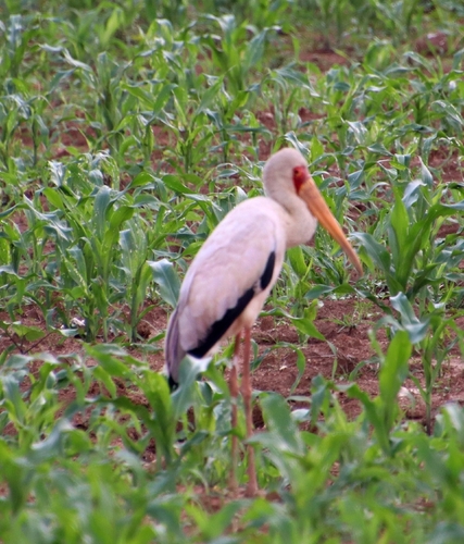
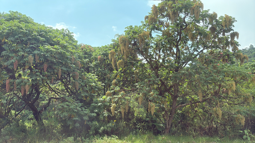
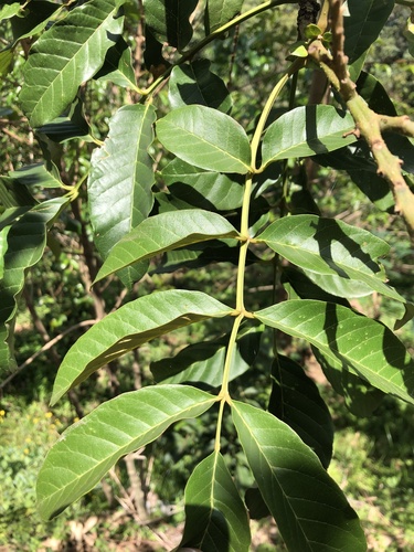
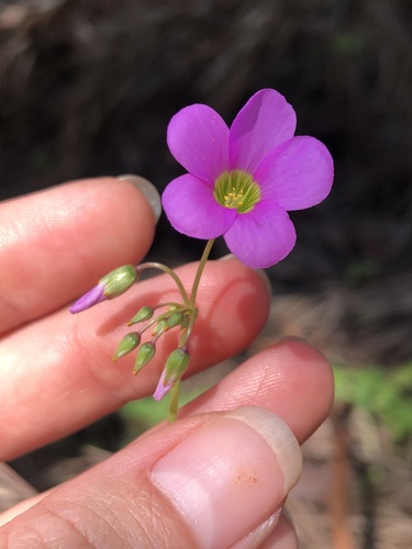
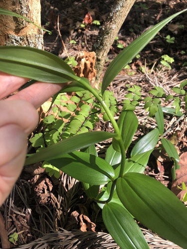
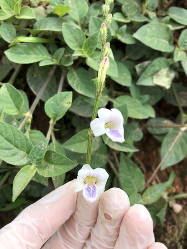
Research-grade observations from iNaturalist (within ~15 mi).
Events
Gallery
Sources
- • Wikidata
- • Open-Meteo Air Quality (CAMS)
- • USGS Earthquake Catalog (global feed)
- • GBIF (Global Biodiversity Information Facility)
- • iNaturalist
- • Open-Meteo / sunrise-sunset.org