Browse / Sudan / Khartoum / Khartoum
Khartoum
Khartoumcity

Khartoum
Total population
2,682,431
Air quality index
Demographic figures from Central Bureau of Statistics (Sudan). Overview below cites Wikipedia and may reference a different year.
City facts
Sister cities
Facts from Wikidata (CC0).
Overview
Khartoum, also spelled Khartum, is the capital city of Sudan as well as Khartoum State. With an estimated population of 7.1 million people, Greater Khartoum is the largest urban area in Sudan.
Read more on WikipediaHistory & geography
History
In 1821, Khartoum was established north of the ancient city of Soba, by Isma'il Kamil Pasha, the third son of Egypt's ruler, Muhammad Ali Pasha, who had just incorporated Sudan into his realm. Originally, Khartoum served as an outpost for the Egyptian Army. Egypt shifted the seat of the colonial government from Wad Madani to Khartoum in 1823, which became a permanent settlement and underwent rapid development in the next decades. With its elevation to capital status, Khartoum quickly grew into a regional center of trade, serving as a rest area on the caravan route from Ethiopia to Egypt, but also becoming a major focal point for the slave trade. A significant change took place in 1854, when most of the city was destroyed by heavy rains and floods. It was rebuilt with houses made out of mud and stones, replacing those made out of thatch and straw. Khartoum also became the seat of several European consulates and the Apostolic Vicariate of Central Africa. European pressure and influence forced Egypt to close the city's public slave market in 1854, although slaves continued to be sold and trafficked in large numbers, specifically from the Blue Nile region and the Nuba Mountains, as well as down the White Nile (the Dinka and Shilluk territories). According to the British explorer Samuel Baker, who visited Khartoum in 1862, slavery was the industry "that kept Khartoum going as a bustling town". On 13 March 1884, troops loyal to the Mahdi Muhammad Ahmad began the siege of Khartoum against the Egyptian garrison led by the British General Charles George Gordon. Despite being fortified by trenches and a wall connecting the Blue and White Niles, the city was conquered by the Mahdists on 26 January 1885 and the entire garrison was annihilated. Many of the inhabitants were…
Geography
Khartoum is located at the confluence of the Blue Nile and the White Nile. Khartoum is relatively flat, at elevation , as the Nile flows northeast past Omdurman to Shendi, at elevation about away. Khartoum features a hot desert climate (Köppen BWh) with a dry season occurring during winter, typical of the Saharo-Sahelian zone, which marks the progressive passage between the Sahara Desert's vast arid areas and the Sahel's vast semi-arid areas. The climate is extremely dry for most of the year, with about eight months when average rainfall is lower than . The very long dry season is itself divided into a warm, very dry season between November and February, as well as a very hot, dry season between March and May. During this part of the year, hot, dry continental trade winds from deserts, such as the harmattan, sweep over the region; the weather is stable and very dry. The very irregular, very brief, rainy season lasts about 1 month as the maximum rainfall is recorded in August, with about . The rainy season is characterized by a seasonal reverse of wind regimes, when the Intertropical Convergence Zone goes northerly. Average annual rainfall is very low, with only of precipitation. Khartoum records on average six days with or more and 19 days with or more of rainfall. The highest temperatures occur during two periods in the year: the first at the late dry season, when average high temperatures consistently exceed from April to June, and the second at the early dry season, when average high temperatures exceed in September and October. Temperatures cool off somewhat during the night, with Khartoum's lowest average low temperature of the year, in January, just above . Khartoum is one of the hottest major cities on Earth, with annual mean temperatures hovering…
Excerpted from the corresponding Wikipedia article (CC BY-SA).
Geography
Coordinates & boundaries from the US Census TIGER/Line shapefiles.
Climate
10-year averages from ERA5 reanalysis (Open-Meteo).
Air quality
Current readings from Open-Meteo Air Quality API (Copernicus CAMS European reanalysis).
Walkability
Amenities nearby
Wildlife & biodiversity
Most-observed species
- House SparrowPasser domesticus (Linnaeus, 1758) · Aves63
- Laughing DoveSpilopelia senegalensis (Linnaeus, 1766) · Aves54
- Little Egret/Western Reef-HeronEgretta garzetta (Linnaeus, 1766) · Aves44
- Black KiteMilvus migrans (Boddaert, 1783) · Aves43
- Little Bee-eaterMerops pusillus P.L.S.Müller, 1776 · Aves37
- Pied KingfisherCeryle rudis (Linnaeus, 1758) · Aves37
- Spur-winged LapwingVanellus spinosus (Linnaeus, 1758) · Aves37
- Cattle EgretBubulcus ibis (Linnaeus, 1758) · Aves36
Citizen-science & research observations from the Global Biodiversity Information Facility (GBIF).
Earthquake history
Events from the USGS Earthquake Catalog (global) (FDSN Event Web Service).
Photos
Sights & places nearby
Notable people from here


People born within ~10 km, from Wikidata (CC0). Click any name for their Wikipedia article.
Nearby places in Khartoum
- East Nile7.8 mi away
- Al 'Aylafun15.5 mi away
- Al-Khojlab17.1 mi away
- Arak Salih21.2 mi away
- Hillat Ash Sheikh Abu Qoron21.2 mi away
- Um Dawaban22 mi away
- Jebel Aulia22.1 mi away
- Iselat Wad Sarar25.3 mi away
- Giad Industrial Complex26 mi away
- Al Ghuwayriya1399.4 mi away
- Umm Birka1408.4 mi away
- Al Khor1409.3 mi away · pop. 31
Geography & sun
Elevation, sunrise/sunset and daylight from Open-Meteo. Solar climatology from NASA POWER.
Nearby airports
Public attention
Pageview totals from the Wikimedia Pageviews API.
Books about Khartoum
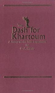


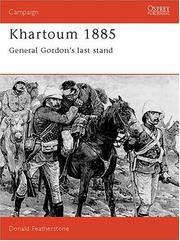


Search results from Open Library.
Recent natural events nearby
Ground air-quality sensors
Recently spotted species
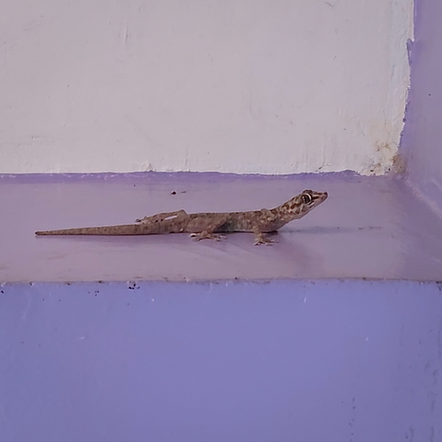
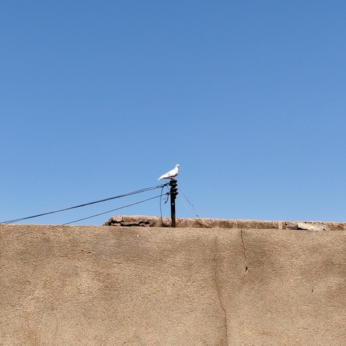
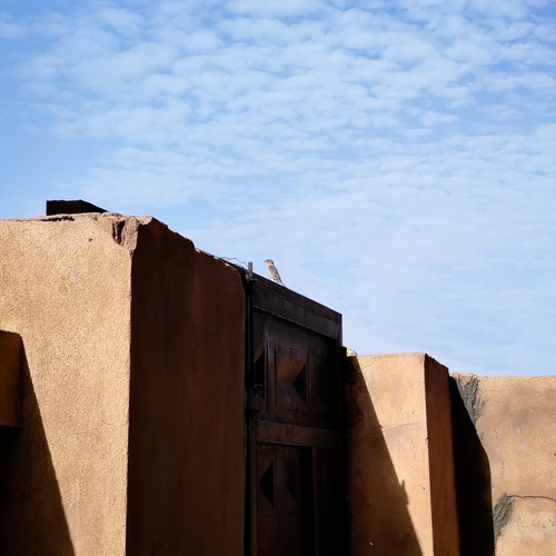
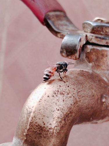
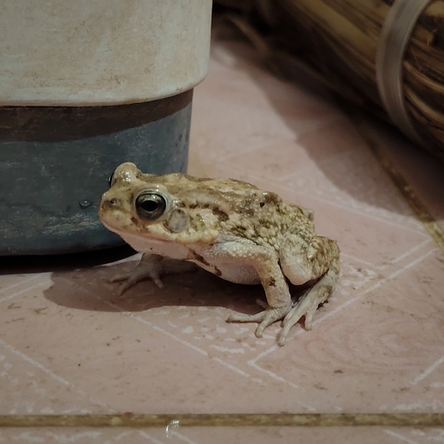
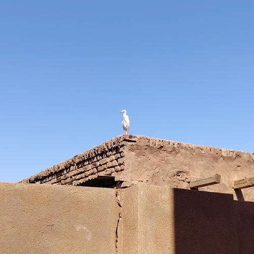
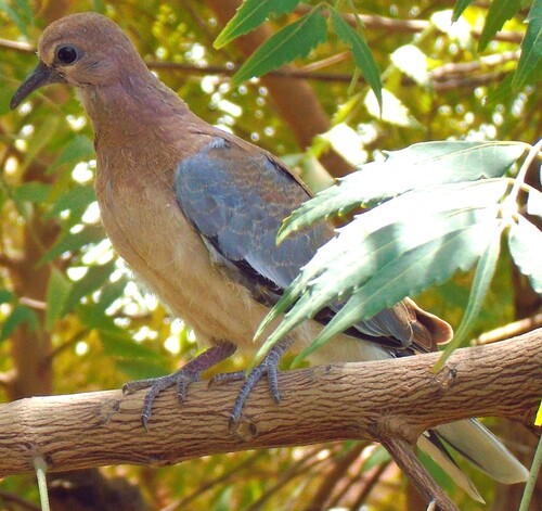
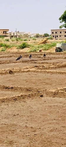
Research-grade observations from iNaturalist (within ~15 mi).
Events
Gallery
Geotagged photos within ~6 miles of Khartoum, from Wikimedia Commons contributors.
 0.3 mi
 0.3 mi
 0.3 mi
 0.3 mi
 0.3 mi
 0.3 mi
 0.3 mi
 0.3 mi
 0.3 mi
 0.3 mi
 0.3 mi
 0.6 mi
 0.8 mi
 0.8 mi
 1 mi
1 mi 1.2 mi
 1.2 mi
 1.2 mi
 1.3 mi
 1.3 mi
.jpg) 1.4 mi
1.4 mi 1.5 mi
 1.5 mi
.jpg) 1.5 mi
1.5 miPhotos via Wikimedia Commons — see each image page for license & attribution.
Sources
- • Wikipedia
- • Open-Meteo (ERA5 reanalysis)
- • Wikimedia Commons
- • Wikidata
- • Open-Meteo Air Quality (CAMS)
- • USGS Earthquake Catalog (global feed)
- • GBIF (Global Biodiversity Information Facility)
- • iNaturalist
- • Open-Elevation
- • Open-Meteo / sunrise-sunset.org
- • Wikipedia Pageviews API
- • Open Library