Browse / Slovakia / Bratislava / Báhoň
Báhoň
Bratislavavillage

Báhoň
Total population
1,856
Founded
1244
Demographic figures from Statistical Office of Slovakia. Overview below cites Wikipedia and may reference a different year.
City facts
Facts from Wikidata (CC0).
Overview
Báhoň is a village and municipality in western Slovakia in Pezinok District in the Bratislava Region. The village of roughly 1,833 people is located next to Kaplná, east of Pezinok and south-west of Trnava.
Read more on WikipediaHistory & geography
History
The first written reference to the town comes from 1244. However, it is assumed that for the three hundred years before that Báhoň was owned by the Hungarian kings, attached to the Bratislava Castle estate. In the middle of the 16th century the town has experienced an influx of German colonists, who soon became dominant. Their dominance was defused half a century later when Croatian colonists moved in. The town became fully Slovak after the 1918 founding of Czechoslovakia. In 1580, the ruling Jazernický family built a mansion, which was expanded and rebuilt in 1759-1765. The manor was rebuilt again in 1816 in Neoclassical style. The final renovation came in 1935-1936. In 1845, the horse railway that connected Trnava with Bratislava opened, with a stop in Báhoň. This positively impacted the town's social and industrial development. After the electrified rail line between Žilina and Bratislava opened, Báhoň retained its train station. Between 1914 and 1921, the Roman Catholic church of Saint Francis of Assisi was built by the renowned Slovak architect Milan Michal Harminc. In 1930, a manor house became a care home for the blind, and after World War II an electrical manufacturing facility customized for blind workers was opened. Between 1974 and 1990, Báhoň was much larger than it is today, as it also included the villages of Kaplna and Igram.
Excerpted from the corresponding Wikipedia article (CC BY-SA).
Geography
Coordinates & boundaries from the US Census TIGER/Line shapefiles.
Climate
Air quality
Walkability
Amenities nearby
Wildlife & biodiversity
Earthquake history
Photos
Sights & places nearby
Notable people from here


People born within ~10 km, from Wikidata (CC0). Click any name for their Wikipedia article.
Nearby places in Bratislava
- Kaplna1 mi away · pop. 700
- Jablonec1.7 mi away · pop. 1,022
- Igram2 mi away · pop. 550
- Vištuk2.9 mi away · pop. 1,357
- Čataj3 mi away · pop. 1,003
- Blatné3.2 mi away · pop. 1,571
- Budmerice3.7 mi away · pop. 2,406
- Boldog4.9 mi away · pop. 431
- Štefanová5.6 mi away · pop. 354
- Dubová6.2 mi away · pop. 904
- Nový Svet6.7 mi away · pop. 59
- Vinosady7 mi away · pop. 1,125
Geography & sun
Elevation, sunrise/sunset and daylight from Open-Meteo. Solar climatology from NASA POWER.
Nearby airports
Public attention
Pageview totals from the Wikimedia Pageviews API.
Books about this place
Recent natural events nearby
Ground air-quality sensors
Recently spotted species
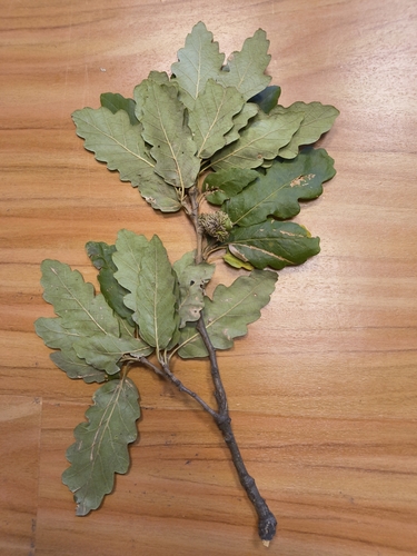

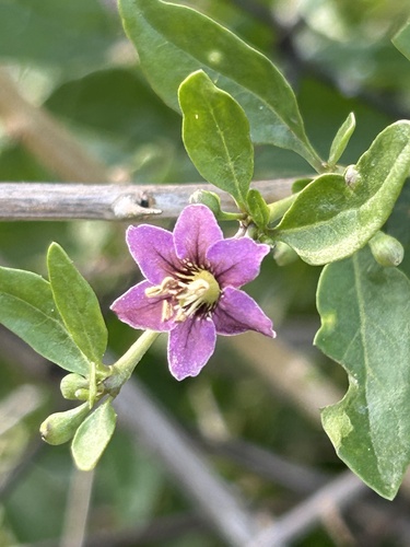
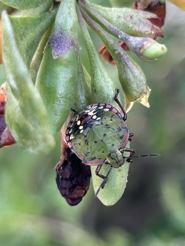
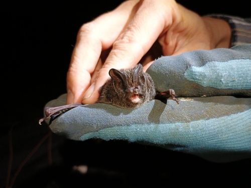
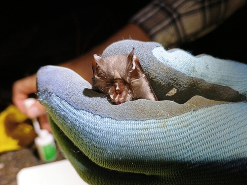
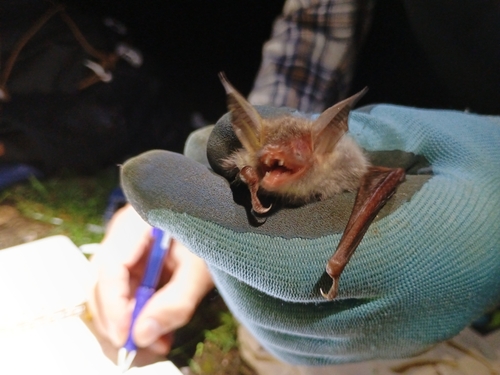
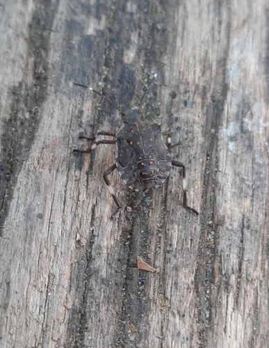
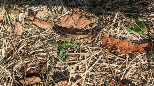
Research-grade observations from iNaturalist (within ~15 mi).
Events
Gallery
Sources
- • Wikipedia
- • Wikidata
- • iNaturalist
- • Open-Meteo / sunrise-sunset.org
- • Wikipedia Pageviews API