Browse / Slovakia / Bratislava / Bratislava
Bratislava
Bratislavacity

Bratislava
Total population
432,801
Air quality index
Demographic figures from Statistical Office of Slovakia. Overview below cites Wikipedia and may reference a different year.
City facts
Facts from Wikidata (CC0).
Overview
Bratislava is the capital and largest city of Slovakia and the fourth largest of all cities on the river Danube. Officially, the population of the city proper is about 479,000, with the wider Bratislava Region exceeding 732,000 inhabitants. The metropolitan area has a population of approximately 1.3 million.
Read more on WikipediaHistory & geography
History
The first known permanent settlement of the area began with the Linear Pottery Culture, around 5000 B.C. in the Neolithic era. About 200 B.C., the Celtic Boii tribe founded the first significant settlement, a fortified town known as the Bratislava oppidum. They also established a mint, producing gold and silver coins known as biatecs. The area fell under Roman influence from the 1st to the 4th century A.D. and was made part of the Danubian Limes, a border defence system. The Romans introduced grape growing to the area and began a tradition of winemaking, which survives to the present. The Slavs arrived from the East between the 5th and 6th centuries during the Migration Period. As a response to onslaughts by Avars, the local Slavic tribes rebelled and established Samo's Empire (623–658), the first known Slavic political entity. In the 9th century, the castles at Bratislava (Brezalauspurk) and Devín (Dowina) were important centres of the Slavic states: the Principality of Nitra and Great Moravia. Scholars have debated the identification as fortresses of the two castles built in Great Moravia, based on linguistic arguments and because of the absence of convincing archaeological evidence. The first written reference to a settlement named "Brezalauspurc" dates to 907 and is related to the Battle of Pressburg, during which a Bavarian army was defeated by the Hungarians. It is connected to the fall of Great Moravia, already weakened by its own inner decline and under the attacks of the Hungarians. The exact location of the battle remains unknown, and some interpretations place it west of Lake Balaton. In the 10th century, the territory of Pressburg (what would later become Pozsony county) became part of Hungary (called the "Kingdom of Hungary" from 1000). It…
Geography
Bratislava is situated in southwestern Slovakia, within the Bratislava Region. Its location on the borders with Austria and Hungary makes it the only national capital that borders two countries. It is only from the border with Hungary and only from the Austrian capital Vienna. The city has a total area of , making it the second-largest city in Slovakia by area (after the township of Vysoké Tatry). Bratislava straddles the Danube, along which it had developed and for centuries the chief transportation route to other areas. The river passes through the city from the west to the southeast. The Middle Danube basin begins at Devín Gate in western Bratislava. Other rivers are the Morava River, which forms the northwestern border of the city and enters the Danube at Devín, the Little Danube, and the Vydrica, which enters the Danube in the borough of Karlova Ves. The Carpathian mountain range begins in city territory with the Little Carpathians (Malé Karpaty). The Záhorie and Danubian lowlands stretch into Bratislava. The city's lowest point is at the Danube's surface at above mean sea level, and the highest point is Devínska Kobyla at . The average altitude is . Bratislava has recently shifted into the humid subtropical climate under Köppen–Geiger climate classification (Cfa), closely bordering on Dfa, and is classified as temperate oceanic climate under Trewartha climate classification (Doak), It is in USDA Plant Hardiness Zone 7b with a mean annual temperature of around , an average temperature of in the warmest month and in the coldest month, four distinct seasons and precipitation spread rather evenly throughout the year. It is often windy with a marked variation between hot summers and cold, humid winters. There can also sometimes be a significant difference in…
Excerpted from the corresponding Wikipedia article (CC BY-SA).
Geography
Coordinates & boundaries from the US Census TIGER/Line shapefiles.
Climate
10-year averages from ERA5 reanalysis (Open-Meteo).
Air quality
Current readings from Open-Meteo Air Quality API (Copernicus CAMS European reanalysis).
Walkability
Amenities nearby
Wildlife & biodiversity
Most-observed species
- Great TitParus major Linnaeus, 1758 · Aves5,931
- Eurasian BlackbirdTurdus merula Linnaeus, 1758 · Aves5,054
- Hooded CrowCorvus cornix Linnaeus, 1758 · Aves4,932
- MallardAnas platyrhynchos Linnaeus, 1758 · Aves3,798
- Eurasian Blue TitCyanistes caeruleus (Linnaeus, 1758) · Aves3,715
- Common Wood-PigeonColumba palumbus Linnaeus, 1758 · Aves3,694
- Common ChaffinchFringilla coelebs Linnaeus, 1758 · Aves3,475
- Eurasian MagpiePica pica (Linnaeus, 1758) · Aves3,078
Citizen-science & research observations from the Global Biodiversity Information Facility (GBIF).
Earthquake history
Most recent
- M 3.9 — 2026-02-2111 km ESE of Šamorín, Slovakia
- M 4 — 2023-03-301 km WNW of Buchbach, Austria
- M 3.9 — 2021-04-193 km SW of Wiener Neustadt, Austria
- M 4 — 2021-03-303 km NW of Lanzenkirchen, Austria
- M 4.2 — 2016-04-253 km NNE of Heiligenkreuz, Austria
- M 3.6 — 2013-10-022 km ENE of Unterwaltersdorf, Austria
Events from the USGS Earthquake Catalog (global) (FDSN Event Web Service).
Photos
Sights & places nearby
Notable people from here


People born within ~10 km, from Wikidata (CC0). Click any name for their Wikipedia article.
Nearby places in Bratislava
- Rovinka6.9 mi away · pop. 1,631
- Marianka7.1 mi away · pop. 1,191
- Ivanka pri Dunaji7.3 mi away · pop. 5,777
- Most pri Bratislave7.5 mi away · pop. 1,690
- Zálesie7.6 mi away · pop. 1,285
- Malinovo8.6 mi away · pop. 1,498
- Dunajská Lužná8.6 mi away · pop. 3,650
- Kalinkovo9.2 mi away · pop. 1,068
- Bernolákovo9.4 mi away · pop. 5,149
- Hamuliakovo10.3 mi away · pop. 1,268
- Tomášov10.4 mi away · pop. 2,271
- Slovenský Grob10.8 mi away · pop. 5,136
Geography & sun
Elevation, sunrise/sunset and daylight from Open-Meteo. Solar climatology from NASA POWER.
Nearby airports
Public attention
Pageview totals from the Wikimedia Pageviews API.
Books about Bratislava


Search results from Open Library.
Recent natural events nearby
Ground air-quality sensors
Recently spotted species
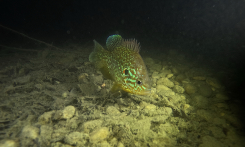
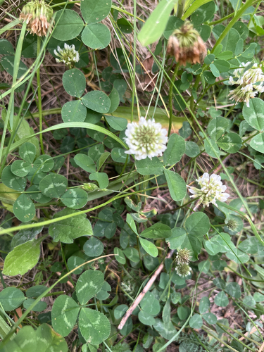
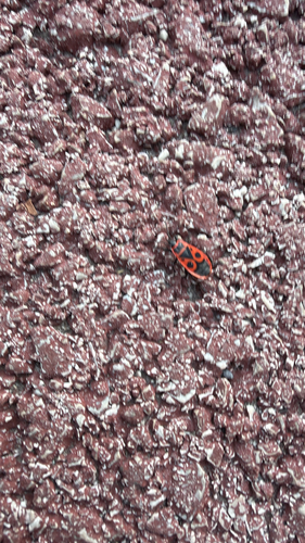
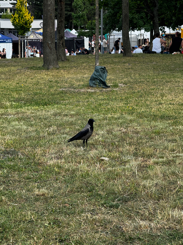
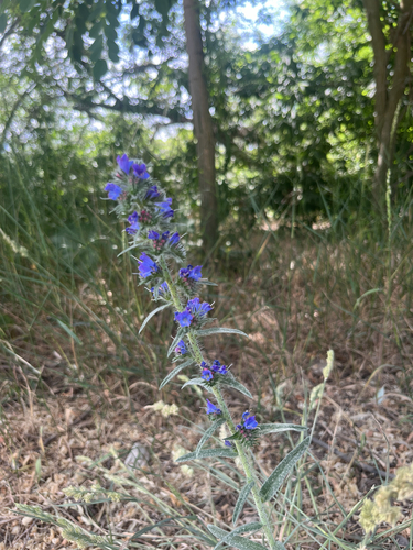
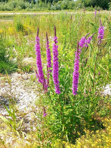
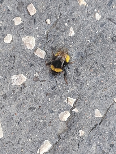
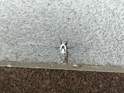
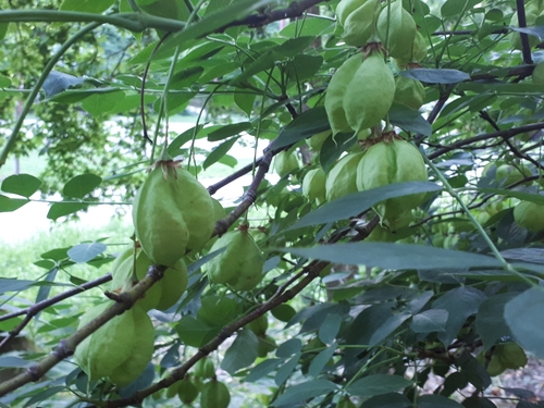
Research-grade observations from iNaturalist (within ~15 mi).
Events
Notable, recurring, and historical events associated with Bratislava, sourced from Wikidata.
- Dec 23, 2024
- Mar 25, 1988
- GLOBSEC Forumannual event
- Evenings of New Musicrecurring event
annual international festival of contemporary music held in Bratislava, Slovakia
- Biennial of Animation Bratislavafestival
Source: Wikidata (CC0).
Gallery
Geotagged photos within ~6 miles of Bratislava, from Wikimedia Commons contributors.
 0.1 mi
 0.1 mi
 0.1 mi
 0.1 mi
 0.1 mi
 0.1 mi
 0.1 mi
 0.1 mi
 0.1 mi
 0.1 mi
 0.1 mi
 0.1 mi
.jpg) 0.1 mi
0.1 mi 0.1 mi
_-_panoramio.jpg) 0.1 mi
0.1 mi 0.1 mi
.jpg) 0.1 mi
0.1 mi 0.1 mi
 0.1 mi
 0.1 mi
 0.1 mi
.jpg) 0.1 mi
0.1 mi.jpg) 0.1 mi
0.1 mi.jpg) 0.1 mi
0.1 miPhotos via Wikimedia Commons — see each image page for license & attribution.
Sources
- • Wikipedia
- • Open-Meteo (ERA5 reanalysis)
- • Wikimedia Commons
- • Wikidata
- • Open-Meteo Air Quality (CAMS)
- • USGS Earthquake Catalog (global feed)
- • GBIF (Global Biodiversity Information Facility)
- • iNaturalist
- • Open-Elevation
- • Open-Meteo / sunrise-sunset.org
- • Wikipedia Pageviews API
- • Open Library