Browse / Slovakia / Trnava / Brestovany
Brestovany
Trnavavillage

Brestovany
Total population
2,131
Founded
1113
Demographic figures from Statistical Office of Slovakia. Overview below cites Wikipedia and may reference a different year.
City facts
Facts from Wikidata (CC0).
Overview
Brestovany is a municipality in the Trnava District of the Trnava region of Slovakia, with a population of about 2,000 inhabitants. The name of the village is likely derived from the Slovak word brest, meaning elm, a tree which used to be common in the area.
Read more on WikipediaHistory & geography
History
The first recorded mention of Brestovany dates back to 1113 in a document known as the Zoborská listina, where it is referred to as Bristem. The village has faced numerous challenges throughout its history, including a Tatars invasion in 1241 and a conquest by the Czech army in 1271. In 1280, Brestovany became hereditary property of the town of Trnava, making its inhabitants serfs until the abolition of serfdom in 1848. The village was plundered and burned by the Ottoman Empire in 1533. In the 18th century, two significant religious structures were built in Brestovany: the Chapel of Saint Martin and the Church of Saint John the Baptist. The village suffered severe fires in 1811 and 1818, which destroyed large parts of it. By 1824, Brestovany belonged to Polish count Jozef Saryusz Zamoyski, who built a neoclassical mansion in the village, now housing a primary school. The mansion later became the property of another Polish noble, Albert Wielopolski, both of whom are buried in the local cemetery.
Excerpted from the corresponding Wikipedia article (CC BY-SA).
Geography
Coordinates & boundaries from the US Census TIGER/Line shapefiles.
Climate
Air quality
Walkability
Amenities nearby
Wildlife & biodiversity
Earthquake history
Photos
Sights & places nearby
Notable people from here


People born within ~10 km, from Wikidata (CC0). Click any name for their Wikipedia article.
Nearby places in Trnava
- Križovany nad Dudváhom4.7 mi away · pop. 1,829
- Váhovce10.3 mi away · pop. 2,104
- Sokolovce12.6 mi away · pop. 1,208
- Piešťany15.3 mi away · pop. 29,587
- Jelka18.6 mi away · pop. 3,958
- Orechová Potôň26.4 mi away · pop. 1,736
- Panemunė496.8 mi away · pop. 274
- Šereitlaukis498 mi away · pop. 36
- Pempynė499 mi away · pop. 21
- Pagėgiai499.7 mi away · pop. 1,941
- Vėžininkai499.7 mi away · pop. 67
- Mikytai499.7 mi away · pop. 26
Geography & sun
Elevation, sunrise/sunset and daylight from Open-Meteo. Solar climatology from NASA POWER.
Nearby airports
Public attention
Pageview totals from the Wikimedia Pageviews API.
Books about this place
Recent natural events nearby
Ground air-quality sensors
Recently spotted species
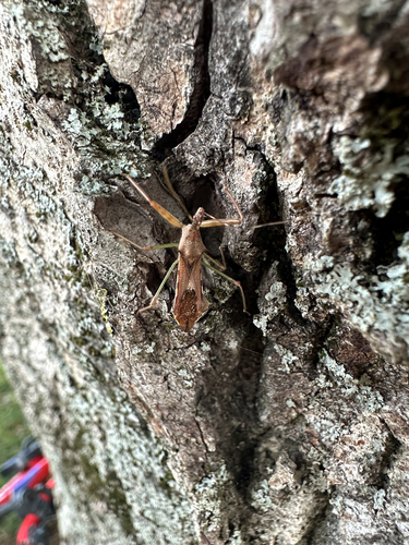
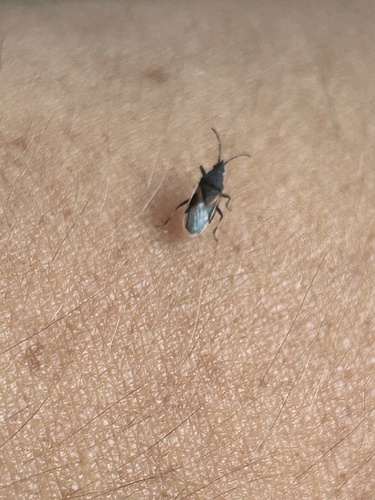
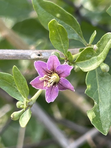
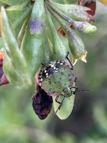
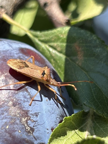
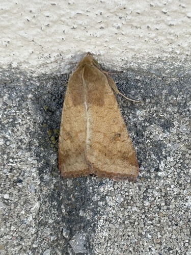
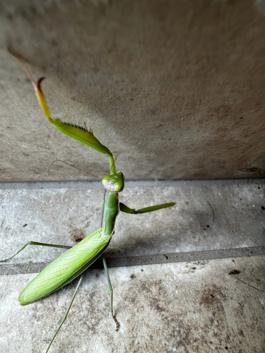
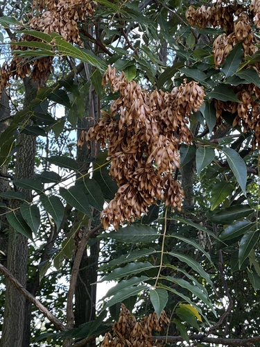
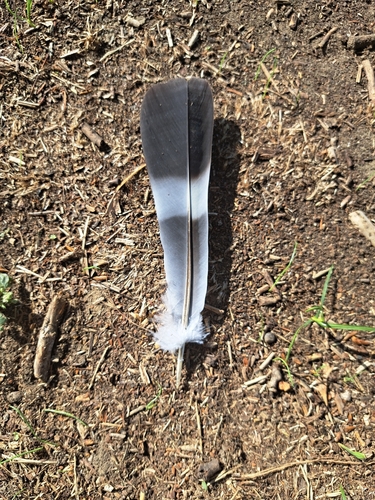
Research-grade observations from iNaturalist (within ~15 mi).
Events
Gallery
Sources
- • Wikipedia
- • Wikidata
- • iNaturalist
- • Open-Meteo / sunrise-sunset.org
- • Wikipedia Pageviews API