Browse / Slovakia / Trnava / Galanta
Galanta
Trnavatown

Galanta
Total population
15,886
Demographic figures from Statistical Office of Slovakia. Overview below cites Wikipedia and may reference a different year.
City facts
Overview
Galanta is a town with about 15,000 inhabitants in the Trnava Region of Slovakia. It is situated 50 km due east of the Slovak capital Bratislava.
Read more on WikipediaHistory & geography
History
The area around Galanta has been inhabited almost continuously since the Neolithic. From the second half of the 10th century until 1918, it was part of the Kingdom of Hungary. The first written record of Galanta is from 1237 in a Royal Decree by Béla IV of Hungary. Through the years, the settlement was under the lordship of various noble families including the Esterházy de Galantha and the Fekete de Galántha. Beginning in 1421, the Eszterházy family ruled the town and the surrounding area. In 1613 or 1614, Galanta was promoted to a free market town. Before the establishment of independent Czechoslovakia in 1918, Galanta was part of Pozsony County. After the break-up of Austria-Hungary in 1918/1920, the town became part of the newly created Czechoslovakia. As a result of the First Vienna Award, it returned to Hungary between 1938 and 1945. On 31 March 1945, Galanta was captured by troops of the Soviet 2nd Ukrainian Front and became again part of Czechoslovakia.
Geography
Galanta lies in the Danubian Lowland (Podunajská nížina), the warm southern part of Slovakia. There are many agricultural fields around Galanta, where wheat, corn, and other vegetables and fruits are grown.
Excerpted from the corresponding Wikipedia article (CC BY-SA).
Geography
Coordinates & boundaries from the US Census TIGER/Line shapefiles.
Climate
Air quality
Walkability
Amenities nearby
Wildlife & biodiversity
Earthquake history
Photos
Sights & places nearby
Notable people from here
Nearby places in Trnava
- Jelka10.6 mi away · pop. 3,958
- Piešťany27.9 mi away · pop. 29,587
- Panemunė508.9 mi away · pop. 274
- Šereitlaukis510 mi away · pop. 36
- Pempynė511.1 mi away · pop. 21
- Vėžininkai511.7 mi away · pop. 67
- Pagėgiai511.8 mi away · pop. 1,941
- Mikytai511.9 mi away · pop. 26
- Opstainys512.2 mi away · pop. 54
- Plaškiai512.3 mi away · pop. 112
- Šilgaliai512.6 mi away · pop. 491
- Kerkutviečiai513.6 mi away · pop. 49
Geography & sun
Elevation, sunrise/sunset and daylight from Open-Meteo. Solar climatology from NASA POWER.
Nearby airports
Public attention
Pageview totals from the Wikimedia Pageviews API.
Books about this place
Recent natural events nearby
Ground air-quality sensors
Recently spotted species
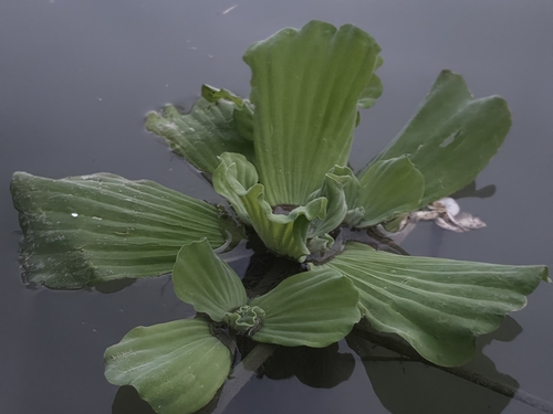
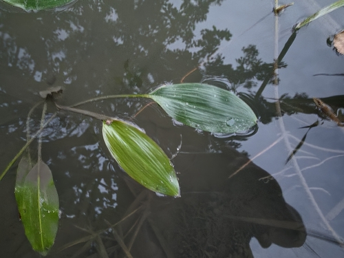
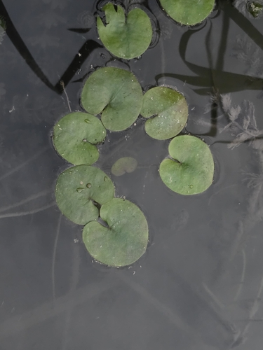
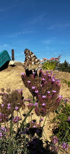
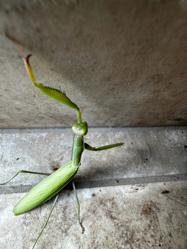
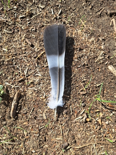
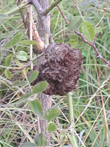
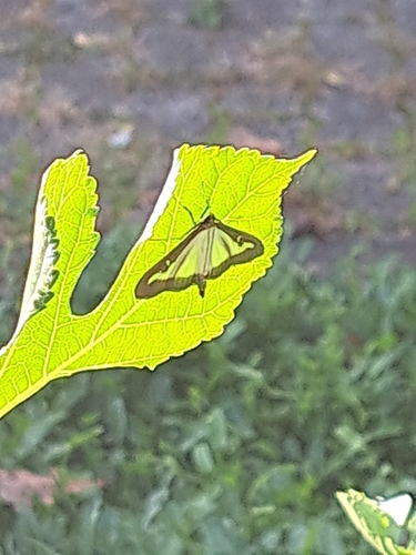
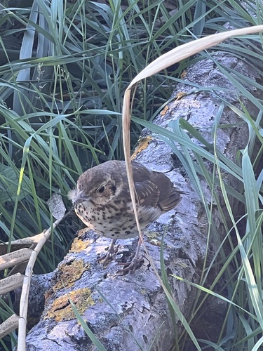
Research-grade observations from iNaturalist (within ~15 mi).
Events
Gallery
Sources
- • Wikipedia
- • iNaturalist
- • Open-Meteo / sunrise-sunset.org
- • Wikipedia Pageviews API