Browse / Slovakia / Banská Bystrica / Hronský Beňadik
Hronský Beňadik
Banská Bystricavillage

Hronský Beňadik
Total population
1,238
Founded
1075
Demographic figures from Statistical Office of Slovakia. Overview below cites Wikipedia and may reference a different year.
City facts
Facts from Wikidata (CC0).
Overview
Hronský Beňadik is a village in central Slovakia. It has a population of 1233 (2005).
Read more on WikipediaHistory & geography
History
The territory of the village has been settled since the Neolithic and Hallstatt period, but it is best known for a very important Benedictine abbey, which played in important role in the Christianization process and in the development of culture and education. It was founded in 1075 by King Géza I under the name "Monasterium Ecclesia Sancti Benedicti". The Nitra Gospels, the oldest Latin book (i.e. not just text) from the territory of Slovakia, were written here around 1100. The abbey ceased operations during the 16th century in the course of the Ottoman expansion in present-day Hungary. The church of the monastery contains valuable works of art (a wood-carving of the Holy Sepulchre, a wall-painting presenting the legend of St. George, an altar depicting the Passion, a sculpture of Jesus Christ from the 13th century, a Madonna sculpture from the 14th century, etc.). The abbey was declared a National Cultural Monument in 1945. The village below the abbey arose in the 14th century and received a city charter (town privileges) in 1347, but was destroyed by the Turks (Ottomans) in 1599 and later re-built.
Geography
It is situated in the Hron valley between the mountains Pohronský Inovec and Štiavnické vrchy, located around 40 km east of Nitra and 120 km north-east of Bratislava.
Excerpted from the corresponding Wikipedia article (CC BY-SA).
Geography
Coordinates & boundaries from the US Census TIGER/Line shapefiles.
Climate
Air quality
Walkability
Amenities nearby
Wildlife & biodiversity
Earthquake history
Photos
Sights & places nearby
Notable people from here


People born within ~10 km, from Wikidata (CC0). Click any name for their Wikipedia article.
Nearby places in Banská Bystrica
- Vysoká11.6 mi away · pop. 148
- Žarnovica12.1 mi away · pop. 6,393
- Píla12.4 mi away · pop. 149
- Hrabičov13.9 mi away · pop. 618
- Ladzany16.8 mi away · pop. 306
- Drážovce17.3 mi away · pop. 119
- Repište17.6 mi away · pop. 299
- Terany19.2 mi away · pop. 710
- Podhorie19.6 mi away · pop. 374
- Žibritov19.7 mi away · pop. 70
- Rykynčice21.3 mi away · pop. 331
- Ladomerská Vieska21.6 mi away · pop. 787
Geography & sun
Nearby airports
Public attention
Books about this place
Recent natural events nearby
Ground air-quality sensors
Recently spotted species
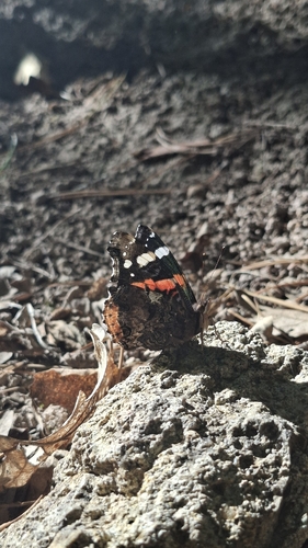
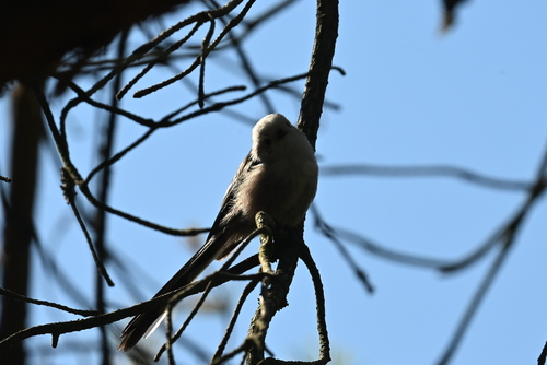
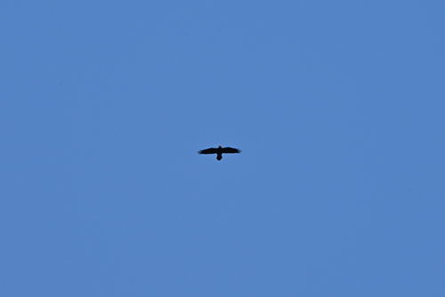
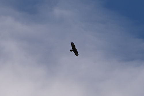
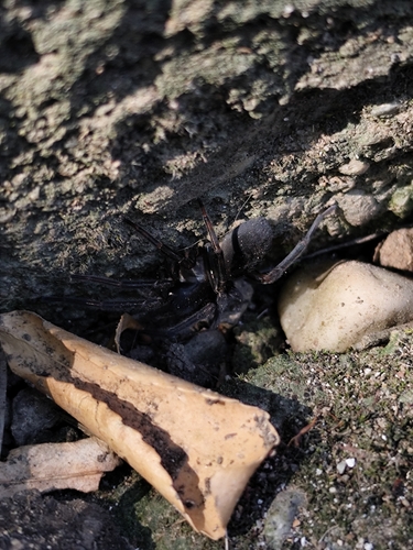
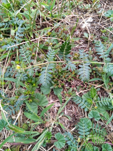
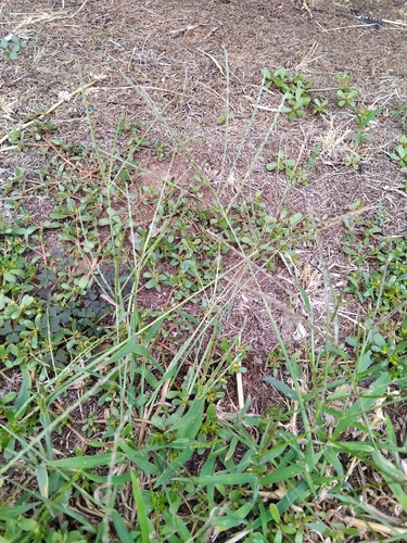
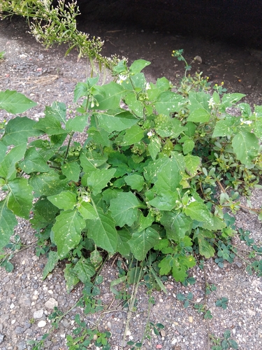
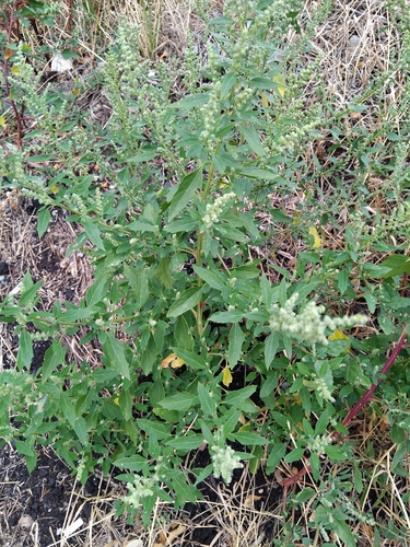
Research-grade observations from iNaturalist (within ~15 mi).
Events
Gallery
Sources
- • Wikipedia
- • Wikidata
- • iNaturalist