Browse / Slovakia / Trnava / Kostolné Kračany
Kostolné Kračany
Trnavavillage

Kostolné Kračany
Total population
1,283
Founded
1215
Demographic figures from Statistical Office of Slovakia. Overview below cites Wikipedia and may reference a different year.
City facts
Facts from Wikidata (CC0).
Overview
Kostolné Kračany is a village and municipality in the Dunajská Streda District in the Trnava Region of south-west Slovakia.
Read more on WikipediaHistory & geography
History
In the 11th century, the territory of Kostolné Kračany became part of the Kingdom of Hungary. In historical records the village was first mentioned in 1215 as Corcha. Its first church was consecrated to Saint Bartholomew before 1249. However, the settlement is considered to originate from the era of the Hungarian conquest of the Carpathian Basin as the structure of the village reflects the ecclesiastical system as organised by King St Stephen of Hungary. The king ordered that all 10 villages must build a church, the villages named Karcha build the church in this village whose name in Hungarian means Church Karcha. In the 14th century, it consisted of the following villages: Egyházaskarcha (1351), Remegkarcha (1355), Diákkarcha (1357), Barthalkarcha (1377) Lászlókarcha (1377) és Lucakarcha (1467). In 1561, the people of the village converted to the Protestant Reformed church, and only in 1729 was the Catholic congregation re-established. During the 16th and 17th centuries, the village was under the patronage of the Somogyi family. The population, 62 in 1840, grew to 80 by 1910. Ethnically, the population was predominantly Hungarian. Until the Treaty of Trianon, it was part of Pozsony county.
Excerpted from the corresponding Wikipedia article (CC BY-SA).
Geography
Coordinates & boundaries from the US Census TIGER/Line shapefiles.
Climate
Air quality
Walkability
Amenities nearby
Wildlife & biodiversity
Earthquake history
Photos
Sights & places nearby
Notable people from here


People born within ~10 km, from Wikidata (CC0). Click any name for their Wikipedia article.
Nearby places in Trnava
- Orechová Potôň3.1 mi away · pop. 1,736
- Jelka11.7 mi away · pop. 3,958
- Váhovce20.8 mi away · pop. 2,104
- Križovany nad Dudváhom23.7 mi away · pop. 1,829
- Sokolovce40.2 mi away · pop. 1,208
- Piešťany43.4 mi away · pop. 29,587
- Panemunė524.8 mi away · pop. 274
- Šereitlaukis525.9 mi away · pop. 36
- Pempynė527 mi away · pop. 21
- Vėžininkai527.6 mi away · pop. 67
- Pagėgiai527.7 mi away · pop. 1,941
- Mikytai527.8 mi away · pop. 26
Geography & sun
Elevation, sunrise/sunset and daylight from Open-Meteo. Solar climatology from NASA POWER.
Nearby airports
Public attention
Pageview totals from the Wikimedia Pageviews API.
Books about this place
Recent natural events nearby
Ground air-quality sensors
Recently spotted species
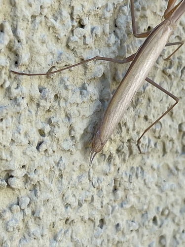
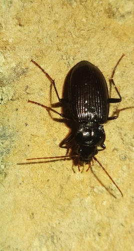
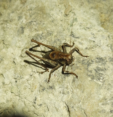
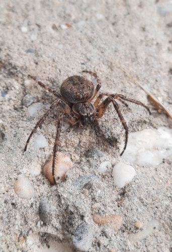
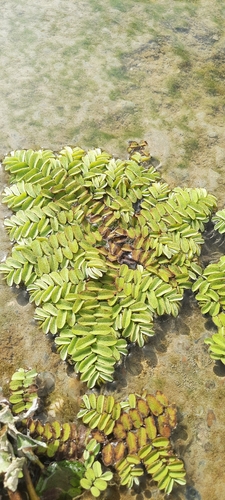
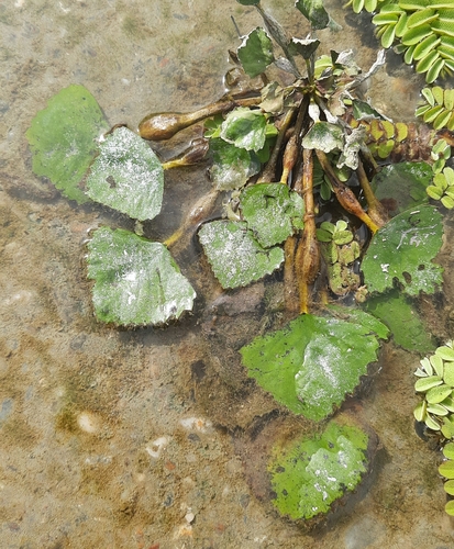
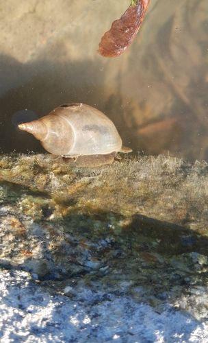
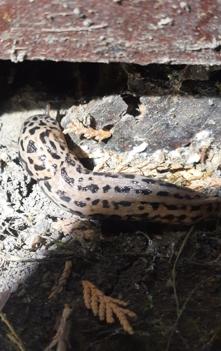
Research-grade observations from iNaturalist (within ~15 mi).
Events
Gallery
Sources
- • Wikipedia
- • Wikidata
- • iNaturalist
- • Open-Meteo / sunrise-sunset.org
- • Wikipedia Pageviews API