Browse / Slovakia / Košice / Medzev
Medzev
Košicetown

Medzev
Total population
3,846
Founded
1359
Demographic figures from Statistical Office of Slovakia. Overview below cites Wikipedia and may reference a different year.
City facts
Sister cities
Facts from Wikidata (CC0).
Overview
Medzev is a town and large municipality in Košice-okolie District in the Košice Region of eastern Slovakia. It is one of several towns in Bodva Valley. Other towns in Bodva Valley include: Jasov, Lucia Bania, Vyšný Medzev, and Stos. Historically, It belonged to one of the original mountain towns in the Lower Zips/Dolný Spis: Gelnica/Göllnitz, Smolník/Schmöllnitz, Nálepkovo/Wagendrüssel, Krompachy/Krompach, Mníšek nad Hnilcom/Einsiedel, Švedlár/Schwedler.
Read more on WikipediaHistory & geography
History
Any official documents regarding the founding of Metzenseifen have yet to be found and were likely destroyed in the Counter-Reformation. Much of the historical records obtained regarding the history of Medzev come from the monastery in Jasov. As shown in the timeline, the departure of the Mongols in 1241 prompted King Béla IV to rebuild Hungary as quickly as possible. It is known that he invited Germans as part of his recolonization effort. Whether he directly invited the particular settlers of Metzenseifen remains unknown, but possible. The first official document from the Bodva Valley is that of a legal document from 1272, which describes the litigation of forestry rights between Vyšný Medzev / Upper Metzenseifen and Jasov. It could be extrapolated that Metzenseifen was founded sometime between 1241 and 1272. Until now, any documents that would have been submitted to Vienna or Budapest regarding Medzev's specific date of establishment have not been found. Therefore, we must draw information from reliable sources in the timeline like demarcation, into which the colonists would have entered upon arriving in the area called Metzenseifen. The timeline, as well as official documents and historical data were wiped out by the end of the Counter-Reformation. The monastery in Jasov and the neighboring townships could help us via documents, in which the name "Metzenseifen" was mentioned. The town was founded by ethnic Germans during the High Middle Ages. It is safe to assume that they had a good reason to leave home in present-day Germany and form this new settlement. The Feudal Age of the thirteenth century was less than satisfactory. It is known that certain privileges (e.g. freedom from servitude, etc.) were promised in order to persuade people to come to Slovakia (part…
Geography
It is located at the foothills of the Slovak Karst (south) and Volovec Mountains (north) on the Bodva River, around 35 km west of Košice.
Excerpted from the corresponding Wikipedia article (CC BY-SA).
Geography
Coordinates & boundaries from the US Census TIGER/Line shapefiles.
Climate
Air quality
Walkability
Amenities nearby
Wildlife & biodiversity
Earthquake history
Photos
Sights & places nearby
Notable people from here


People born within ~10 km, from Wikidata (CC0). Click any name for their Wikipedia article.
Nearby places in Košice
- Vyšný Medzev1.1 mi away · pop. 531
- Hačava3.4 mi away · pop. 212
- Poproč3.9 mi away · pop. 2,817
- Jasov3.9 mi away · pop. 2,993
- Rudník5.3 mi away · pop. 618
- Smolnícka Huta6.2 mi away · pop. 481
- Zlatá Idka6.3 mi away · pop. 340
- Zádiel6.6 mi away · pop. 180
- Drienovec6.8 mi away · pop. 1,820
- Zádielske Dvorníky7.3 mi away
- Smolník7.3 mi away
- Dvorníky-Včeláre7.5 mi away · pop. 434
Geography & sun
Elevation, sunrise/sunset and daylight from Open-Meteo. Solar climatology from NASA POWER.
Nearby airports
Public attention
Pageview totals from the Wikimedia Pageviews API.
Books about Medzev
Search results from Open Library.
Recent natural events nearby
Ground air-quality sensors
Recently spotted species
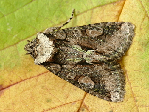
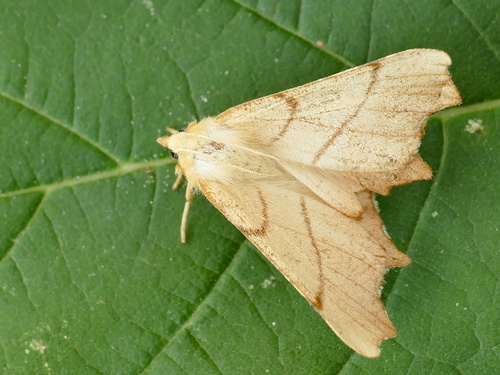
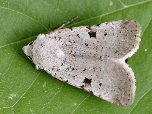
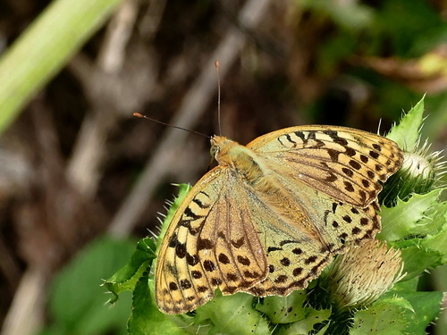
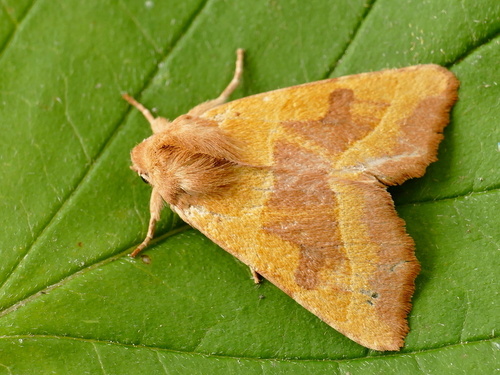
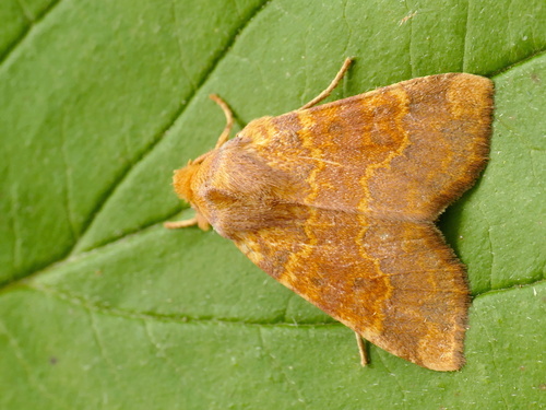
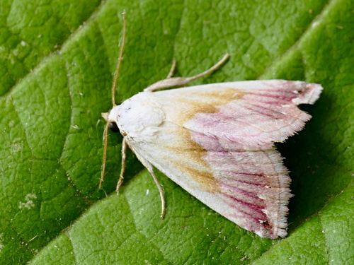
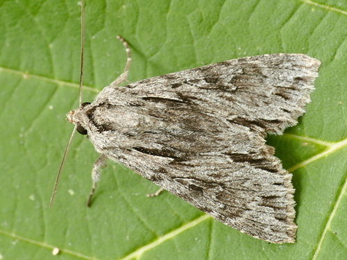
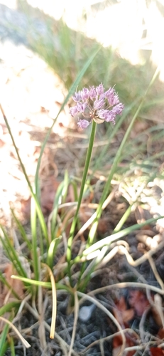
Research-grade observations from iNaturalist (within ~15 mi).
Events
Gallery
Sources
- • Wikipedia
- • Wikidata
- • iNaturalist
- • Open-Elevation
- • Open-Meteo / sunrise-sunset.org
- • Wikipedia Pageviews API
- • Open Library