Browse / Slovakia / Žilina / Mošovce
Mošovce
Žilinavillage

Mošovce
Total population
1,338
Founded
1233
Demographic figures from Statistical Office of Slovakia. Overview below cites Wikipedia and may reference a different year.
City facts
Facts from Wikidata (CC0).
Overview
Mošovce is one of the largest villages in the historical region of Turiec, currently in the Turčianske Teplice District in the Žilina Region of northern Slovakia.
Read more on WikipediaHistory & geography
History
Many preserved historical buildings are the evidence of the 770 years of its existence. It was mentioned for the first time in 1233 in the deed of donation by King Andrew II. Originally, Mošovce was made up of two settlements: The first one, Machyuch, was located in the area of today’s Starý Rad, and the second one, Terra Moys, which gave the village its current name, occupied the place of the present day Vidrmoch. And it is the name of the second settlement meaning The Land of Mojš, which makes us believe that the whole village once belonged to certain Mr. Mojš, whose name might have been an abbreviation of a compound Slavic name Mojtech, similar to the names Vojtech or Mojmír. Throughout history the name of the village has undergone many variations ranging from Mossovych, Mosocz, Mossowecz, villa regia Mayos alio nomine Mossovych, oppidioum Mayus sue Mosocz, Mosocz olim Mayus to the present-day Mošovce. The name of a separate ancient part of Mošovce, a former settlement Chornukov, has been preserved in the modern form of Čerňakov. Yet another part of the village bears the name of Mazan. Mošovce first developed as a royal settlement with a free advocacy, and from the middle the 14th century as a privileged town subjected to the royal castle of Blatnica. In 1527 it fell into the hands of the Révay family, who suppressed the town privileges of Mošovce for almost 400 years. In the past, Mošovce was an important craft center of the Turiec region. Crafts experienced a surprising expansion, and there were around 15 guilds active in the town; the bootmaker and the most famous furrier guild were the ones to survive for the longest time. Before the establishment of independent Czechoslovakia in 1918, Mošovce was part of Turóc County within the Kingdom of Hungary. From 1939…
Geography
The surroundings of Mošovce are truly unique. A complex of historic tree avenues and groves creates an aesthetic and impressive landscape, which works as an extension to the woodland scenery of the Veľká Fatra Mountains with its peaks of Tlstá, Ostrá and Drienok. This mountain range belongs to the most attractive ones in Slovakia. Limestone and dolomite rock formations of fantastic shapes, as well as the beautiful nature in the nearby Blatnická and Gaderská Valleys attract people from all parts of the world. A stream called Mošovka flows through Mošovce, and is divided into two distributaries: the main stream, and the so-called Upper Stream, which was in the past used to propel the mill. The northern part of the town, next to its part Čerňakov, hosts a system of ponds fed by the Čierna Voda stream. Originally the ponds belonged to the Révay manor, while today they are used predominantly for breeding trout.
Excerpted from the corresponding Wikipedia article (CC BY-SA).
Geography
Coordinates & boundaries from the US Census TIGER/Line shapefiles.
Climate
Air quality
Walkability
Amenities nearby
Wildlife & biodiversity
Earthquake history
Photos
Sights & places nearby
Notable people from here


People born within ~10 km, from Wikidata (CC0). Click any name for their Wikipedia article.
Nearby places in Žilina
- Bodorová1.8 mi away · pop. 252
- Rakša2 mi away · pop. 221
- Malý Čepčín2.3 mi away · pop. 523
- Borcová2.6 mi away · pop. 120
- Blatnica2.7 mi away · pop. 893
- Blažovce2.9 mi away · pop. 170
- Jazernica2.9 mi away · pop. 299
- Socovce3 mi away · pop. 232
- Háj3.2 mi away · pop. 469
- Laskár3.3 mi away · pop. 100
- Ivančiná3.5 mi away · pop. 99
- Turčianske Teplice3.5 mi away · pop. 6,991
Geography & sun
Elevation, sunrise/sunset and daylight from Open-Meteo. Solar climatology from NASA POWER.
Nearby airports
Public attention
Pageview totals from the Wikimedia Pageviews API.
Books about this place
Recent natural events nearby
Ground air-quality sensors
Recently spotted species
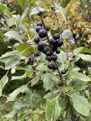
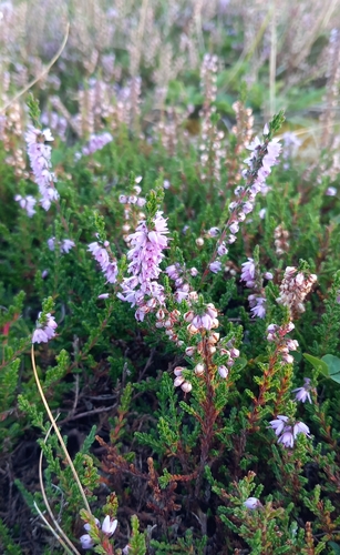
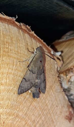
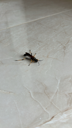
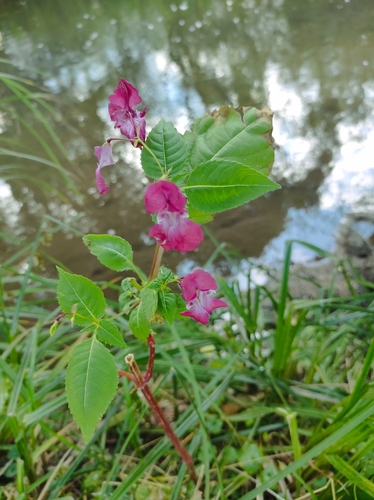
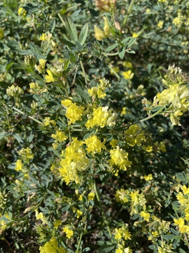
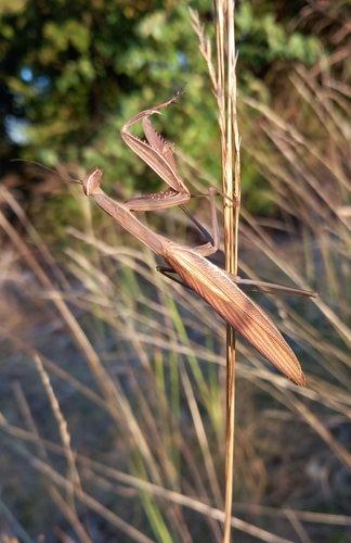
Research-grade observations from iNaturalist (within ~15 mi).
Events
Gallery
Sources
- • Wikipedia
- • Wikidata
- • iNaturalist
- • Open-Meteo / sunrise-sunset.org
- • Wikipedia Pageviews API