Browse / Slovakia / Žilina / Turčianske Teplice
Turčianske Teplice
Žilinatown

Turčianske Teplice
Total population
6,991
Founded
1281
Demographic figures from Statistical Office of Slovakia. Overview below cites Wikipedia and may reference a different year.
City facts
Facts from Wikidata (CC0).
Overview
Turčianske Teplice is a town in central Slovakia in the Žilina Region. It is about halfway between Martin and Kremnica. The town's population is around 6,500. The town was the historic center of the Upper Turiec subregion within the Turiec region (comitatus), and now enjoys the status of a capital of the Turčianske Teplice District.
Read more on WikipediaHistory & geography
History
The town is one of the oldest spa towns in Europe, and was originally known as Štubnianske Teplice. It was first mentioned in text dating from 1281 when King Ladislaus IV of Hungary granted the lands surrounding the springs to a Count Peter. The spa became popular with royalty, including King Sigismund of Hungary and Emperor Maximilian I of Mexico. The recuperative abilities of the spa were first studied by the University of Halle medical student Jan Lisschoviny. Before the establishment of independent Czechoslovakia in 1918, Štubnianske Teplice was part of Turóc County within the Kingdom of Hungary. From 1939 to 1945, it was part of the Slovak Republic. The town was renamed Turčianske Teplice in 1946. In 1951 Turčianske Teplice merged with the community of Vieska.
Geography
It lies in the Turiec Basin and is surrounded in proximity by the Greater Fatra, Kremnica, Žiar and Lesser Fatra mountain ranges. The divisions of the town include: * Diviaky (1951–1955 and 1971) * Dolná Štubňa (incorporated in 1971) * Turčiansky Michal (incorporated in 1971) * Turčianske Teplice
Excerpted from the corresponding Wikipedia article (CC BY-SA).
Geography
Coordinates & boundaries from the US Census TIGER/Line shapefiles.
Climate
Air quality
Walkability
Amenities nearby
Wildlife & biodiversity
Earthquake history
Photos
Sights & places nearby
Notable people from here


People born within ~10 km, from Wikidata (CC0). Click any name for their Wikipedia article.
Nearby places in Žilina
- Háj1 mi away · pop. 469
- Rakša1.6 mi away · pop. 221
- Čremošné2.1 mi away · pop. 89
- Horná Štubňa2.8 mi away · pop. 1,639
- Dubové3 mi away · pop. 740
- Malý Čepčín3 mi away · pop. 523
- Bodorová3 mi away · pop. 252
- Veľký Čepčín3.3 mi away · pop. 218
- Mošovce3.5 mi away · pop. 1,338
- Ivančiná4.1 mi away · pop. 99
- Kaľamenová4.3 mi away · pop. 85
- Liešno4.7 mi away · pop. 53
Geography & sun
Elevation, sunrise/sunset and daylight from Open-Meteo. Solar climatology from NASA POWER.
Nearby airports
Public attention
Pageview totals from the Wikimedia Pageviews API.
Books about this place
Recent natural events nearby
Ground air-quality sensors
Recently spotted species
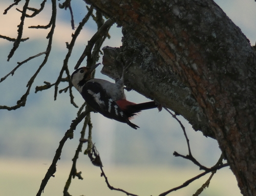
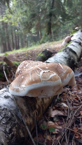
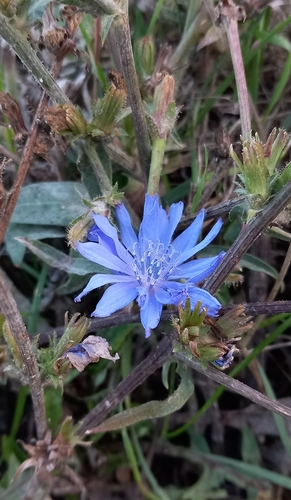
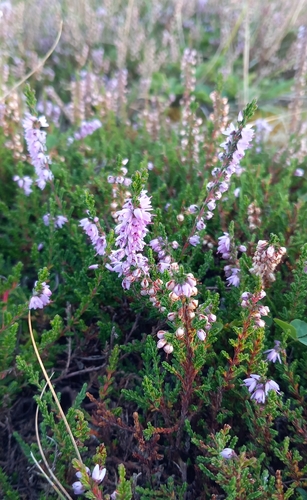
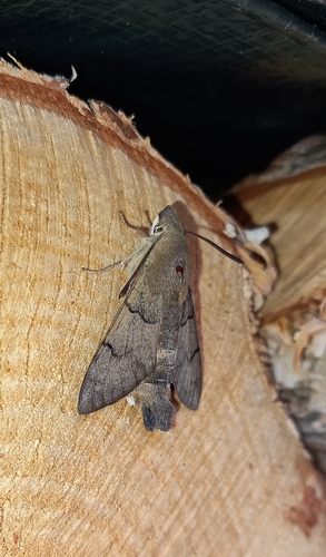
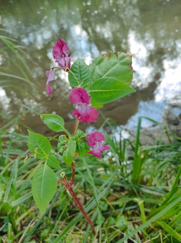
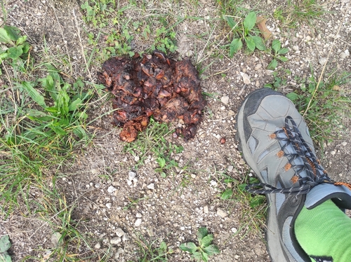
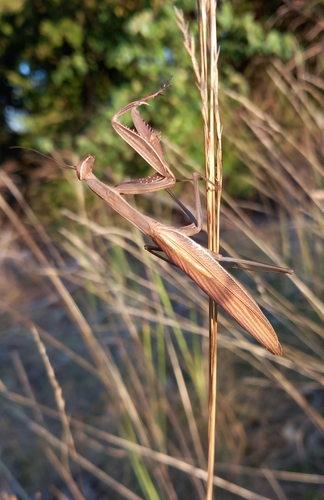
Research-grade observations from iNaturalist (within ~15 mi).
Events
Gallery
Sources
- • Wikipedia
- • Wikidata
- • iNaturalist
- • Open-Meteo / sunrise-sunset.org
- • Wikipedia Pageviews API