Browse / Slovakia / Trnava / Šamorín
Šamorín
Trnavatown

Šamorín
Total population
12,736
Founded
1287
Demographic figures from Statistical Office of Slovakia. Overview below cites Wikipedia and may reference a different year.
City facts
Facts from Wikidata (CC0).
Overview
Šamorín is a small town in western Slovakia, southeast of Bratislava.
Read more on WikipediaHistory & geography
History
The oldest artifacts indicating the settlement of the area are dated to the Neolithic and Eneolithic Period. The settlement of the location is documented also for the Bronze Age and the Iron Age. Later archaeologic research (2008) uncovered artifacts from the Early and High Middle Ages (remnants of settlements, dwellings, farm buildings). After the Mongol invasion, the village was settled by German "guests" who had the leading role in the town administration. The German minority was given a royal privilege to apply Pressburg Law (now Bratislava) and lived in the town until the end of the Middle Ages. The presence of other ethnic groups like Pechenegs and Székelys is also documented. The small Hungarian town was mentioned for the first time in 1238 as ecclesia Sancte Mariae and was a prominent port by the Danube during the Middle Ages and the market center of Rye Island. Agriculture also played a major role in the town's development. As a result of this prosperity, its citizens enjoyed a brisk trade in the new technologies and many shipyards on the Danube. However, with rise of Pressburg, the importance of the town began declining. Šamorín eventually lost its right to the status of royal free city granted in 1405 during the reign of Hungarian King Sigismund. In the sixteenth century, the city became notable again because of the witch trials held there. After the Austro-Hungarian army disintegrated in November 1918, Czechoslovak troops occupied the area, later acknowledged internationally (contested by Hungary) by the Treaty of Trianon. Between 1938 and 1945 Šamorín (Somorja) once more became a part of Hungary under Miklós Horthy through the First Vienna Award. From 1945 until the Velvet Divorce, it was part of Czechoslovakia. Since then it has been part of Slovakia.
Geography
The town is located on the Danubian Flat in the Žitný ostrov island, near the Gabčíkovo dam by the Danube around southeast of Bratislava and west of Dunajská Streda. Administratively, the town belongs to the Trnava Region, Dunajská Streda District.
Excerpted from the corresponding Wikipedia article (CC BY-SA).
Geography
Coordinates & boundaries from the US Census TIGER/Line shapefiles.
Climate
Air quality
Walkability
Amenities nearby
Wildlife & biodiversity
Most-observed species
- Great TitParus major Linnaeus, 1758 · Aves2,906
- Eurasian BlackbirdTurdus merula Linnaeus, 1758 · Aves2,747
- Hooded CrowCorvus cornix Linnaeus, 1758 · Aves2,743
- MallardAnas platyrhynchos Linnaeus, 1758 · Aves2,253
- Common Wood-PigeonColumba palumbus Linnaeus, 1758 · Aves2,244
- Common ChaffinchFringilla coelebs Linnaeus, 1758 · Aves1,801
- Eurasian Blue TitCyanistes caeruleus (Linnaeus, 1758) · Aves1,768
- Rock PigeonColumba livia J.F.Gmelin, 1789 · Aves1,711
Citizen-science & research observations from the Global Biodiversity Information Facility (GBIF).
Earthquake history
Most recent
- M 3.9 — 2026-02-2111 km ESE of Šamorín, Slovakia
- M 3.9 — 2021-04-193 km SW of Wiener Neustadt, Austria
- M 4 — 2021-03-303 km NW of Lanzenkirchen, Austria
- M 4.2 — 2016-04-253 km NNE of Heiligenkreuz, Austria
- M 3.6 — 2013-10-022 km ENE of Unterwaltersdorf, Austria
- M 4.2 — 2013-09-201 km SSW of Leithaprodersdorf, Austria
Events from the USGS Earthquake Catalog (global) (FDSN Event Web Service).
Photos
Sights & places nearby
Notable people from here
Nearby places in Trnava
- Orechová Potôň10.3 mi away · pop. 1,736
- Jelka12.1 mi away · pop. 3,958
- Križovany nad Dudváhom25.7 mi away · pop. 1,829
- Váhovce26.7 mi away · pop. 2,104
- Sokolovce42.8 mi away · pop. 1,208
- Piešťany45.3 mi away · pop. 29,587
- Panemunė526 mi away · pop. 274
- Šereitlaukis527.3 mi away · pop. 36
- Pempynė528.4 mi away · pop. 21
- Pagėgiai528.9 mi away · pop. 1,941
- Mikytai528.9 mi away · pop. 26
- Vėžininkai529 mi away · pop. 67
Geography & sun
Elevation, sunrise/sunset and daylight from Open-Meteo. Solar climatology from NASA POWER.
Nearby airports
Public attention
Pageview totals from the Wikimedia Pageviews API.
Books about this place
Recent natural events nearby
Ground air-quality sensors
Recently spotted species

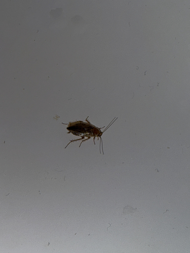
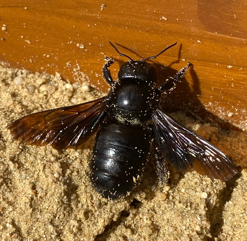
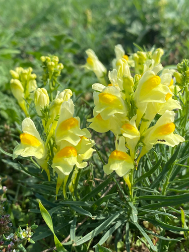
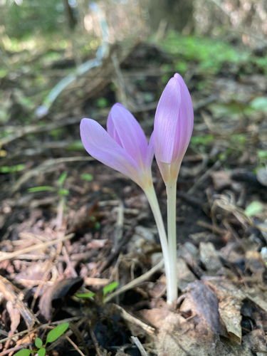
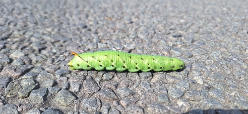
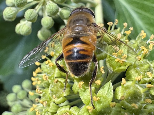
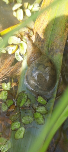
Research-grade observations from iNaturalist (within ~15 mi).
Events
Gallery
Sources
- • Wikipedia
- • Wikidata
- • USGS Earthquake Catalog (global feed)
- • GBIF (Global Biodiversity Information Facility)
- • iNaturalist
- • Open-Elevation
- • Open-Meteo / sunrise-sunset.org
- • Wikipedia Pageviews API