Browse / Slovakia / Trnava / Sereď
Sereď
Trnavatown

Sereď
Total population
17,045
Founded
1313
Demographic figures from Statistical Office of Slovakia. Overview below cites Wikipedia and may reference a different year.
City facts
Facts from Wikidata (CC0).
Overview
Sereď is a town in southern Slovakia near Trnava, on the right bank of the Váh River on the Danubian Lowland. It has approximately 15,500 inhabitants.
Read more on WikipediaHistory & geography
History
The town was first mentioned in 1313 as Zereth. In the Middle Ages, it lay on the trade route called "Bohemian Road" which ran from Buda to Prague on the right bank of the Váh river. Thanks to its location, livestock and grain markets were held in the town and thousands of cattle moved through the town each year. Its commercial importance ended in 1846, when the Pozsony-Nagyszombat (now: Bratislava-Trnava) railway was built. However, the Seredian market tradition survived and the Seredian Market and Bier festival is held every year on St. John Baptist's Day (24 June). Sered had also been a large raft port and an important waterway until 1943 when a dam was built on the river Váh at Nosice. Since rafts carried not only wood but also salt from Poland, a major salt warehouse was built and the salt authority operated here. Its good location also attracted industrial investment. In 1845, a sugar refinery, later coffee processing and baking plant was opened. In 1910, it had a population of 5371, among them 2941 Slovaks, 1943 Hungarians and 429 Germans. Until 1918, it belonged to Galánta District of Pozsony County of the Kingdom of Hungary. After the Treaty of Trianon, the town became part of Czechoslovakia in 1920. Sereď was the site of one of three labour camps for Jews established in the first Slovak Republic, a Nazi client state during World War II. The Jewish Code adopted by Slovakia in 1941 established labour camps for Jews. During the winter of 1941–1942, a team of Jewish craftsmen was sent to a military camp near Sereď to prepare the camp for Jewish labour draftees. Before the work was completed, the Slovak authorities had utilised the camp as a detention centre for Jews and as a staging ground for deportation to Poland. The Hlinka Guard, commanded by Imrich…
Geography
It is located in the Danubian Lowland on the Váh river, around south-east of Trnava, west of Nitra and around east from Bratislava. The closest mountain ranges are the Little Carpathians to the west and Považský Inovec to the north.
Excerpted from the corresponding Wikipedia article (CC BY-SA).
Geography
Coordinates & boundaries from the US Census TIGER/Line shapefiles.
Climate
Air quality
Walkability
Amenities nearby
Wildlife & biodiversity
Earthquake history
Photos
Sights & places nearby
Notable people from here


People born within ~10 km, from Wikidata (CC0). Click any name for their Wikipedia article.
Nearby places in Trnava
- Križovany nad Dudváhom4.3 mi away · pop. 1,829
- Jelka14.3 mi away · pop. 3,958
- Sokolovce17.9 mi away · pop. 1,208
- Orechová Potôň20.8 mi away · pop. 1,736
- Piešťany21.2 mi away · pop. 29,587
- Panemunė502.5 mi away · pop. 274
- Šereitlaukis503.6 mi away · pop. 36
- Pempynė504.7 mi away · pop. 21
- Vėžininkai505.3 mi away · pop. 67
- Pagėgiai505.4 mi away · pop. 1,941
- Mikytai505.4 mi away · pop. 26
- Plaškiai505.8 mi away · pop. 112
Geography & sun
Elevation, sunrise/sunset and daylight from Open-Meteo. Solar climatology from NASA POWER.
Nearby airports
Public attention
Pageview totals from the Wikimedia Pageviews API.
Books about this place
Recent natural events nearby
Ground air-quality sensors
Recently spotted species
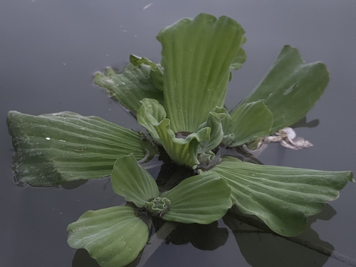
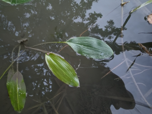
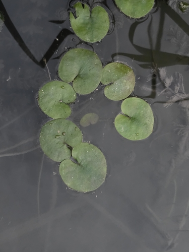

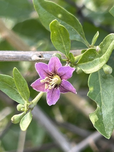

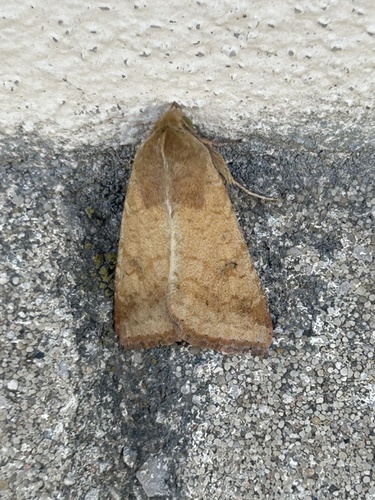
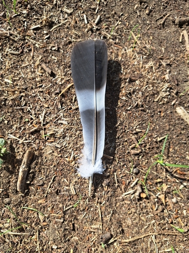

Research-grade observations from iNaturalist (within ~15 mi).
Events
Gallery
Sources
- • Wikipedia
- • Wikidata
- • iNaturalist
- • Open-Meteo / sunrise-sunset.org
- • Wikipedia Pageviews API