Browse / Slovakia / Trnava / Šoporňa
Šoporňa
Trnavavillage

Šoporňa
Total population
4,105
Founded
1251
Air quality index
Demographic figures from Statistical Office of Slovakia. Overview below cites Wikipedia and may reference a different year.
City facts
Facts from Wikidata (CC0).
Overview
Šoporňa is a village and municipality in Galanta District of the Trnava Region of south-west Slovakia.
Read more on WikipediaHistory & geography
History
In historical records the village was first mentioned in 1251, when it was called Supurni. The name is recorded as Soporny in 1411 and as Sopornok in 1420. The town became an autonomous settlement during the seventeenth century with local administrative work having its own seal. By the end of eighteenth century, it was a town with 295 houses and almost 2,000 inhabitants. Before the establishment of independent Czechoslovakia in 1918, it was part of Nyitra County within the Kingdom of Hungary.
Geography
* Argentínska * Budovateľská * Červenej armády * Československej armády * Družstevná * Dukelská * Fazuľová * Fučíkova * Gagarinova * Gottwaldova * Jana Amosa Komenského * Kapitána Nálepku * Kollárova * Krásna * Krátka * Lesná * Mierová * Mládežnícka * Mlynská * Nábrežná * Nešporova * Nitrianska * Novozámocká * Poštová * Sereďská * Slnečná * Stromová * Šaľská * Vážska * Vladimíra Iľjiča Lenina
Excerpted from the corresponding Wikipedia article (CC BY-SA).
Geography
Coordinates & boundaries from the US Census TIGER/Line shapefiles.
Climate
Air quality
Current readings from Open-Meteo Air Quality API (Copernicus CAMS European reanalysis).
Walkability
Amenities nearby
Wildlife & biodiversity
Most-observed species
- MallardAnas platyrhynchos Linnaeus, 1758 · Aves239
- Gray/Purple HeronArdea cinerea Linnaeus, 1758 · Aves223
- Mute SwanCygnus olor (J.F.Gmelin, 1789) · Aves206
- Eurasian BlackbirdTurdus merula Linnaeus, 1758 · Aves197
- Great TitParus major Linnaeus, 1758 · Aves194
- Common BuzzardButeo buteo (Linnaeus, 1758) · Aves175
- Common Wood-PigeonColumba palumbus Linnaeus, 1758 · Aves171
- Eurasian MagpiePica pica (Linnaeus, 1758) · Aves146
Citizen-science & research observations from the Global Biodiversity Information Facility (GBIF).
Earthquake history
Most recent
- M 3.9 — 2026-02-2111 km ESE of Šamorín, Slovakia
- M 2.8 — 2018-08-171 km ENE of Tren?ianske Teplice, Slovakia
- M 4.3 — 2011-01-291 km E of Kecskéd, Hungary
- M 3.6 — 2006-03-135 km NNW of Leopoldov, Slovakia
- M 3.1 — 2006-03-093 km SSW of Tren?ianske Teplice, Slovakia
- M 3 — 2004-10-147 km SSE of Pér, Hungary
Events from the USGS Earthquake Catalog (global) (FDSN Event Web Service).
Photos
Sights & places nearby
Notable people from here
Nearby places in Trnava
- Váhovce1.5 mi away · pop. 2,104
- Križovany nad Dudváhom8.9 mi away · pop. 1,829
- Jelka16.2 mi away · pop. 3,958
- Sokolovce19.6 mi away · pop. 1,208
- Orechová Potôň20.9 mi away · pop. 1,736
- Piešťany23.2 mi away · pop. 29,587
- Panemunė503.5 mi away · pop. 274
- Šereitlaukis504.5 mi away · pop. 36
- Pempynė505.6 mi away · pop. 21
- Vėžininkai506.2 mi away · pop. 67
- Pagėgiai506.4 mi away · pop. 1,941
- Mikytai506.4 mi away · pop. 26
Geography & sun
Nearby airports
Public attention
Books about this place
Recent natural events nearby
Ground air-quality sensors
Recently spotted species
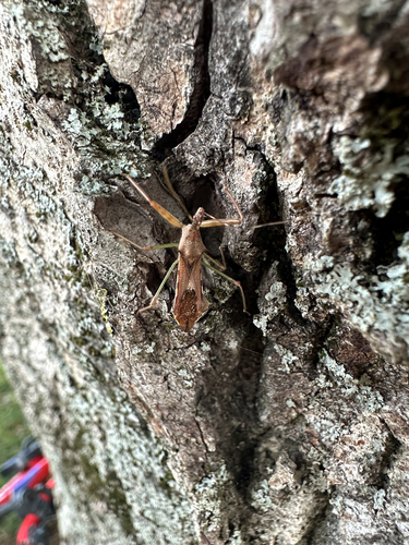
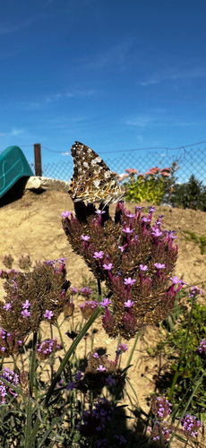
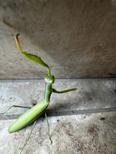
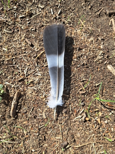
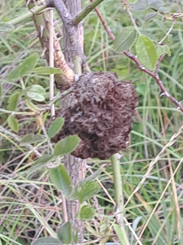
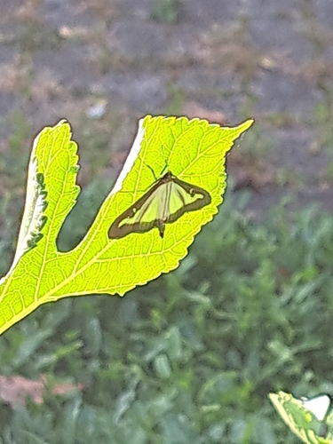
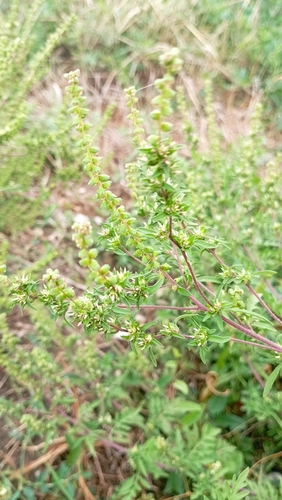
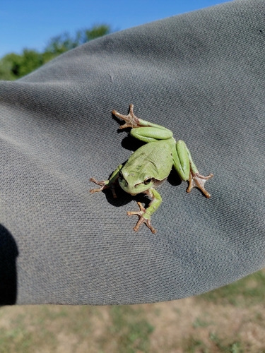
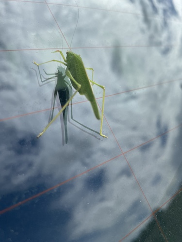
Research-grade observations from iNaturalist (within ~15 mi).
Events
Gallery
Sources
- • Wikipedia
- • Wikidata
- • Open-Meteo Air Quality (CAMS)
- • USGS Earthquake Catalog (global feed)
- • GBIF (Global Biodiversity Information Facility)
- • iNaturalist