Browse / Slovakia / Bratislava / Studienka
Studienka
Bratislavavillage

Studienka
Total population
1,629
Founded
1592
Demographic figures from Statistical Office of Slovakia. Overview below cites Wikipedia and may reference a different year.
City facts
Facts from Wikidata (CC0).
Overview
Studienka is a town and municipality in western Slovakia in Malacky District in the Bratislava region.
Read more on WikipediaHistory & geography
History
Recent discoveries indicate that the first settlements date back to the so-called La Tène culture, where the present territory was inhabited by Celtic tribes. They settled here probably as they were able to extract metals from the ores located in the northeast of today's village. Evidence of Celtic settlement was first discovered in 1980 - 1983 by a Slovak archaeologist Dr. Lev Zachar, a member of the Archaeological Institute of the Slovak National Museum, in cooperation with the locals. During this period, 18 locations were discovered, hiding various iron and bronze clips, iron spikes and parts of ceramics, which are now part of the exhibition in the Slovak National Museum. The first written mention until recently was thought to be the last part of the three-volume work of Cities and Communities of Slovakia from 1592, where the municipality is registered under its German name Hausbrun. It was previously believed that the town was founded by German-speaking settlers from Austria in the 15th century. Today, however, experts turn to the 1392 documents of Sigismund of Luxembourg, in which the Polish Duke Stibor of Stiboricz was given the Royal Wywar Castle (Holíč), together with all the properties belonging to this castle. Studienka, listed in this charter as the village of Iwanusfalua, belonged to this catchment area as the southernmost village of Holice district. In the 15th century, after the defeat of Kingdom of Hungary (1526–1867) to the Ottoman Empire in the Battle of Mohács in 1526, the area became part of the Habsburg monarchy. This marked the beginning of a new era for the area, as it received an influx of German-speaking population from Austria, resulting in its growth. There are no reliable written references to the reason for the arrival of the…
Excerpted from the corresponding Wikipedia article (CC BY-SA).
Geography
Coordinates & boundaries from the US Census TIGER/Line shapefiles.
Climate
Air quality
Walkability
Amenities nearby
Wildlife & biodiversity
Earthquake history
Photos
Sights & places nearby
Notable people from here


People born within ~10 km, from Wikidata (CC0). Click any name for their Wikipedia article.
Nearby places in Bratislava
- Rohožník4.9 mi away · pop. 3,534
- Závod4.9 mi away · pop. 2,708
- Sološnica6.1 mi away · pop. 1,544
- Veľké Leváre6.4 mi away · pop. 3,575
- Plavecké Podhradie6.4 mi away · pop. 735
- Plavecký Mikuláš7.8 mi away · pop. 714
- Malé Leváre7.8 mi away · pop. 1,129
- Malacky8.2 mi away · pop. 17,887
- Kuchyňa8.3 mi away · pop. 1,691
- Kostolište9 mi away · pop. 1,132
- Gajary10.4 mi away · pop. 2,894
- Záhorie12 mi away
Geography & sun
Elevation, sunrise/sunset and daylight from Open-Meteo. Solar climatology from NASA POWER.
Nearby airports
Public attention
Pageview totals from the Wikimedia Pageviews API.
Books about this place
Recent natural events nearby
Ground air-quality sensors
Recently spotted species
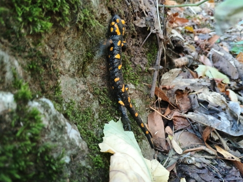
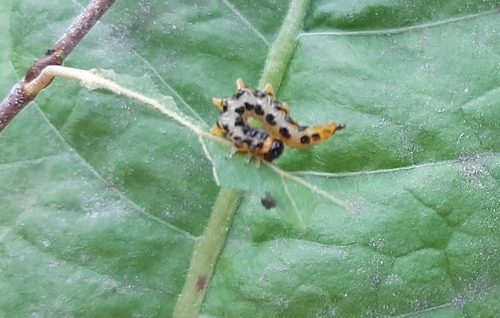
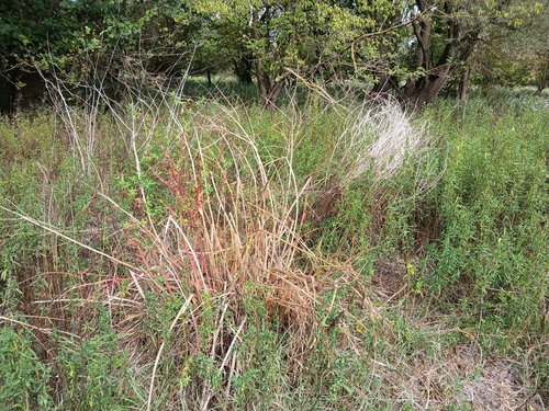
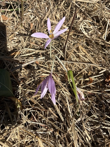
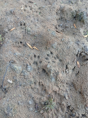
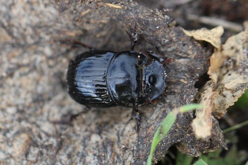
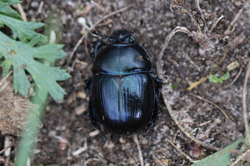
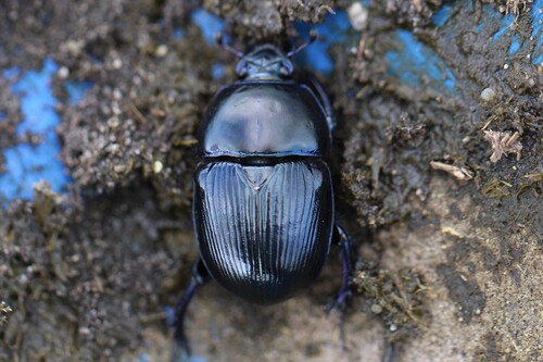
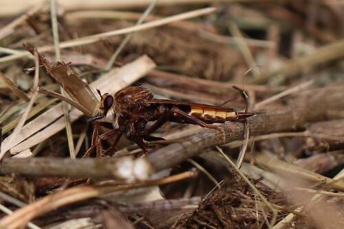
Research-grade observations from iNaturalist (within ~15 mi).
Events
Gallery
Sources
- • Wikipedia
- • Wikidata
- • iNaturalist
- • Open-Meteo / sunrise-sunset.org
- • Wikipedia Pageviews API