Browse / Slovakia / Trnava / Štvrtok na Ostrove
Štvrtok na Ostrove
Trnavavillage

Štvrtok na Ostrove
Total population
1,753
Founded
1240
Demographic figures from Statistical Office of Slovakia. Overview below cites Wikipedia and may reference a different year.
City facts
Facts from Wikidata (CC0).
Overview
Štvrtok na Ostrove is a village and municipality in the Dunajská Streda District in the Trnava Region of south-west Slovakia.
Read more on WikipediaHistory & geography
History
In the 11th century, the territory of Štvrtok na Ostrove became part of the Kingdom of Hungary. The earliest extant document about the village dates back to 1217, in which it was referred to it by its Hungarian name as Villa Ceturthuc. In the thirteenth century German settlers arrived in the village who named it Loipersdorfin. The village enjoyed Royal privilege to collect tolls and in the fifteenth century it gained the status of a town and had the right to hold markets and develop crafts and trades. Today Štvrtok na Ostrove is a basically agricultural village. Until the end of World War I, it was part of Hungary and fell within the Somorja district of Pozsony County. After the Austro-Hungarian army disintegrated in November 1918, Czechoslovak troops occupied the area. After the Treaty of Trianon of 1920, the village became officially part of Czechoslovakia. In November 1938, the First Vienna Award granted the area to Hungary and it was held by Hungary until 1945. After Soviet occupation in 1945, Czechoslovak administration returned and the village became officially part of Czechoslovakia in 1947.
Geography
The village is in the Danubian Lowland and is in the western part of Žitný ostrov (Csallóköz).
Excerpted from the corresponding Wikipedia article (CC BY-SA).
Geography
Coordinates & boundaries from the US Census TIGER/Line shapefiles.
Climate
Air quality
Walkability
Amenities nearby
Wildlife & biodiversity
Earthquake history
Photos
Sights & places nearby
Notable people from here
Nearby places in Trnava
- Jelka7.7 mi away · pop. 3,958
- Orechová Potôň10 mi away · pop. 1,736
- Križovany nad Dudváhom20.6 mi away · pop. 1,829
- Sokolovce37.7 mi away · pop. 1,208
- Piešťany40.1 mi away · pop. 29,587
- Panemunė520.7 mi away · pop. 274
- Šereitlaukis522 mi away · pop. 36
- Pempynė523.1 mi away · pop. 21
- Pagėgiai523.6 mi away · pop. 1,941
- Vėžininkai523.7 mi away · pop. 67
- Mikytai523.7 mi away · pop. 26
- Plaškiai523.9 mi away · pop. 112
Geography & sun
Elevation, sunrise/sunset and daylight from Open-Meteo. Solar climatology from NASA POWER.
Nearby airports
Public attention
Pageview totals from the Wikimedia Pageviews API.
Books about this place
Recent natural events nearby
Ground air-quality sensors
Recently spotted species
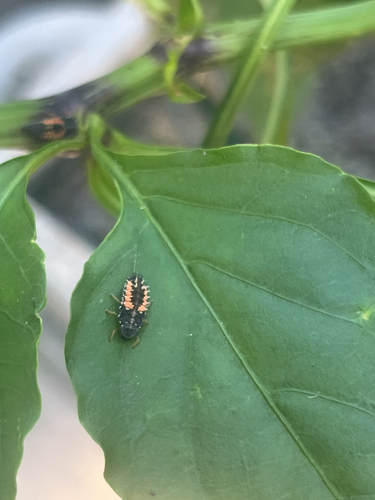
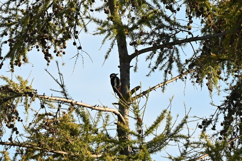
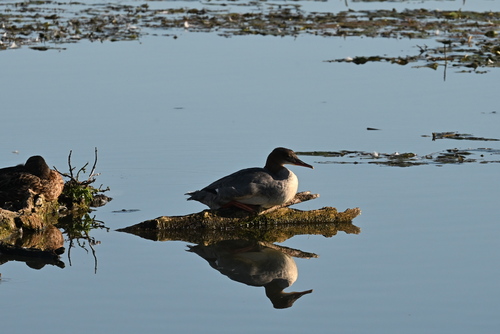
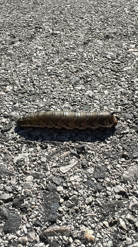
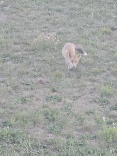
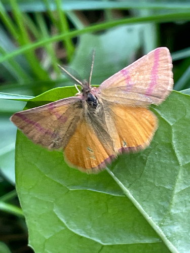
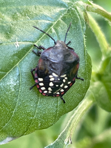
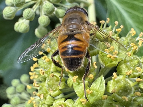
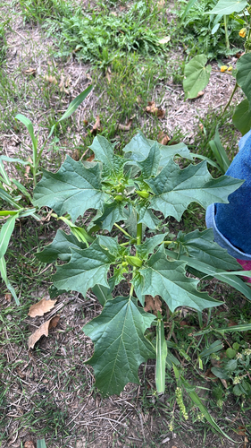
Research-grade observations from iNaturalist (within ~15 mi).
Events
Gallery
Sources
- • Wikipedia
- • Wikidata
- • iNaturalist
- • Open-Meteo / sunrise-sunset.org
- • Wikipedia Pageviews API