Browse / Slovakia / Banská Bystrica / Žiar nad Hronom
Žiar nad Hronom
Banská Bystricatown

Žiar nad Hronom
Total population
17,032
Founded
1075
Demographic figures from Statistical Office of Slovakia. Overview below cites Wikipedia and may reference a different year.
City facts
Sister cities
Facts from Wikidata (CC0).
Overview
Žiar nad Hronom is a city in Banská Bystrica Region, Slovakia.
Read more on WikipediaHistory & geography
History
The name of the settlement has gone through multiple developments. Prior to 1237, the settlement was known as a place with a toll station. In 1237, first name of the settlement emerges, as a combination of Latin and Hungarian, with the town called Cristur (later Kerestúr), which translates to The Cross of the Lord. Back then, the settlement was split between the dominions of the Šášov castle and the Benedictine Abbey of Hronský Beňadik. In 1773, the village was known as Holy Cross, in various language versions, including Latin (Sancta Crux), Hungarian (Szent Kereszt), German (Heiligs Creütz) or Slovak (Swaty Kriss). Similar names were recorded in 1808, despite minor influence caused by linguistic developments. In 1873, Hungarian name Barsszentkereszt is used, but the same changes at the turn of the 19th and 20th century into Garamszentkereszt (which translates to Holy Cross upon Hron). After the formation of the First Czechoslovak Republic, the settlement was called Svätý Kríž nad Hronom in Slovak, copying the earlier Hungarian name. Although, historically synonymous with the settlement, the name Kerestúr was used by Zemplínska Teplica in the early 20th century. In May 1953, when aluminum manufacturing and metallurgy began to flourish in the settlement, it impacted the life and the name of the city. In combination with the anti-religious sentiment of the Czechoslovak Socialist Republic, the name was changed to the current version Žiar nad Hronom, which translates to Gleam-upon-Hron. However, the German name and the Hungarian name and the German still reflect the old Slovak name. Celtic tribes had lived in the area, as documented by sizable archeologic discoveries dating to 6th century. Following the 10th century, the local population was mostly Slavic and the…
Geography
It is located in the Žiar Basin, on the Hron river, around 40 km from Banská Bystrica and 170 km from Bratislava. In addition to the main settlement, the city includes two annexed neighbourhoods: ghost village of Horné Opatovce (since 1969) and a Šášovské Podhradie, south-east of the city, annexed in 1971. The city is the administrative seat of Žiar nad Hronom District. Average year temperature is 8 °C, with frequent rainfall.
Excerpted from the corresponding Wikipedia article (CC BY-SA).
Geography
Coordinates & boundaries from the US Census TIGER/Line shapefiles.
Climate
Air quality
Walkability
Amenities nearby
Wildlife & biodiversity
Most-observed species
- BeechFagus sylvatica L. · Magnoliopsida197
- Ground-ivyGlechoma hederacea L. · Magnoliopsida121
- HornbeamCarpinus betulus L. · Magnoliopsida108
- Sycamore [tree]Acer pseudoplatanus L. · Magnoliopsida105
- Common NettleUrtica dioica L. · Magnoliopsida101
- Lady's BedstrawGalium verum L. · Magnoliopsida97
- Cypress SpurgeEuphorbia cyparissias L. · Magnoliopsida93
- Dog-roseRosa canina L. · Magnoliopsida88
Citizen-science & research observations from the Global Biodiversity Information Facility (GBIF).
Earthquake history
Most recent
- M 2.8 — 2018-08-171 km ENE of Tren?ianske Teplice, Slovakia
- M 4 — 2014-01-194 km ESE of Balassagyarmat, Hungary
- M 4.1 — 2013-06-054 km NE of Érsekvadkert, Hungary
- M 2.9 — 2007-11-186 km SSE of Rimóc, Hungary
- M 3.6 — 2006-03-135 km NNW of Leopoldov, Slovakia
- M 3.1 — 2006-03-093 km SSW of Tren?ianske Teplice, Slovakia
Events from the USGS Earthquake Catalog (global) (FDSN Event Web Service).
Photos
Sights & places nearby
Notable people from here


People born within ~10 km, from Wikidata (CC0). Click any name for their Wikipedia article.
Nearby places in Banská Bystrica
- Ladomerská Vieska1.6 mi away · pop. 787
- Lovčica-Trubín3.3 mi away · pop. 1,537
- Jastrabá4.8 mi away · pop. 574
- Repište5.2 mi away · pop. 299
- Horná Ves6.6 mi away · pop. 750
- Hronská Breznica6.9 mi away · pop. 265
- Nevoľné7 mi away · pop. 421
- Podhorie7.2 mi away · pop. 374
- Železná Breznica7.6 mi away · pop. 508
- Hrabičov9.4 mi away · pop. 618
- Žarnovica9.5 mi away · pop. 6,393
- Dubové10.8 mi away · pop. 250
Geography & sun
Elevation, sunrise/sunset and daylight from Open-Meteo. Solar climatology from NASA POWER.
Nearby airports
Public attention
Pageview totals from the Wikimedia Pageviews API.
Books about Žiar nad Hronom
Search results from Open Library.
Recent natural events nearby
Ground air-quality sensors
Recently spotted species
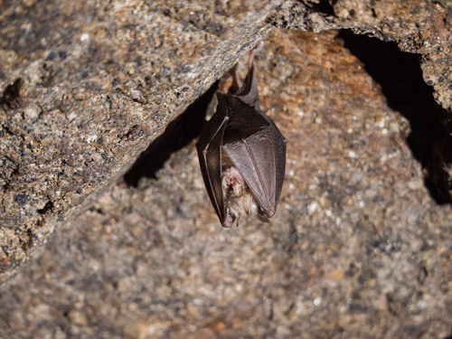
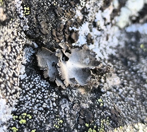
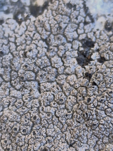
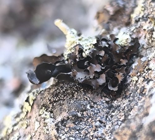
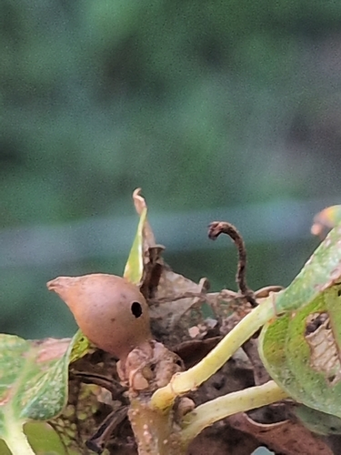
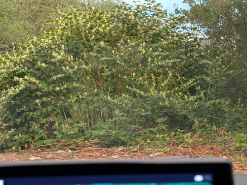
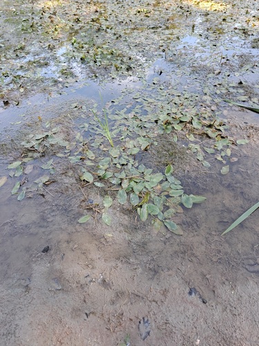


Research-grade observations from iNaturalist (within ~15 mi).
Events
Gallery
Sources
- • Wikipedia
- • Wikidata
- • USGS Earthquake Catalog (global feed)
- • GBIF (Global Biodiversity Information Facility)
- • iNaturalist
- • Open-Meteo / sunrise-sunset.org
- • Wikipedia Pageviews API
- • Open Library