Browse / Slovakia / Žilina / Zuberec
Zuberec
Žilinavillage

Zuberec
Total population
1,841
Founded
1592
Demographic figures from Statistical Office of Slovakia. Overview below cites Wikipedia and may reference a different year.
City facts
Facts from Wikidata (CC0).
Overview
Zuberec is a village in northern Slovakia and a popular tourist center at the foothills of the Western Tatras. Zuberec features numerous accommodation facilities, restaurants, museum and a tourist information office.
Read more on WikipediaHistory & geography
History
Zuberec was founded in 1593, when the village was known as Zwberczyc, by shepherds and farmers under Vlach colonization law Lex Antiqua Valachorum. It was subordinate, like the surrounding villages, to the Orava Castle. The village ceased to exist because of the Bocskay uprising, but it was later re-colonized. In 1683 it was devastated by the soldiers of the Polish–Lithuanian Commonwealth. Zuberec contains the neo-Gothic Church of Saint Vendelin built in the 1930s according to project of Milan Michal Harminec. At that time, Zuberec did not contain a church and there were space issues in the church in nearby village Habovka. Its founding stone was laid down in 1929 and the church was consecrated in 1933 by the catholic priest Andrej Hlinka. There are relics of Saint Vendelin housed here. There is a stone cross in front of the church from the year 1839. Local cemetery contains gravestones featuring folklore stone reliefs from the end of the 19th century.
Geography
Zuberec is situated in the Tvrdošín District of the Žilina Region. Historically, it was part of the Orava region. The village lies at an altitude of 760 metres, under the Roháče mountains. The municipality covers an area of km².
Excerpted from the corresponding Wikipedia article (CC BY-SA).
Geography
Coordinates & boundaries from the US Census TIGER/Line shapefiles.
Climate
Air quality
Walkability
Amenities nearby
Wildlife & biodiversity
Earthquake history
Photos
Sights & places nearby
Notable people from here
Nearby places in Žilina
- Habovka1.3 mi away · pop. 1,350
- Huty3.2 mi away · pop. 202
- Oravský Biely Potok3.3 mi away · pop. 630
- Zábiedovo4.2 mi away · pop. 813
- Malé Borové4.3 mi away · pop. 191
- Nižná5.5 mi away · pop. 4,048
- Tvrdošín5.8 mi away · pop. 9,401
- Brezovica5.9 mi away · pop. 1,326
- Veľké Borové6.1 mi away · pop. 73
- Krivá6.3 mi away · pop. 806
- Podbiel6.6 mi away · pop. 1,273
- Trstená6.9 mi away · pop. 7,537
Geography & sun
Elevation, sunrise/sunset and daylight from Open-Meteo. Solar climatology from NASA POWER.
Nearby airports
Public attention
Pageview totals from the Wikimedia Pageviews API.
Books about this place
Recent natural events nearby
Ground air-quality sensors
Recently spotted species
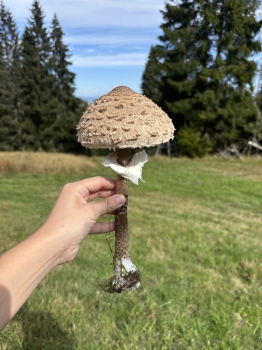

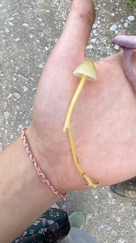
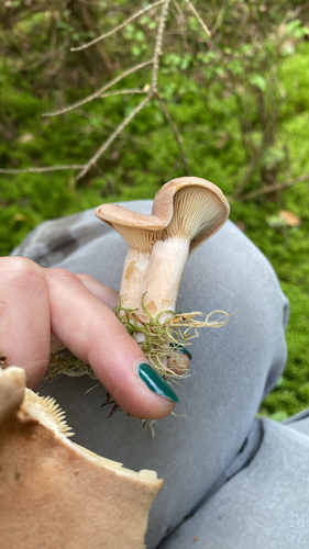


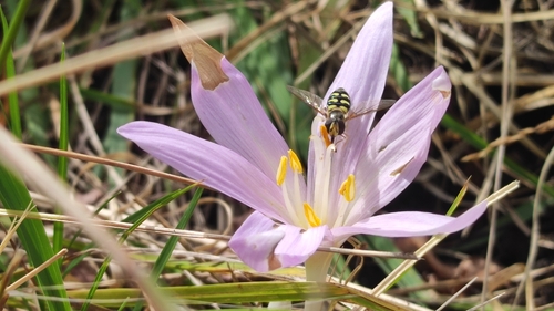
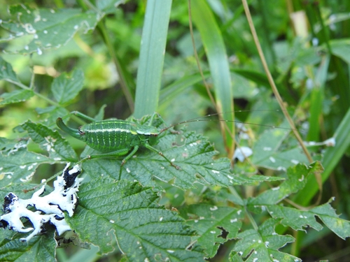
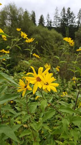
Research-grade observations from iNaturalist (within ~15 mi).
Events
Gallery
Sources
- • Wikipedia
- • Wikidata
- • iNaturalist
- • Open-Meteo / sunrise-sunset.org
- • Wikipedia Pageviews API