Browse / Somalia / Sanaag / Erigavo
Erigavo
Sanaagcity

Erigavo
Total population
190,000
Founded
1925
Air quality index
Demographic figures from Somali National Bureau of Statistics. Overview below cites Wikipedia and may reference a different year.
City facts
Facts from Wikidata (CC0).
Overview
Erigavo, also spelled as Erigabo, is a city administered by Somaliland and the largest administrative center in the Sanaag region.
Read more on WikipediaHistory & geography
History
The Erigavo settlement is several centuries old. The surrounding area was supposedly built by the Madigan Dir. Modern Erigavo was founded by the Musa Ismail sub-clan of the Habr Yunis as a home well for passing nomads and caravans. The general area is noted for its numerous historical tombs, where various Somali clan patriarchs are buried. The 1945 Sheikh Bashir Rebellion was a rebellion waged by tribesmen of the Habr Je'lo clan in the cities of Burao and Erigavo in the former British Somaliland protectorate against British authorities in July 1945 led by Sheikh Bashir, a Somali religious leader. On July the 2nd, Sheikh Bashir collected 25 of his followers in the town of Wadamago and transported them on a lorry to the vicinity of Burao, where he distributed arms to half of his followers. On the evening of July the 3rd the group entered Burao and opened fire on the police guard of the central prison in the city, which was filled with prisoners arrested for previous demonstrations. The group also attacked the house of the district commissioner of Burao District, Major Chambers, resulting in the death of Major Chamber's police guard before escaping to Bur Dhab, a strategic mountain south-east of Burao, where Sheikh Bashir's small unit occupied a fort and took up a defensive position in anticipation of a British counterattack. The British campaign against Sheikh Bashir's troops proved abortive after several defeats as his forces kept moving from place to place and avoiding any permanent location. No sooner had the expedition left the area, than the news traveled fast among the Somali nomads across the plain. The war had exposed the British administration to humiliation. The government came to a conclusion that another expedition against him would be useless; that they…
Geography
to the north of the town are remnant juniper woodlands that form part of the northern escarpment forests fringing the Sanaag highlands, within the Somali montane xeric woodlands ecoregion. The escarpment forms a sharp drop to the Gulf of Aden coastal plain, reaching around in elevation before descending toward the coast, a pattern typical of the northern ranges where upland catchments drain to the Gulf. to the west, the massif rises to Shimbiris (Mount Shimbiris), the highest point in Somaliland at about above sea level. A road from Erigavo also leads onto the Daallo plateau/Daallo escarpment, part of a long-recognized forest belt; the Daallo Important Bird Area supports evergreen forest dominated by Juniperus procera and Olea on the rocky scarp. The nearby ancient coastal settlement of Heis (Xiis) has been the subject of recent archaeological missions documenting its role in Red Sea trade networks. Erigavo's uplands and the Daallo–Shimbiris escarpment host characteristic fauna of the North Somali mountains. Avifauna of conservation interest includes the endemic Warsangli linnet and other high-elevation species recorded in juniper woodland around Daallo. Under the Köppen climate classification, the Erigavo highlands have a mild semi-arid regime shaped by elevation, with warm days and cool to cold nights and without extreme heat typical of lowland arid zones; seasonal rainfall follows the Gu (April–June) and Deyr (October–November) peaks common to northern Somalia/Somaliland. Station data compiled by the Deutscher Wetterdienst (DWD) indicate long-term average annual precipitation of about at Erigavo, with the wettest months in the main rains and very dry conditions in boreal winter; temperatures are equable year-round and sub-zero minima have been observed in…
Excerpted from the corresponding Wikipedia article (CC BY-SA).
Geography
Coordinates & boundaries from the US Census TIGER/Line shapefiles.
Climate
Air quality
Current readings from Open-Meteo Air Quality API (Copernicus CAMS European reanalysis).
Walkability
Amenities nearby
Wildlife & biodiversity
Most-observed species
- Somali ThrushTurdus ludoviciae (Lort Phillips, 1895) · Aves13
- Somali StarlingOnychognathus blythii (Hartlaub, 1859) · Aves12
- Brown Woodland-WarblerPhylloscopus umbrovirens (Rüppell, 1840) · Aves10
- Common BulbulPycnonotus barbatus (Desfontaines, 1789) · Aves9
- Brown-rumped SeedeaterCrithagra tristriata (Rüppell, 1840) · Aves9
- Pale Crag MartinPtyonoprogne obsoleta (Cabanis, 1850) · Aves8
- Shining SunbirdCinnyris habessinicus (Hemprich & Ehrenberg, 1828) · Aves8
- Hemprich's HornbillLophoceros hemprichii (Ehrenberg, 1833) · Aves8
Citizen-science & research observations from the Global Biodiversity Information Facility (GBIF).
Earthquake history
Events from the USGS Earthquake Catalog (global) (FDSN Event Web Service).
Photos
Sights & places nearby
Notable people from here


People born within ~10 km, from Wikidata (CC0). Click any name for their Wikipedia article.
Nearby places in Sanaag
Geography & sun
Elevation, sunrise/sunset and daylight from Open-Meteo. Solar climatology from NASA POWER.
Nearby airports
Public attention
Pageview totals from the Wikimedia Pageviews API.
Books about this place
Recent natural events nearby
Ground air-quality sensors
Recently spotted species
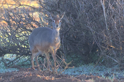
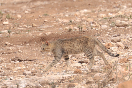
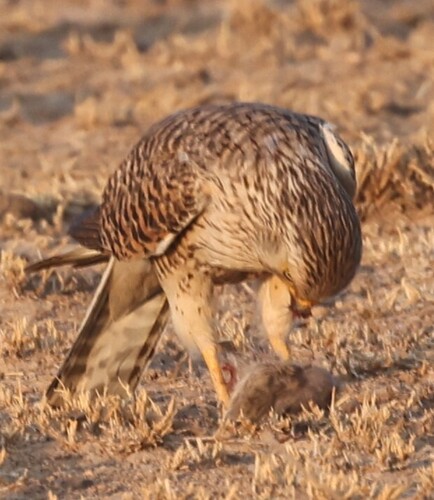
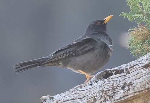
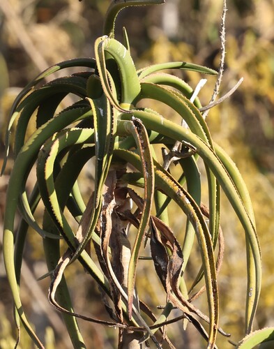
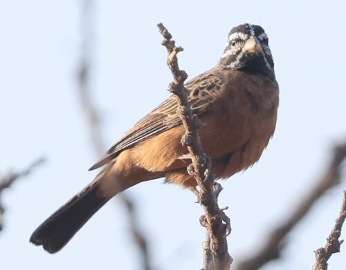
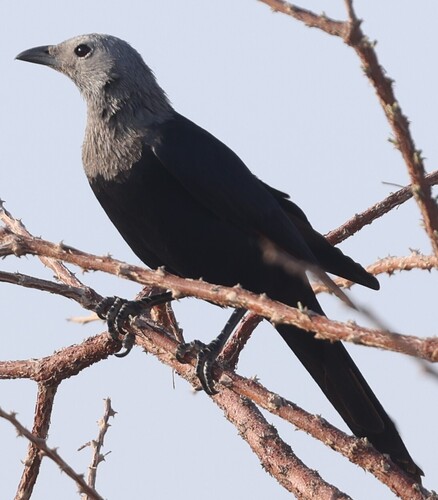
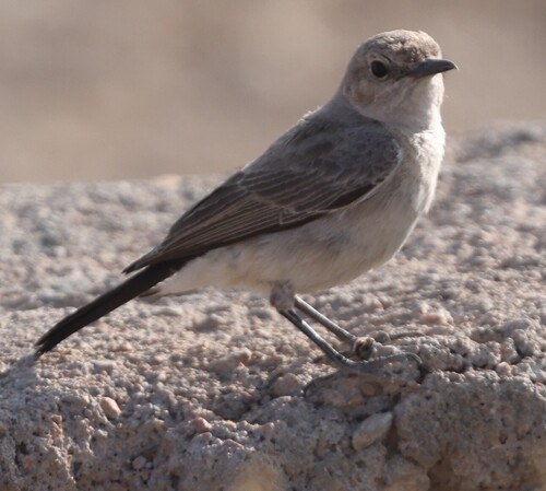
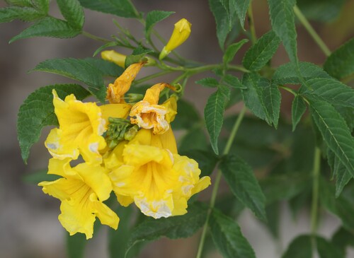
Research-grade observations from iNaturalist (within ~15 mi).
Events
Gallery
Sources
- • Wikipedia
- • Wikidata
- • Open-Meteo Air Quality (CAMS)
- • USGS Earthquake Catalog (global feed)
- • GBIF (Global Biodiversity Information Facility)
- • iNaturalist
- • Open-Meteo / sunrise-sunset.org
- • Wikipedia Pageviews API