Browse / Thailand / Surat Thani / Ban Na Doem
Ban Na Doem
Surat Thanitown
Air quality index
Demographic figures from National Statistical Office of Thailand. Overview below cites Wikipedia and may reference a different year.
City facts
Overview
Ban Na Doem sits in Surat Thani, Thailand and is identified as a town. No reliable population estimate is published for this entry in the open data we rely on. On the world map it falls within the Eastern Hemisphere, specifically at 8.888°, 99.312°. Open solar datasets indicate about 1,748 kWh/m² of solar irradiance per year, combined with sunshine for roughly 68% of daylight hours. Climatically, locations at this latitude tend to experience hot and humid year-round with little seasonal temperature variation. Continue scrolling for population, climate, environmental and points-of-interest data drawn from public sources.
Summary composed automatically from structured open data on this page. See our Terms for details.
History & geography
Geography
Coordinates & boundaries from the US Census TIGER/Line shapefiles.
Climate
Air quality
Current readings from Open-Meteo Air Quality API (Copernicus CAMS European reanalysis).
Walkability
Amenities nearby
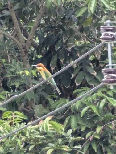
Wildlife & biodiversity
Most-observed species
- Common MynaAcridotheres tristis (Linnaeus, 1766) · Aves41
- Spotted doveSpilopelia chinensis (Scopoli, 1786) · Aves33
- White-throated KingfisherHalcyon smyrnensis (Linnaeus, 1758) · Aves27
- Ayeyarwady BulbulPycnonotus blanfordi Jerdon, 1862 · Aves25
- Oriental Magpie-RobinCopsychus saularis (Linnaeus, 1758) · Aves23
- Greater CoucalCentropus sinensis (Stephens, 1815) · Aves21
- Asian OpenbillAnastomus oscitans (Boddaert, 1783) · Aves20
- Lineated BarbetPsilopogon lineatus (Vieillot, 1816) · Aves20
Citizen-science & research observations from the Global Biodiversity Information Facility (GBIF).
Earthquake history
Events from the USGS Earthquake Catalog (global) (FDSN Event Web Service).
Photos
Sights & places nearby
Notable people from here
People born within ~10 km, from Wikidata (CC0). Click any name for their Wikipedia article.
Nearby places in Surat Thani
Geography & sun
Elevation, sunrise/sunset and daylight from Open-Meteo. Solar climatology from NASA POWER.
Nearby airports
Public attention
Books about this place
Recent natural events nearby
Ground air-quality sensors
Recently spotted species
Research-grade observations from iNaturalist (within ~15 mi).
Events
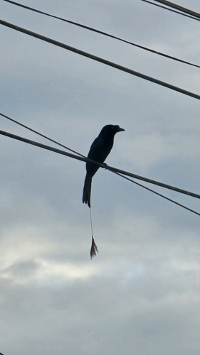
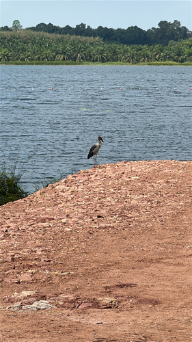
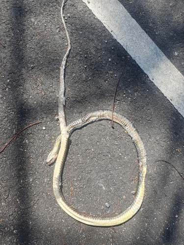
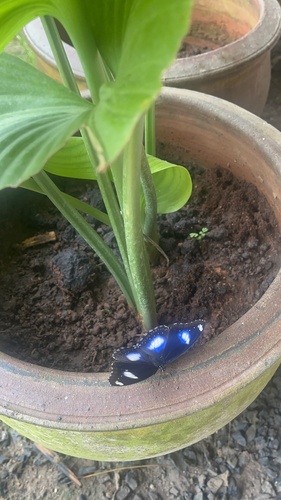
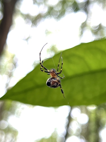
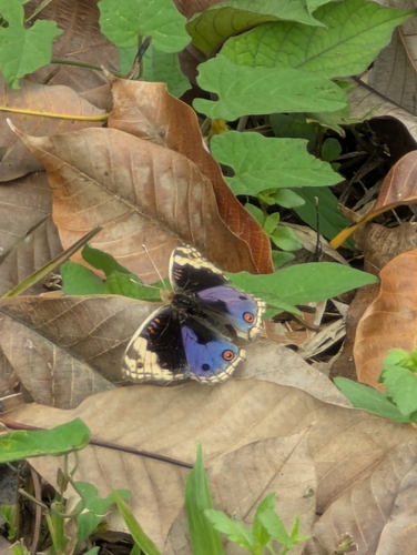
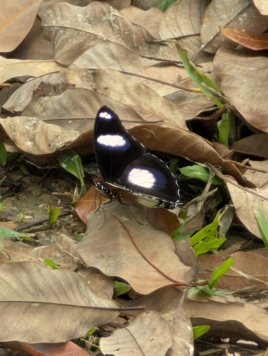
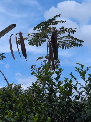
Gallery
Geotagged photos within ~6 miles of Ban Na Doem, from Wikimedia Commons contributors.


.jpg)


Photos via Wikimedia Commons — see each image page for license & attribution.
Sources
- • Wikimedia Commons
- • Wikidata
- • Open-Meteo Air Quality (CAMS)
- • USGS Earthquake Catalog (global feed)
- • GBIF (Global Biodiversity Information Facility)
- • iNaturalist
- • Open-Meteo / sunrise-sunset.org