Browse / Thailand / Surat Thani / Phra Saeng
Phra Saeng
Surat Thanitown

Phra Saeng
Air quality index
Demographic figures from National Statistical Office of Thailand. Overview below cites Wikipedia and may reference a different year.
City facts
Overview
Phraseang is a district (amphoe) of Surat Thani province, Thailand.
Read more on WikipediaHistory & geography
Geography
Coordinates & boundaries from the US Census TIGER/Line shapefiles.
Climate
Air quality
Current readings from Open-Meteo Air Quality API (Copernicus CAMS European reanalysis).
Walkability
Amenities nearby
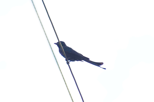
Wildlife & biodiversity
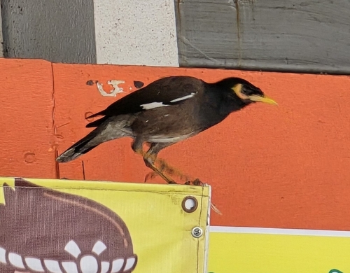
Most-observed species
- Common MynaAcridotheres tristis (Linnaeus, 1766) · Aves4
- Spotted doveSpilopelia chinensis (Scopoli, 1786) · Aves4
- Large-billed CrowCorvus macrorhynchos Wagler, 1827 · Aves3
- Pacific SwallowHirundo javanica Sparrman, 1789 · Aves2
- Indochinese RollerCoracias affinis Horsfield, 1840 · Aves2
- Black-shouldered KiteElanus caeruleus (Desfontaines, 1789) · Aves2
- Oriental Magpie-RobinCopsychus saularis (Linnaeus, 1758) · Aves2
- Asian KoelEudynamys scolopaceus (Linnaeus, 1758) · Aves2
Citizen-science & research observations from the Global Biodiversity Information Facility (GBIF).
Earthquake history
Most recent
- M 4.2 — 2015-05-0519 km SE of Ban Phru Nai, Thailand
- M 3.9 — 2012-04-1619 km E of Ban Mai Khao, Thailand
Events from the USGS Earthquake Catalog (global) (FDSN Event Web Service).
Photos
Sights & places nearby
Notable people from here
Nearby places in Surat Thani
Geography & sun
Elevation, sunrise/sunset and daylight from Open-Meteo. Solar climatology from NASA POWER.
Nearby airports
Public attention
Pageview totals from the Wikimedia Pageviews API.
Books about Phra Saeng
Search results from Open Library.
Recent natural events nearby
Ground air-quality sensors
Recently spotted species
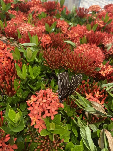
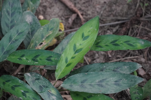
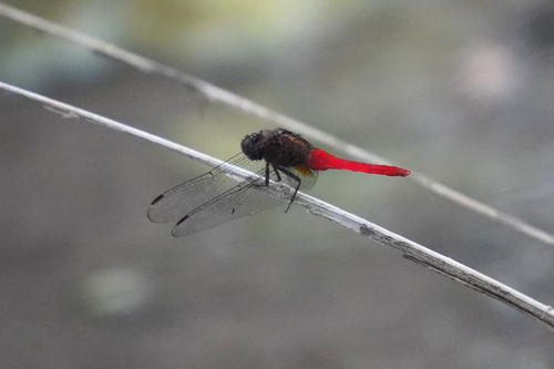
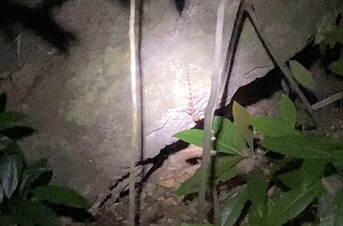
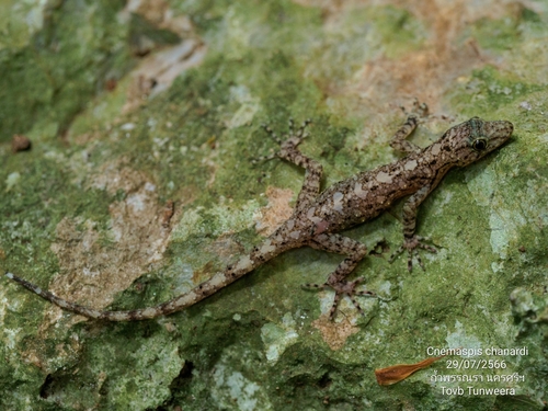
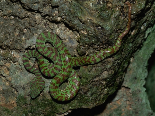
Research-grade observations from iNaturalist (within ~15 mi).
Events
Gallery
Geotagged photos within ~6 miles of Phra Saeng, from Wikimedia Commons contributors.


Photos via Wikimedia Commons — see each image page for license & attribution.
Sources
- • Wikipedia
- • Wikimedia Commons
- • Wikidata
- • Open-Meteo Air Quality (CAMS)
- • USGS Earthquake Catalog (global feed)
- • GBIF (Global Biodiversity Information Facility)
- • iNaturalist
- • Open-Meteo / sunrise-sunset.org
- • Wikipedia Pageviews API
- • Open Library