Browse / Thailand / Pattani / Bang Pu
Bang Pu
Pattanitown
Air quality index
Demographic figures from National Statistical Office of Thailand. Overview below cites Wikipedia and may reference a different year.
City facts
Overview
As a town in Pattani, Thailand, Bang Pu occupies its own corner of the country. No reliable population estimate is published for this entry in the open data we rely on. Its coordinates of 6.871°, 101.350° place it in the equatorial zone of the northern hemisphere. Local weather statistics describe average highs near 86.9°F and lows near 75.4°F, alongside about 95.5 in of annual precipitation (a very wet total). The latitude suggests hot and humid year-round with little seasonal temperature variation. The location receives about 1,810 kWh/m² of solar irradiance per year and sunshine for roughly 71% of daylight hours. Further detail — demographics, climate, nearby amenities and natural-hazard data — is compiled below from public open-data sources.
Summary composed automatically from structured open data on this page. See our Terms for details.
History & geography
Geography
Coordinates & boundaries from the US Census TIGER/Line shapefiles.
Climate
10-year averages from ERA5 reanalysis (Open-Meteo).
Air quality
Current readings from Open-Meteo Air Quality API (Copernicus CAMS European reanalysis).
Walkability
Amenities nearby
Wildlife & biodiversity
Most-observed species
- Little Egret/Western Reef-HeronEgretta garzetta (Linnaeus, 1766) · Aves514
- White-nest SwiftletAerodramus fuciphagus (Thunberg, 1812) · Aves505
- Zebra DoveGeopelia striata (Linnaeus, 1766) · Aves447
- Little CormorantMicrocarbo niger (Vieillot, 1817) · Aves446
- Yellow-vented BulbulPycnonotus goiavier (Scopoli, 1786) · Aves414
- Common MynaAcridotheres tristis (Linnaeus, 1766) · Aves373
- Black-winged StiltHimantopus himantopus (Linnaeus, 1758) · Aves373
- Great EgretArdea alba Linnaeus, 1758 · Aves358
Citizen-science & research observations from the Global Biodiversity Information Facility (GBIF).
Earthquake history
Events from the USGS Earthquake Catalog (global) (FDSN Event Web Service).
Photos
Sights & places nearby
Notable people from here
People born within ~10 km, from Wikidata (CC0). Click any name for their Wikipedia article.
Nearby places in Pattani
Geography & sun
Elevation, sunrise/sunset and daylight from Open-Meteo. Solar climatology from NASA POWER.
Nearby airports
Public attention
Books about this place
Recent natural events nearby
Ground air-quality sensors
Recently spotted species
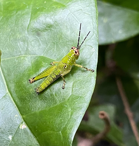
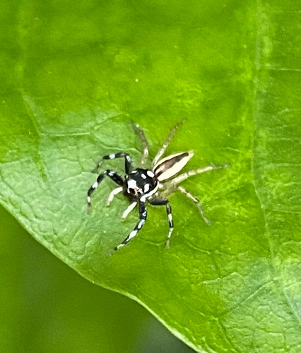
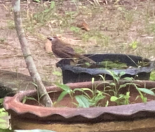

Research-grade observations from iNaturalist (within ~15 mi).
Events
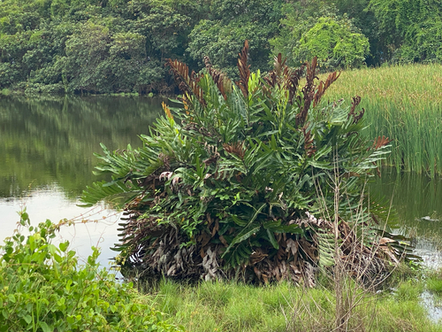
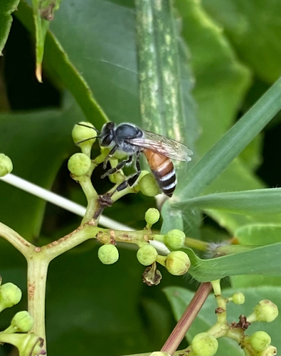
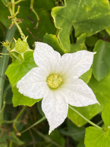
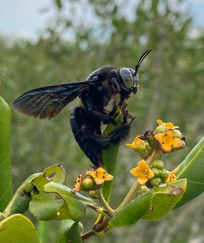
Gallery
Geotagged photos within ~6 miles of Bang Pu, from Wikimedia Commons contributors.


.jpg)

Photos via Wikimedia Commons — see each image page for license & attribution.
Sources
- • Open-Meteo (ERA5 reanalysis)
- • Wikimedia Commons
- • Wikidata
- • Open-Meteo Air Quality (CAMS)
- • USGS Earthquake Catalog (global feed)
- • GBIF (Global Biodiversity Information Facility)
- • iNaturalist
- • Open-Meteo / sunrise-sunset.org