Browse / Thailand / Pattani / Dusong Payae
Dusong Payae
Pattanitown
Air quality index
Demographic figures from National Statistical Office of Thailand. Overview below cites Wikipedia and may reference a different year.
City facts
Overview
Dusong Payae is a town located in Pattani, Thailand. Geographically it lies in the northern hemisphere at a equatorial latitude (6.805°, 101.453°). Detailed population figures are not currently catalogued in the open data sources we track. Climatically, locations at this latitude tend to experience hot and humid year-round with little seasonal temperature variation. The location receives about 1,810 kWh/m² of solar irradiance per year and sunshine for roughly 71% of daylight hours. The sections below expand on demographics, weather, terrain, hazards and nearby points of interest using publicly available datasets.
Summary composed automatically from structured open data on this page. See our Terms for details.
History & geography
Geography
Coordinates & boundaries from the US Census TIGER/Line shapefiles.
Climate
Air quality
Current readings from Open-Meteo Air Quality API (Copernicus CAMS European reanalysis).
Walkability
Amenities nearby
Wildlife & biodiversity
Earthquake history
Events from the USGS Earthquake Catalog (global) (FDSN Event Web Service).
Photos
Sights & places nearby
Notable people from here
People born within ~10 km, from Wikidata (CC0). Click any name for their Wikipedia article.
Nearby places in Pattani
Geography & sun
Elevation, sunrise/sunset and daylight from Open-Meteo. Solar climatology from NASA POWER.
Nearby airports
Public attention
Books about this place
Recent natural events nearby
Ground air-quality sensors
Recently spotted species
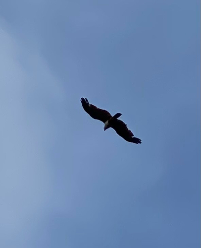
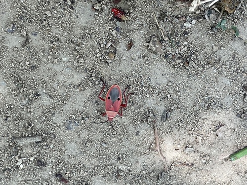
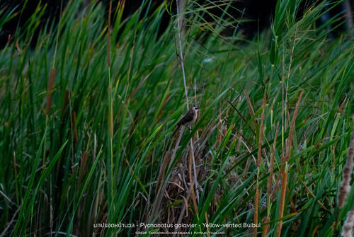
Research-grade observations from iNaturalist (within ~15 mi).
Events
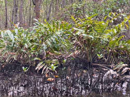
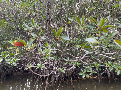
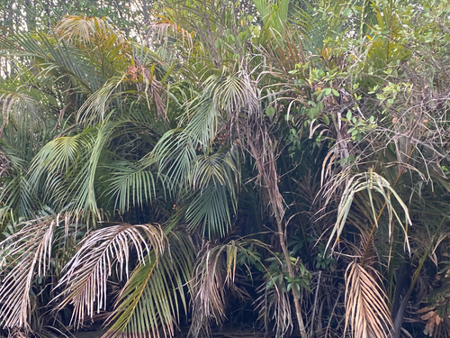
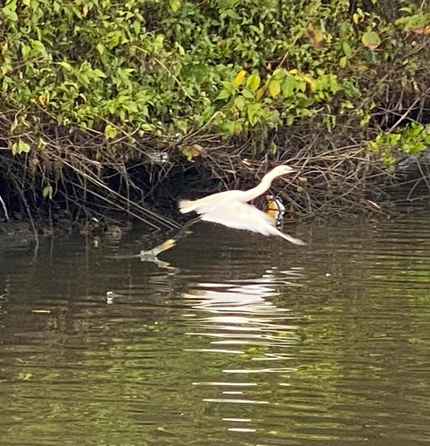
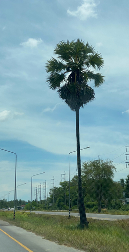
Gallery
Geotagged photos within ~6 miles of Dusong Payae, from Wikimedia Commons contributors.
 3.2 mi
 3.2 mi
 3.2 mi
 3.2 mi
 3.3 mi
 3.4 mi
 3.4 mi
 3.4 mi
 3.6 mi
.jpg) 3.6 mi
3.6 mi 3.6 mi
.jpg) 3.7 mi
3.7 mi 3.7 mi
 4.1 mi
.jpg) 4.3 mi
4.3 mi.jpg) 4.5 mi
4.5 mi.jpg) 4.5 mi
4.5 mi.jpg) 4.6 mi
4.6 mi.jpg) 4.7 mi
4.7 mi.jpg) 4.7 mi
4.7 mi.jpg) 4.7 mi
4.7 mi.jpg) 5.2 mi
5.2 mi 5.4 mi
.jpg) 5.4 mi
5.4 miPhotos via Wikimedia Commons — see each image page for license & attribution.
Sources
- • Wikimedia Commons
- • Wikidata
- • Open-Meteo Air Quality (CAMS)
- • USGS Earthquake Catalog (global feed)
- • iNaturalist
- • Open-Meteo / sunrise-sunset.org