Browse / Thailand / Chonburi / Chao Phraya Surasak
Chao Phraya Surasak
Chonburicity
Total population
160,582
Air quality index
Demographic figures from National Statistical Office of Thailand. Overview below cites Wikipedia and may reference a different year.
City facts
Facts from Wikidata (CC0).
Overview
Chaophraya Surasak is a city in Chonburi Province, Thailand. It was established as a sanitary district in 1967. In 1999, all sanitary districts were upgraded to subdistrict municipalities. In 2013 it was upgraded to a city municipality. As of 2022, it has a population of 153,687. The city covers parts of five subdistricts (tambon) of Si Racha District, the ninth-largest urban city area in Thailand. The city is named after Chaophraya Surasakmontri.
Read more on WikipediaHistory & geography
History
Originally named Ao Udom became a sanitation (Sukhaphiban) on 12 December 1967, which covered parts of subdistricts Thung Sukhla and Surasak, Si Racha district, Chonburi province. Later on 6 October 1970 it was enlarged with subdistrict Nong Kham, Bueng district and area of subdistrict Thung Sukhla. On 24 December 1991 the area has been enlarged again and contains five subdistricts, Surasak, Nong Kham, Bueng, Bo Win and Kha Khan Song. The sanitation changed to subdistrict municipality (thesaban tambon) on 24 February 1999, effectively on 25 May 1999. The name changed to Chaophraya Surasak subdistrict municipality on 23 July 2002. The status was upgraded to Chaophraya Surasak city municipality (thesaban nakhon) on 9 April 2013, effectively on 1 May 2013, while the total area was reduced from .
Geography
Chaophraya Surasak city municipality (thesaban nakhon) with a total area of 276.98 km2 is located on the east coast of Gulf of Thailand. It is about 40 kilometers from Chonburi and 120 kilometers from Bangkok. Chaophraya Surasak borders to the north: subdistricts (tambon) Bang Phra and Nong Kham, district (amphoe) Si Racha, province Chonburi, east: subdistrict Khlon Kio, district Ban Bueng and subdistricts Khao Khan Song and Bo Win, district Si Racha, province Chonburi, south: subdistrict Takhian Tia, district Bang Lamung, province Chonburi, west: Laem Chabang city municipality and Si Racha town municipality (thesaban mueang), district Si Racha, province Chonburi and the Bay of Bangkok. In the east of the Chaophraya Surasak municipality is the Khao Khiao mountain range. The foothills alternate with plains to the sea. There is one wildlife sanctuary in Khao Khan Song subdistrict: Khao Khiao - Khao Chomphu Wildlife Sanctuary, 145 km2 (56 sq.mi.) Chaophraya Surasak city has a tropical savanna climate (Köppen climate classification category Aw). Winters are dry and warm. Temperatures rise until May. Mansoon season runs from May through October, with heavy rain and somewhat cooler temperatures during the day, although nights remain warm. Weather station Laem Chabang, climate data from 1981 to 2010: The maximum temperature is 39.0 °C (102.2 °F) in January and the minimum temperature is 14.0 °C (57.2 °F) in December. The maximum average temperature is 33.3 °C (91.9 °F) in April and the minimum average temperature is 22.0 °C (71.6 °F) in December. Annual rainfall is 1,151 millimeter (45.3 inch) and in January was for 24 hour the rainfall 176.5 millimeter (7 inch). There are three water reservoirs: * Huai Nong Kho, capacity 21,400,000…
Excerpted from the corresponding Wikipedia article (CC BY-SA).
Geography
Coordinates & boundaries from the US Census TIGER/Line shapefiles.
Climate
Air quality
Current readings from Open-Meteo Air Quality API (Copernicus CAMS European reanalysis).
Walkability
Amenities nearby
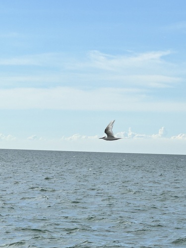
Wildlife & biodiversity
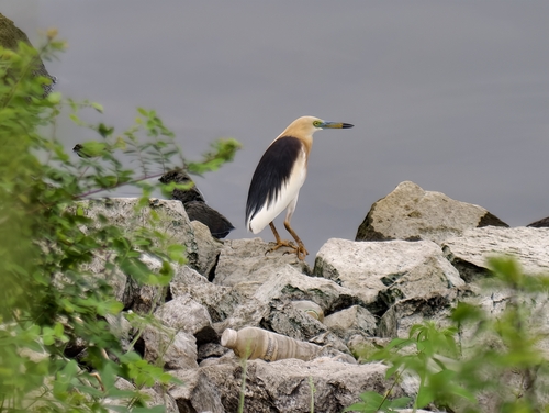
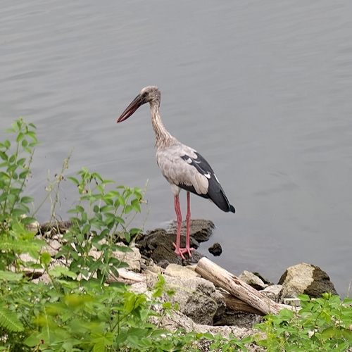
Most-observed species
- Common MynaAcridotheres tristis (Linnaeus, 1766) · Aves531
- Great MynaAcridotheres grandis Moore, 1858 · Aves523
- Zebra DoveGeopelia striata (Linnaeus, 1766) · Aves487
- Lineated BarbetPsilopogon lineatus (Vieillot, 1816) · Aves476
- Greater Racket-tailed DrongoDicrurus paradiseus (Linnaeus, 1766) · Aves467
- White-nest SwiftletAerodramus fuciphagus (Thunberg, 1812) · Aves449
- Asian KoelEudynamys scolopaceus (Linnaeus, 1758) · Aves440
- Red-wattled LapwingVanellus indicus (Boddaert, 1783) · Aves432
Citizen-science & research observations from the Global Biodiversity Information Facility (GBIF).
Earthquake history
Events from the USGS Earthquake Catalog (global) (FDSN Event Web Service).
Photos
Sights & places nearby
Notable people from here

People born within ~10 km, from Wikidata (CC0). Click any name for their Wikipedia article.
Nearby places in Chonburi
- Laem Chabang5.6 mi away
- Si Racha5.7 mi away · pop. 23,400
- Bang Phra7.3 mi away
- Bang Lamung8.4 mi away
- Bang Saen12.4 mi away · pop. 42,843
- Ko Si Chang13 mi away
- Nong Prue13.1 mi away
- Na Kluea13.4 mi away
- Hua Kunchae13.6 mi away
- Samet14.5 mi away
- Pattaya15 mi away · pop. 119,532
- Ban Bueng15 mi away · pop. 18,606
Geography & sun
Elevation, sunrise/sunset and daylight from Open-Meteo. Solar climatology from NASA POWER.
Nearby airports
Public attention
Pageview totals from the Wikimedia Pageviews API.
Books about this place
Recent natural events nearby
Ground air-quality sensors
Recently spotted species
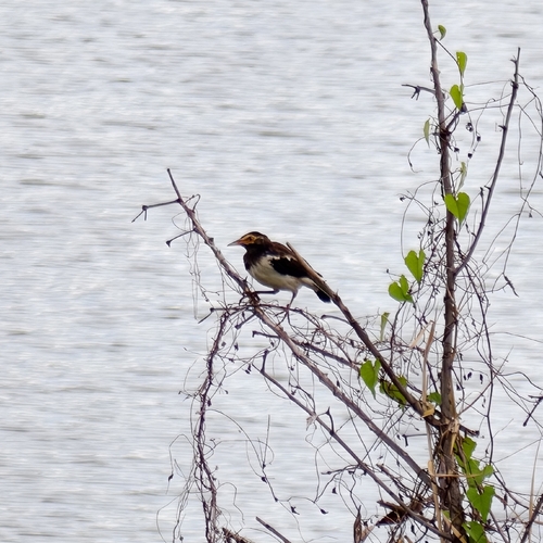
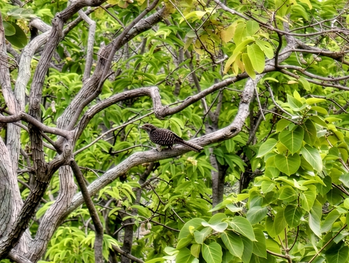
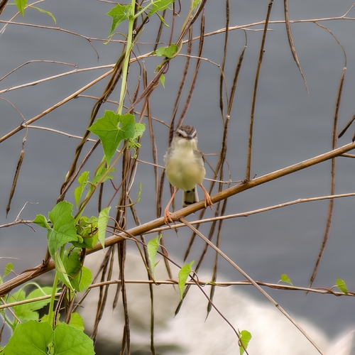

Research-grade observations from iNaturalist (within ~15 mi).
Events
Gallery
Geotagged photos within ~6 miles of Chao Phraya Surasak, from Wikimedia Commons contributors.
 0.9 mi
 0.9 mi
 1.7 mi
.jpg) 1.8 mi
1.8 mi.jpg) 1.8 mi
1.8 mi.jpg) 1.8 mi
1.8 mi.jpg) 1.8 mi
1.8 mi.jpg) 1.8 mi
1.8 mi.jpg) 1.8 mi
1.8 mi 1.9 mi
 1.9 mi
.jpg) 1.9 mi
1.9 mi 1.9 mi
 1.9 mi
 1.9 mi
 1.9 mi
 1.9 mi
 1.9 mi
 1.9 mi
.jpg) 1.9 mi
1.9 mi.jpg) 1.9 mi
1.9 mi 2 mi
2 mi.jpg) 2 mi
2 mi.jpg) 2 mi
2 miPhotos via Wikimedia Commons — see each image page for license & attribution.
Sources
- • Wikipedia
- • Wikimedia Commons
- • Wikidata
- • Open-Meteo Air Quality (CAMS)
- • USGS Earthquake Catalog (global feed)
- • GBIF (Global Biodiversity Information Facility)
- • iNaturalist
- • Open-Meteo / sunrise-sunset.org
- • Wikipedia Pageviews API