Browse / Thailand / Chonburi / Pattaya
Pattaya
Chonburicity

Pattaya
Total population
119,532
Air quality index
Demographic figures from National Statistical Office of Thailand. Overview below cites Wikipedia and may reference a different year.
City facts
Sister cities
Facts from Wikidata (CC0).
Overview
Pattaya is a city in Eastern Thailand, the second-largest city in Chonburi province and the eighth-largest city in Thailand. It is on the east coast of the Gulf of Thailand, about 150 kilometres (93 mi) southeast of Bangkok, and has a population of 351,391 as of 2025.
Read more on WikipediaHistory & geography
History
The name Pattaya evolved from the march of Phraya Tak (later King Taksin) and his army from Ayutthaya to Chanthaburi, which took place before the fall of the former capital to Burmese invaders in 1767. When his army arrived in the vicinity of what is now Pattaya, Phraya Tak encountered the troops of a local leader named Nai Klom, who tried to intercept him. When the two met face to face, Nai Klom was impressed by Phraya Tak's dignified manner and his army's strict discipline. He surrendered without a fight and joined his forces. The place the armies confronted each other was thereafter known as "Thap Phraya", which means the "army of the Phraya". Thap Phraya was later changed to Phatthaya, which means 'the wind blowing from the southwest to the northeast at the beginning of the rainy season'. Following World War II, entrepreneur Parinya Chawalitthamrong saw the potential of investing in Pattaya and donated some land to the governing administration. Pattaya City Hall would later be constructed on this land. A fishing village until the 1960s, tourism began during the Vietnam War, when American servicemen began arriving on R&R (rest and relaxation). One large group who arrived from a base in Korat on 29 June 1959 and rented houses from Phraya Sunthorn at the south end of the beach, on what is now known as the "Strip", are credited with recommending Pattaya, whose fame spread by word of mouth. On 29 November 1978, Pattaya was granted city status by the Thai government. In 1981, businessman Lek Viriyaphan began constructing on the Sanctuary of Truth which remains unfinished and is entirely made out of wood. In 2004, Nirun Wattanasartsaton became the first democratically elected mayor. In the 2008 mayoral election, Itthiphol Khunpluem became Pattaya's mayor. As mayor,…
Excerpted from the corresponding Wikipedia article (CC BY-SA).
Geography
Coordinates & boundaries from the US Census TIGER/Line shapefiles.
Climate
10-year averages from ERA5 reanalysis (Open-Meteo).
Air quality
Current readings from Open-Meteo Air Quality API (Copernicus CAMS European reanalysis).
Walkability
Amenities nearby
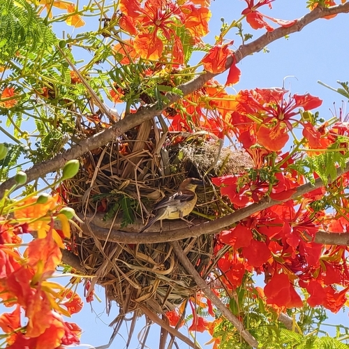
Wildlife & biodiversity
Most-observed species
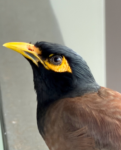
- Common MynaAcridotheres tristis (Linnaeus, 1766) · Aves776
- Zebra DoveGeopelia striata (Linnaeus, 1766) · Aves673
- Rock PigeonColumba livia J.F.Gmelin, 1789 · Aves589
- Malaysian Pied-FantailRhipidura javanica (Sparrman, 1788) · Aves564
- Asian KoelEudynamys scolopaceus (Linnaeus, 1758) · Aves562
- Great MynaAcridotheres grandis Moore, 1858 · Aves522
- Ayeyarwady BulbulPycnonotus blanfordi Jerdon, 1862 · Aves518
- Yellow-vented BulbulPycnonotus goiavier (Scopoli, 1786) · Aves517
Citizen-science & research observations from the Global Biodiversity Information Facility (GBIF).
Earthquake history
Events from the USGS Earthquake Catalog (global) (FDSN Event Web Service).
Photos
Sights & places nearby
Notable people from here


People born within ~10 km, from Wikidata (CC0). Click any name for their Wikipedia article.
Nearby places in Chonburi
Geography & sun
Elevation, sunrise/sunset and daylight from Open-Meteo. Solar climatology from NASA POWER.
Nearby airports
Public attention
Pageview totals from the Wikimedia Pageviews API.
Books about Pattaya
Search results from Open Library.
Recent natural events nearby
Ground air-quality sensors
Recently spotted species
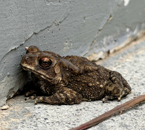
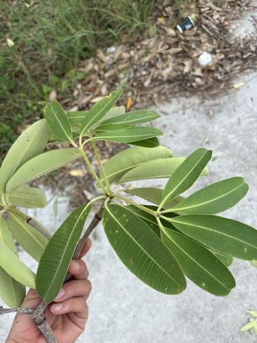
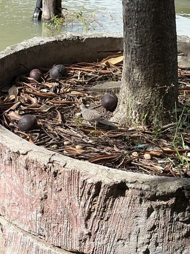
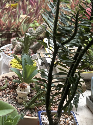
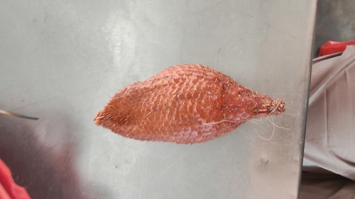
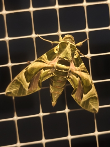
Research-grade observations from iNaturalist (within ~15 mi).
Events
Notable, recurring, and historical events associated with Pattaya, sourced from Wikidata.
- 2019 World Weightlifting Championships – Women's 45 kgSep 1, 2019sporting event
- 2019 World Weightlifting Championships – Women's 49 kgSep 1, 2019sporting event
- 2019 World Weightlifting Championships – Men's 73 kgSep 1, 2019sporting event
- 2019 World Weightlifting Championships – Women's 59 kgSep 1, 2019sporting event
- 2019 World Weightlifting Championships – Women's +87 kgSep 1, 2019sporting event
- 2019 World Weightlifting Championships – Men's +109 kgSep 1, 2019sporting event
- 2019 World Weightlifting Championships – Men's 81 kgSep 1, 2019sporting event
- 2019 World Weightlifting Championships – Women's 64 kgSep 1, 2019sporting event
- 2019 World Weightlifting Championships – Men's 89 kgSep 1, 2019sporting event
- 2019 World Weightlifting Championships – Men's 96 kgSep 1, 2019sporting event
- 2019 World Weightlifting Championships – Women's 55 kgSep 1, 2019sporting event
women's weightlifting championship
- 2019 World Weightlifting Championships – Men's 55 kgSep 1, 2019sporting event
- 2019 World Weightlifting Championships – Women's 71 kgSep 1, 2019sporting event
- 2019 World Weightlifting Championships – Women's 76 kgSep 1, 2019sporting event
- 2019 World Weightlifting Championships – Men's 102 kgSep 1, 2019sporting event
- 2019 World Weightlifting Championships – Women's 81 kgSep 1, 2019sporting event
- 2019 World Weightlifting Championships – Men's 109 kgSep 1, 2019sporting event
- 2019 World Weightlifting Championships – Women's 87 kgSep 1, 2019sporting event
- 2019 World Weightlifting Championships – Men's 67 kgSep 1, 2019sporting event
- 2019 World Weightlifting Championships – Men's 61 kgSep 1, 2019sporting event
Source: Wikidata (CC0).
Gallery
Geotagged photos within ~6 miles of Pattaya, from Wikimedia Commons contributors.
 0.1 mi
 0.1 mi
 0.1 mi
 0.1 mi
 0.1 mi
 0.1 mi
 0.1 mi
 0.1 mi
 0.1 mi
 0.1 mi
 0.1 mi
 0.1 mi
 0.1 mi
.jpg) 0.2 mi
0.2 mi.jpg) 0.2 mi
0.2 mi.jpg) 0.2 mi
0.2 mi.jpg) 0.2 mi
0.2 mi 0.2 mi
 0.2 mi
 0.2 mi
 0.2 mi
 0.2 mi
 0.2 mi
 0.2 mi
Photos via Wikimedia Commons — see each image page for license & attribution.
Sources
- • Wikipedia
- • Open-Meteo (ERA5 reanalysis)
- • Wikimedia Commons
- • Wikidata
- • Open-Meteo Air Quality (CAMS)
- • USGS Earthquake Catalog (global feed)
- • GBIF (Global Biodiversity Information Facility)
- • iNaturalist
- • Open-Elevation
- • Open-Meteo / sunrise-sunset.org
- • Wikipedia Pageviews API
- • Open Library