Browse / Thailand / Nong Bua Lamphu / Kut Din Chi
Kut Din Chi
Nong Bua Lamphutown
Air quality index
Demographic figures from National Statistical Office of Thailand. Overview below cites Wikipedia and may reference a different year.
City facts
Overview
Kut Din Chi is a town that lies in Nong Bua Lamphu, Thailand. Coordinates of 17.365°, 102.259° situate Kut Din Chi in the tropical zone of the northern hemisphere. Up-to-date population figures for this locality are not available in the open datasets we monitor. Based on its tropical position, residents likely encounter warm temperatures throughout the year with pronounced wet and dry seasons. Open solar datasets indicate about 1,825 kWh/m² of solar irradiance per year, combined with sunshine for roughly 71% of daylight hours. Read on for charts and tables covering demographics, climate, hazards, schools, wildlife and other open-data indicators for Kut Din Chi.
Summary composed automatically from structured open data on this page. See our Terms for details.
History & geography
Geography
Coordinates & boundaries from the US Census TIGER/Line shapefiles.
Climate
Air quality
Current readings from Open-Meteo Air Quality API (Copernicus CAMS European reanalysis).
Walkability
Amenities nearby
Wildlife & biodiversity
Earthquake history
Most recent
- M 4.5 — 2019-10-1614 km NW of Loei, Thailand
Events from the USGS Earthquake Catalog (global) (FDSN Event Web Service).
Photos
Sights & places nearby
Notable people from here
Nearby places in Nong Bua Lamphu
Geography & sun
Elevation, sunrise/sunset and daylight from Open-Meteo. Solar climatology from NASA POWER.
Nearby airports
Public attention
Books about this place
Recent natural events nearby
Ground air-quality sensors
Recently spotted species
Research-grade observations from iNaturalist (within ~15 mi).
Events
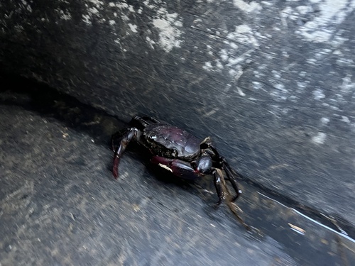
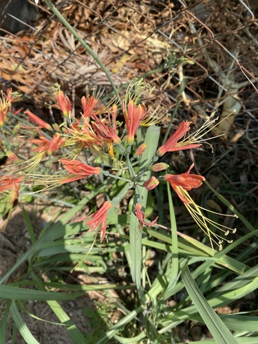
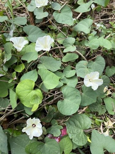
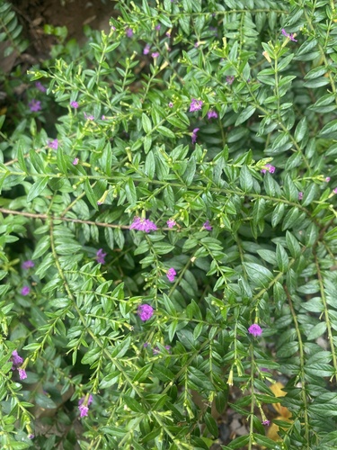
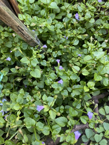
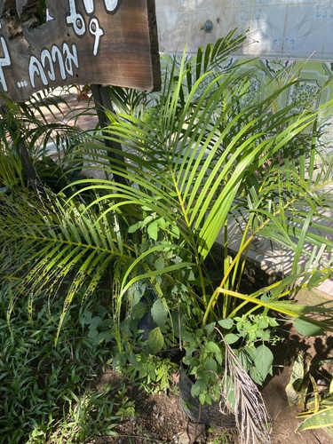
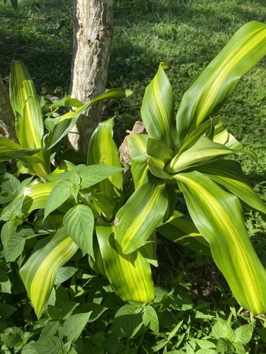
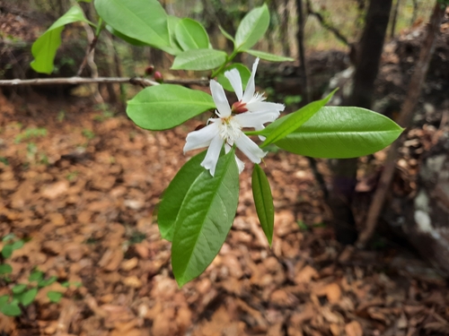
Gallery
Geotagged photos within ~6 miles of Kut Din Chi, from Wikimedia Commons contributors.

Photos via Wikimedia Commons — see each image page for license & attribution.
Sources
- • Wikimedia Commons
- • Wikidata
- • Open-Meteo Air Quality (CAMS)
- • USGS Earthquake Catalog (global feed)
- • iNaturalist
- • Open-Meteo / sunrise-sunset.org