Browse / Thailand / Lopburi / Lop Buri
Lop Buri
Lopburitown

Lop Buri
Total population
26,500
Demographic figures from National Statistical Office of Thailand. Overview below cites Wikipedia and may reference a different year.
City facts
Facts from Wikidata (CC0).
Overview
Lopburi is the capital city of Lopburi Province in Thailand, about 150 km (93 mi) northeast of Bangkok. The town covers the whole of tambon Tha Hin and part of Thale Chup Son in Mueang Lopburi District, an area of 6.85 km2 (2.64 sq mi), and has a population of 58,000. It is known for the long-tailed macaques that live around its Khmer monuments, and the Royal Thai Army Special Warfare Command is based just outside it.
Read more on WikipediaHistory & geography
History
* Several flaked stone tools were discovered in Ban Mi district, dated to the Paleolithic Age, in 1931. * A number of tools, human burial sites and bronze accessories of the Iron Age were found in the Lop Buri river basin in 1964. Karen Mudar's locational study of the moated settlements of the central plain gives the enclosure at Lopburi 137.5 ha and ranks it a regional centre, the second of four administrative levels; the region she assigns to it holds fourteen moated settlements, more than any of the other six. It also has the widest span of control in her sample, the capital's area standing to the summed area of the settlements under it at about one to four against about one to one west and north of the bay, a difference she attributed to different ways of raising grain rather than to different degrees of authority. Baker and Pasuk enter a caution about the site itself, holding Lopburi to be probably the Lavapura of the inscriptions but its early form obscured by later building. The chronicle tradition gives the town a foundation in the seventh century. According to the Northern Chronicles, Lavo was founded by Phraya Kalavarnadishraj, who came from Takkasila in 648 CE. Thai records make his father Phraya Kakabatr, also of Takkasila, which has been taken to be either Tak or Nakhon Chai Si, the setter of the Chula Sakarat era in 638 CE, which the Siamese and the Burmese used until the 19th century; the son is said to have founded the city a decade later. Lavapura became one of the most important centres in the Chao Phraya basin. Inscriptions record that it was incorporated into the administrative structure of the Khmer Empire during the reign of Suryavarman I, which gave the empire access to the trade passing through the Kra Isthmus. There is some evidence that the…
Geography
Lopburi lies on the Lopburi River at an elevation of mostly surrounded by alluvial plains, although some hills rise to between and to the north-east.
Excerpted from the corresponding Wikipedia article (CC BY-SA).
Geography
Coordinates & boundaries from the US Census TIGER/Line shapefiles.
Climate
Air quality
Walkability
Amenities nearby
Wildlife & biodiversity
Earthquake history
Photos
Sights & places nearby
Notable people from here


People born within ~10 km, from Wikidata (CC0). Click any name for their Wikipedia article.
Nearby places in Lopburi
- In Pon453.3 mi away
- Putrajaya824.4 mi away · pop. 109,202
- Gemlik4590.6 mi away · pop. 91,070
- Osmangazi4595.6 mi away · pop. 885,441
- Karadjalovo4788.8 mi away
- Dobri Dol4789 mi away
- Byala Reka4791.7 mi away
- Krushevo4793.1 mi away
- Parvomay4793.5 mi away · pop. 13,984
- Gradina4794.5 mi away
- Chehlare4796.3 mi away
- Lyöttilä4797.1 mi away
Geography & sun
Elevation, sunrise/sunset and daylight from Open-Meteo. Solar climatology from NASA POWER.
Nearby airports
Public attention
Pageview totals from the Wikimedia Pageviews API.
Books about Lop Buri
Search results from Open Library.
Recent natural events nearby
Ground air-quality sensors
Recently spotted species
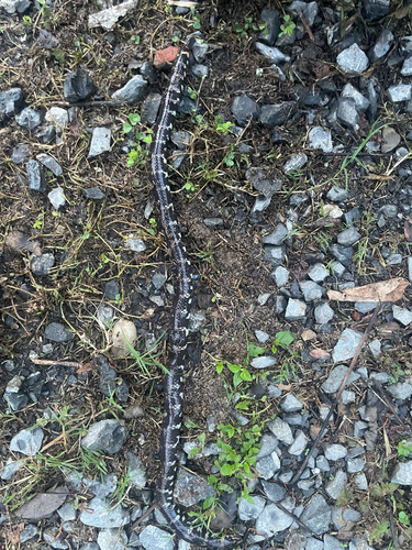
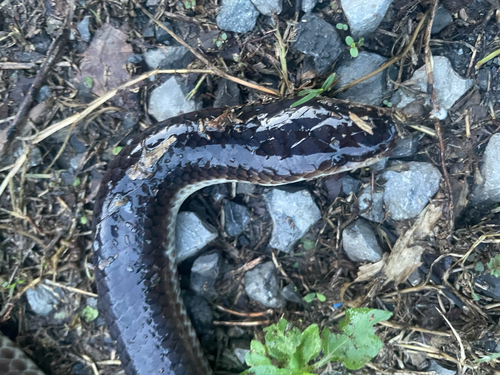
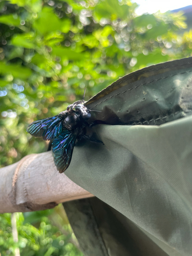
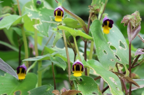
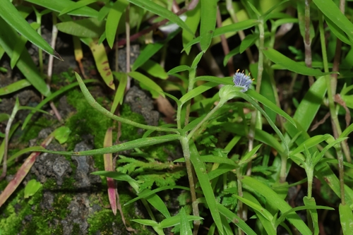
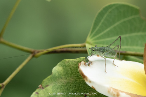
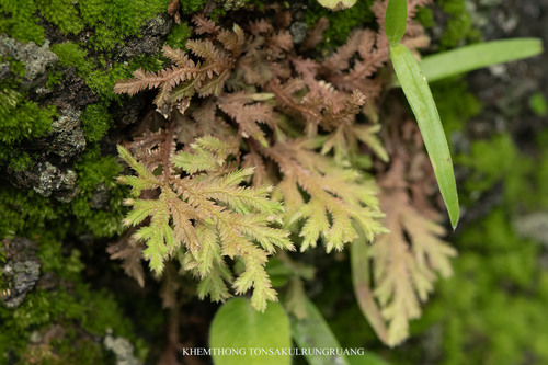
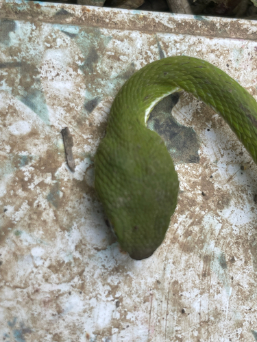
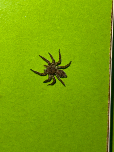
Research-grade observations from iNaturalist (within ~15 mi).
Events
Gallery
Sources
- • Wikipedia
- • Wikidata
- • iNaturalist
- • Open-Meteo / sunrise-sunset.org
- • Wikipedia Pageviews API
- • Open Library