Pua
Nantown

Featured view
Pua
Coordinates19.18°, 100.92°
Demographic figures from National Statistical Office of Thailand. Overview below cites Wikipedia and may reference a different year.
Loading additional data from public sources…0 / 11
CensusWikipediaWeatherPlacesPeopleEnvironmentHealth & SchoolsRelatedGeography & CultureLive MonitoringEvents & Gallery
0% completeCity facts
Overview
Pua is a district (amphoe) in the central part of Nan province, northern Thailand.
Read more on WikipediaHistory & geography
Geography
Latitude
19.1778
Longitude
100.9152
Water area
—
Coordinates & boundaries from the US Census TIGER/Line shapefiles.
Climate
Air quality
Walkability
Amenities nearby
Wildlife & biodiversity
Earthquake history
Photos
Sights & places nearby
Notable people from here
Nearby places in Nan
- Tha Wang Pha8.8 mi away
- Nan29.1 mi away · pop. 25,000
- Na Noi60.3 mi away
- Ngan Dừa729.9 mi away
- Phước Long738.6 mi away
- Gia Rai751 mi away
- Châu Hưng751.5 mi away
- Bạc Liêu755.4 mi away · pop. 115,508
- Gành Hào763.4 mi away
- Terme4013.9 mi away · pop. 71,366
- Salıpazarı4021.2 mi away · pop. 19,305
- Çarşamba4026.6 mi away · pop. 140,439
Geography & sun
Avg solar (kWh/m²/day)
4.82
Annual solar (kWh/m²)
1,759
Elevation, sunrise/sunset and daylight from Open-Meteo. Solar climatology from NASA POWER.
Nearby airports
Public attention
Wikipedia views (last 30 days)
2
Avg daily Wikipedia views
0
Attention level
Obscure
Pageview totals from the Wikimedia Pageviews API.
Books about Pua
ʻŌ̜. Pūa, Čhō̜. Nān
1985
Khrōngkān "Thammāphibān dān kānbō̜rihān čhatkān singwǣtlō̜m khō̜ng ʻongkō̜n pokkhrō̜ng sūan thō̜ngthin: sưksā kānrirœ̄m khō̜ng thō̜ngthin krabūankān nayōbāi læ patčhai sū khwāmsamret"
Thailand. Samnakngān Kōngthun Sanapsanun Kānsāngsœ̄m Sukkhaphāp · 2007
Search results from Open Library.
Recent natural events nearby
Ground air-quality sensors
Recently spotted species
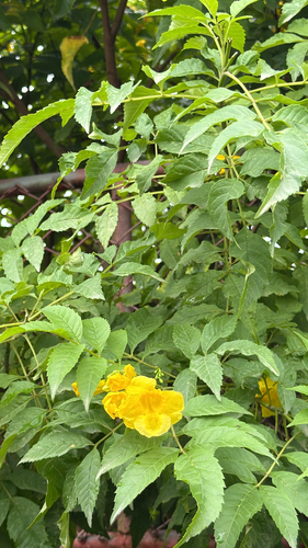
yellow trumpet flower
Tecoma stans
Seen 2026-09-09
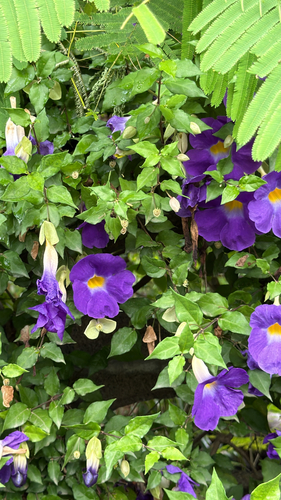
Bush Thunbergia
Thunbergia erecta
Seen 2026-09-09
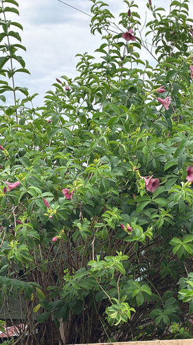
Purple Allamanda
Allamanda blanchetii
Seen 2026-09-09
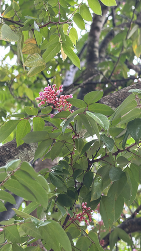
Starfruit
Averrhoa carambola
Seen 2026-09-09
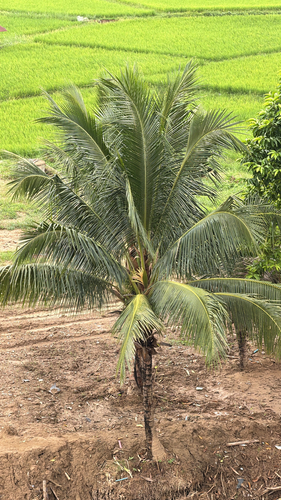
coconut palm
Cocos nucifera
Seen 2026-09-09
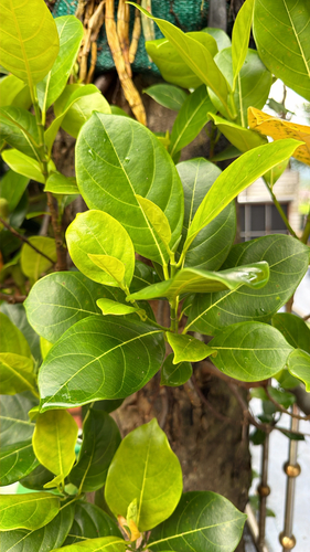
Jackfruit
Artocarpus heterophyllus
Seen 2026-09-09
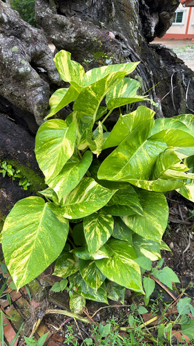
Golden Pothos
Epipremnum aureum
Seen 2026-09-09
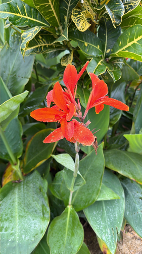
Indian shot
Canna indica
Seen 2026-09-09
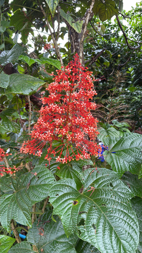
Pagoda Flower
Clerodendrum paniculatum
Seen 2026-09-09
Research-grade observations from iNaturalist (within ~15 mi).
Events
Gallery
Sources
- • Wikipedia
- • iNaturalist
- • Open-Meteo / sunrise-sunset.org
- • Wikipedia Pageviews API
- • Open Library